MountainBikeTx.com
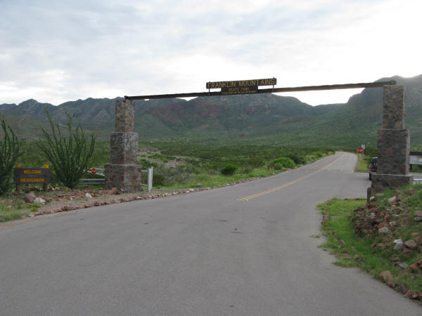
Franklin Mountains State Park
(Tom Mays Unit)
El Paso, TX
Click here for help on how to read this trail guide
Directions:
Length:
Technical Level:
Trail Type:
Configuration:
Trail Map(s):
Fee:
Trails:
Amenities:
Links:
Contact:
Comments:
Photos:
Video:
Trail Review:
15.5+ miles
3
singletrack; doubletrack
loop
TPWD |
TPWD trail map |
SGI |
Sun Rides |
BMBA
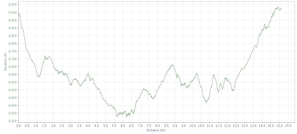
Elevation Profile (counter-clockwise)
$5 per person 13 and older/day use (annual pass available for $70)
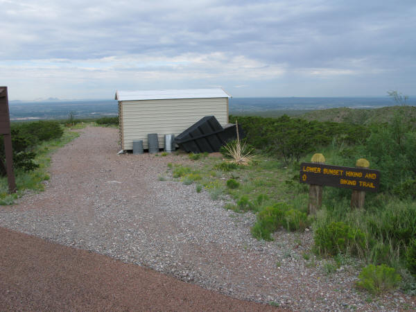
Lower Sunset Trail | Upper Sunset Trail | Beginner Loop
• Restrooms
• Picnic sites with a shade roof, picnic table, and barbecue grill
• Primitive camping (tents only)
• Limited RV parking (no hook ups)
TPWD website | Chuck Heinrich Park trail listing
(915) 566-6441
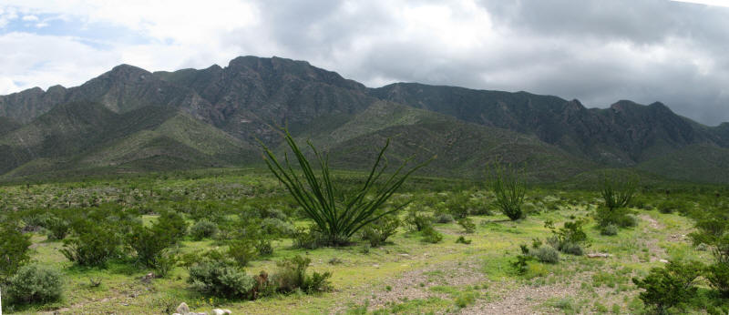
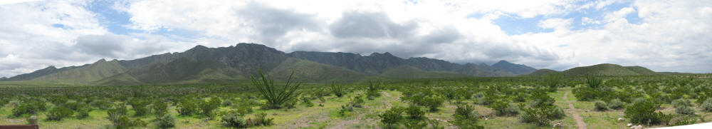
Located near El Paso, Franklin Mountains State Park offers some bona fide mountain biking through Chihuahuan Desert habitat and some of the highest peaks in the state. ~TPWD

unavailable
Franklin Mountains State
Park’s trails are comprised of the Lower Sunset Trail and the Upper
Sunset Trail. If you neglected to print off the trail map linked here,
don’t worry, they will give you a larger one at the park headquarters
when you enter, though you may need to ask for it. The great thing about
the bike trails map is the numbered marker descriptions. They definitely
can come in handy, just don’t confuse them for mile markers.
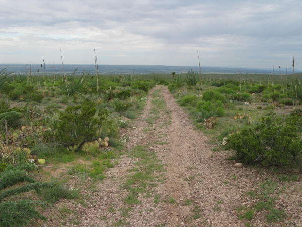
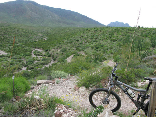
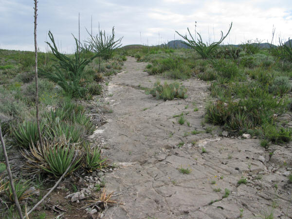
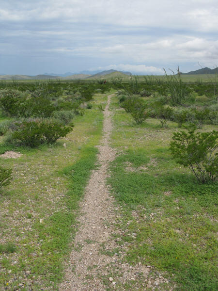
Once you hit the trail you’ll be riding along doubletrack that gradually
loses elevation – in other words, a steady descent. When you see Marker
2, however, the fun begins. On your map, Marker 2 states, “Singletrack
starts: CAUTION!” Pretty thoughtful considering that the singletrack
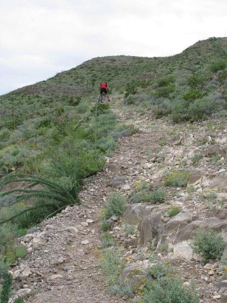
welcomes you with a quick, rocky downhill and a tight switchback halfway
down to make sure you are paying attention. Welcome to Franklin Mountains
State Park!
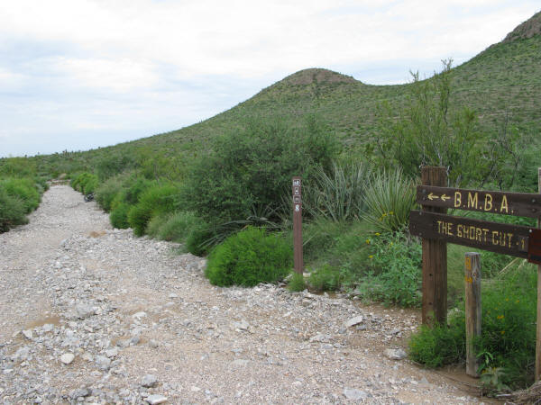
The great thing about Franklin Mountains is that you can make it a 6.2 mile
or a 15.5 mile loop, or a few other lengths in between thanks to the
5 shortcuts along the route. So, if the weather gets bad, you suffer
a mechanical, or whatever other reason, you can call it a day at various
points. If you do the full 15.5 mile loop, ensure it’s not too hot unless
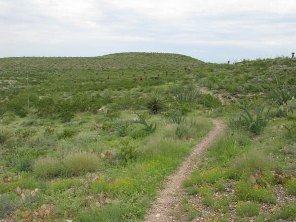
you are well equipped. Unfortunately after the last opportunity to cut
the loops short it becomes evident that few riders venture out this
far as the trail is somewhat overgrown in sections making it hard to
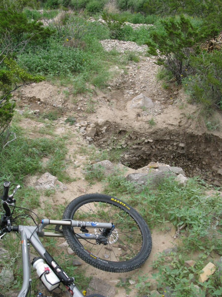
see the trail and/or trail markers, and there is a nice 5 foot ditch
that might greet you unexpectedly if you don’t see it coming. Just watch
your speed unless you can see what lies ahead.
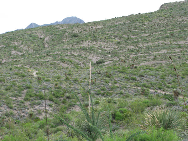
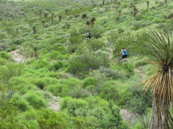
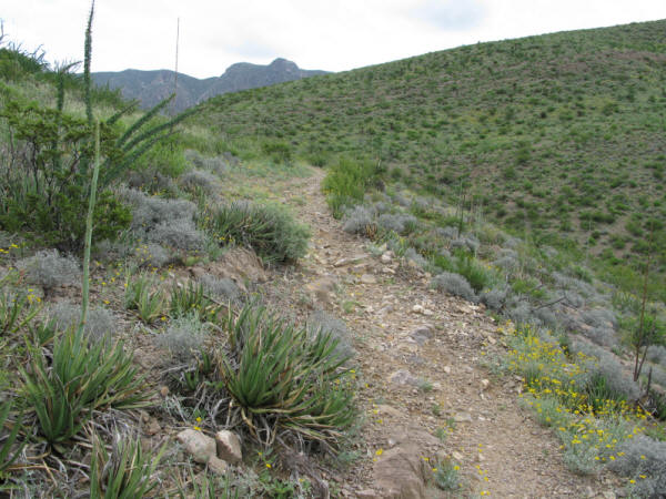
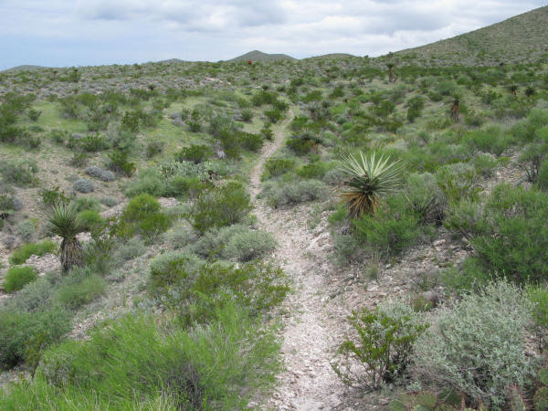
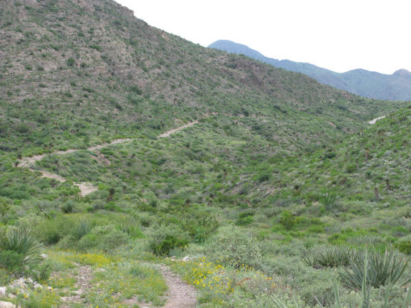
The climbs throughout the Sunset Trails are sometimes very loose and steep,
while others are simply gradual. The nice thing, however, is that for
every foot of uphill there seems to be 1.5 feet of downhill soon to
follow. For example, leading up to Marker 3 is a decent climb along
exposed rock (which, by-the-way makes for great traction going up).
Hit Marker 3 and there are two fast descents back to back; a little
rocky, perhaps, but definitely fast and fun. Another noteworthy section
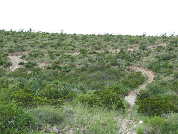
follows Marker 5. Here, the trail levels out in the wide open, with
rocks lining the sides of trail sections to help you navigate, and like
the beginning of the ride, is a very slight loss in elevation as you
go. Translation: the potential for lots of speed as you wind along the
trail.
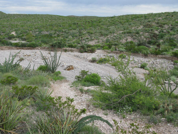
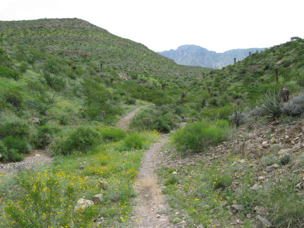
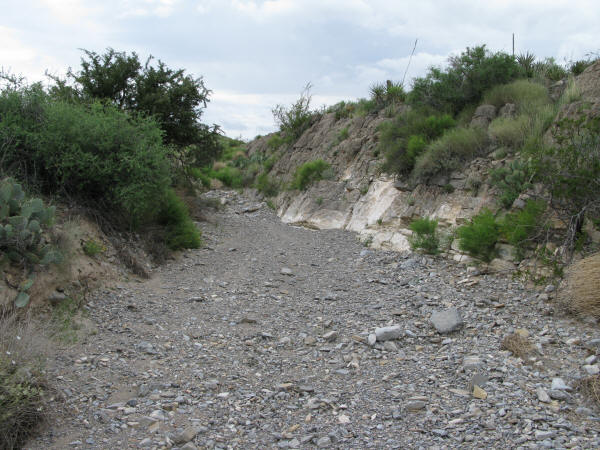
Many times you will find yourself crossing the dry arroyos (streams), while
a few other sections of the trail simply run within the arroyo, just
keep an eye out for the exit signs when you are riding in one watch
out when you cross as some of the banks are fairly steep.
If you elect to ride the entire 15.5 miles make sure you have plenty of water,
especially if it’s a typical west Texas day, of course. Like mentioned
earlier, be aware that the trail may be not be quite so worn and somewhat
difficult in some sections to follow. The good news is that once you
hit the half way point (around Marker 27 or 28), the climbs kinda’ tone
down a bit, with one or two exceptions; the biggest of which would be
the final stretch. This last mile or so is a long, steady climb. As
far as grade is concerned, it’s not too bad, but it’s long and very
steady. Once you hit the top, the trail ends. Jump on and fly down the
road back to the trailhead.
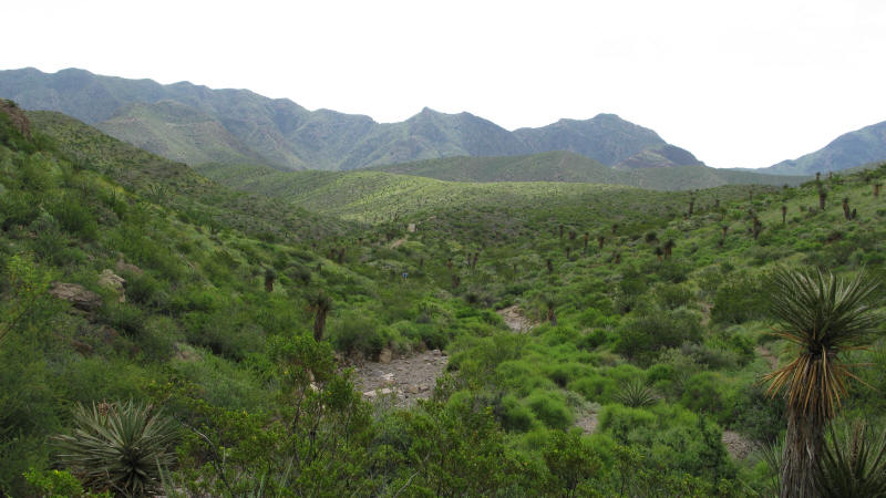
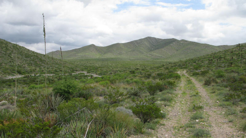
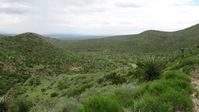
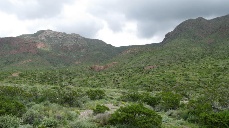
The bottom line? Franklin Mountains State Park offers a little bit of everything
from steep climbs to fast winding singletrack, to rapid descents and
more. On top of all that it is indeed a very scenic trail with the Franklin
Mountains on one side, and the valley on the other.
~ MountainBikeTx.com(Aug 2008)