MountainBikeTx.com
Lake Georgetown (Goodwater Loop)
Georgetown, TX
Click here for help on how to read this trail guide
Directions:
Length:
Technical Level:
Trail Type:
Configuration:
Trail Map(s):
Fee:
Trails:
Amenities:
Links:
Contact:
Comments:
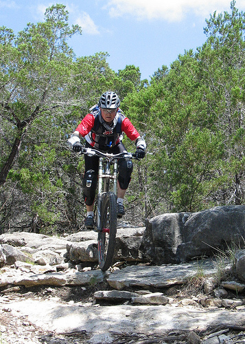
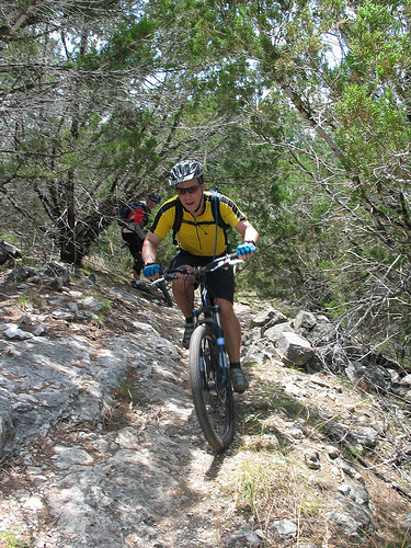
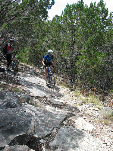
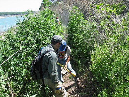
Photos:
Video:
Trail Review:
26+ miles
3+
singletrack; doubletrack
loop
none
n/a
• Covered picnic sites, including
several group areas
• Swim beach
• Various camping opportunities
• Boat ramps
• Fishing dock
(512) 930-LAKE (5253)

![]()

unavailable
unavailable
Last modified: 6 July 2010