MountainBikeTx.com
Bull Creek Greenbelt
Austin, TX
Click here for help on how to read this trail guide
Directions:
Length:
Technical Level:
Trail Type:
Configuration:
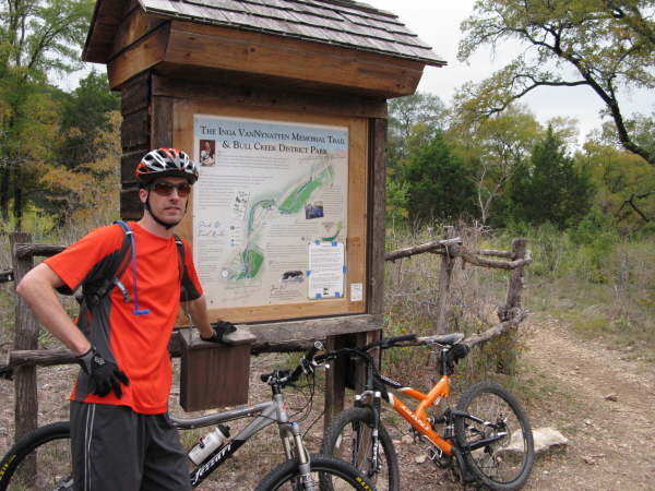
Trail Map(s):
Fee:
Trails:
Amenities:
Links:
Contact:
Comments:
Photos:
Video:
Trail Review:
5 miles
2
singletrack
loop
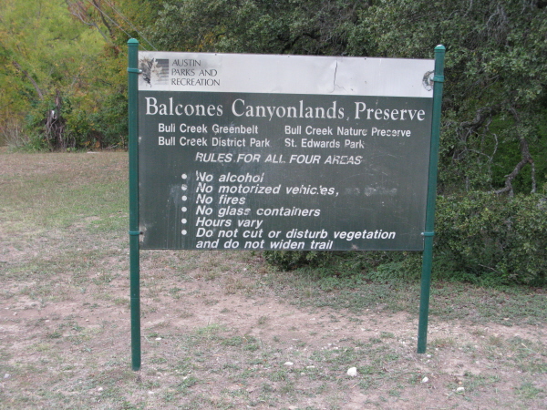
City of Austin (Lower Bull Creek) |
City of Austin (Upper Bull Creek)
none
Inga's Trail | Skip's Loop | Bluff Trail
тАв Restroom
тАв Swimming area
Austin Parks & Recreation (Greenbelts) | Bull Creek Foundation
(512) 974-6700
Click here to send an email
тАв Also check out St. Edward's Park
unavailable
The nice thing about Bull
Creek Greenbelt is that it can be completed as an out and back or as
a loop, depending on whether you wish to ride along both sides of the
creek. If you decide to ride it as a loop, I recommend that you ride
clockwise, keeping Bull Creek on your right. ThereтАЩs no real reason
behind the recommendation, but thatтАЩs the way I rode it and it seemed
like a decent direction to go.
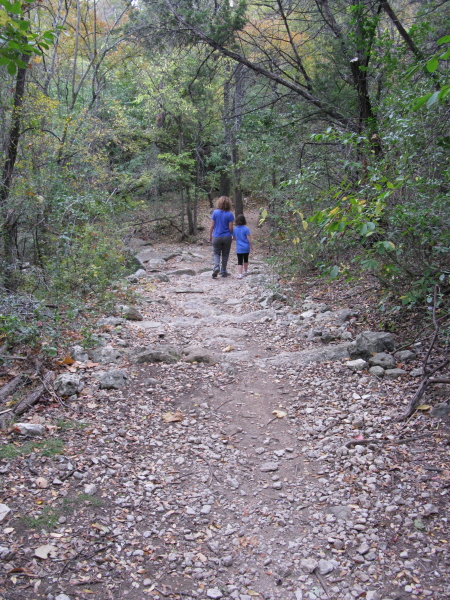
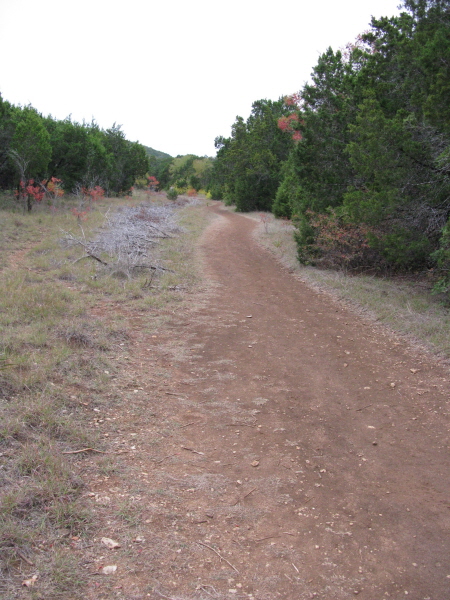
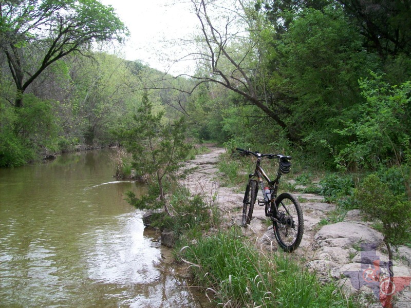
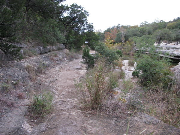
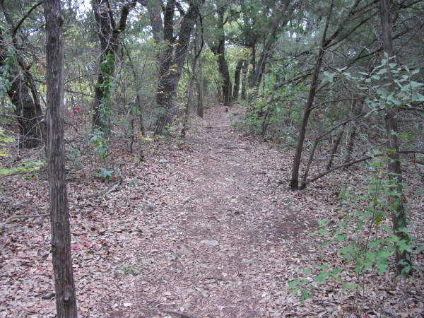
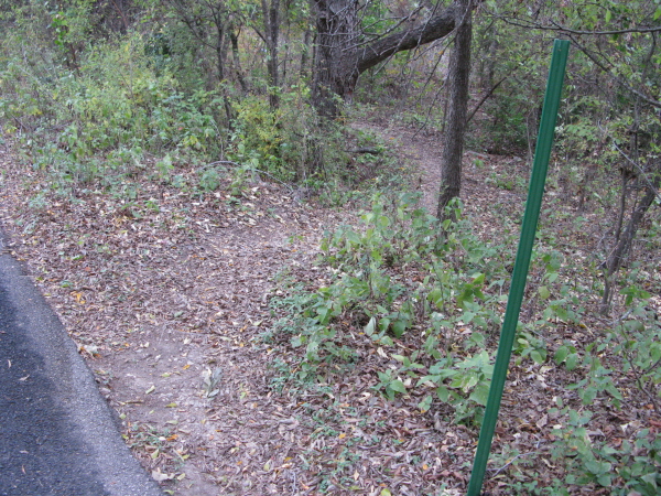
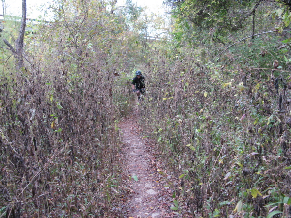
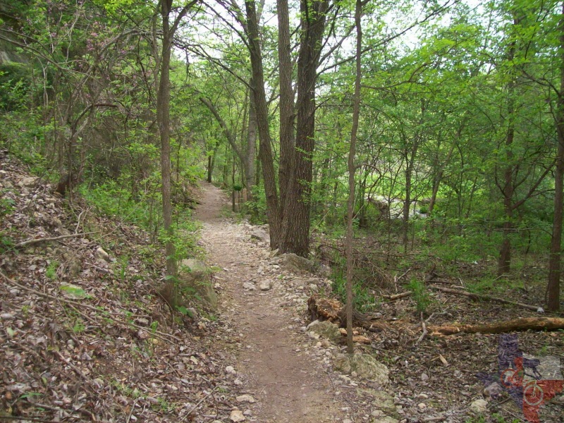
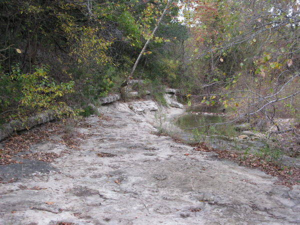
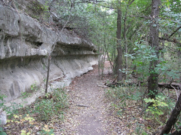
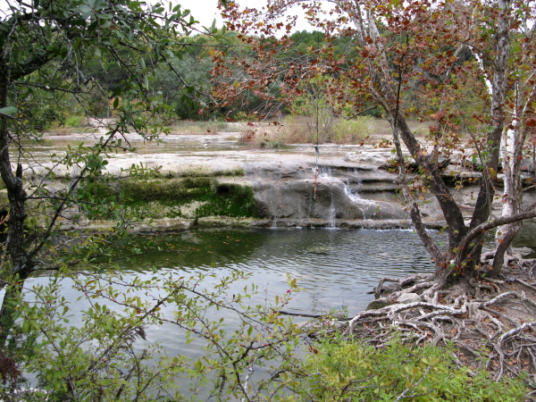
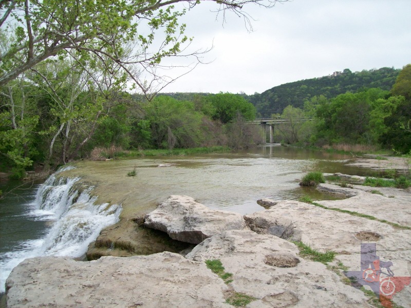
Although most of the trail is true singletrack, there are a few sections
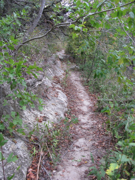
that widen out a little. Also, many of the sections are right along
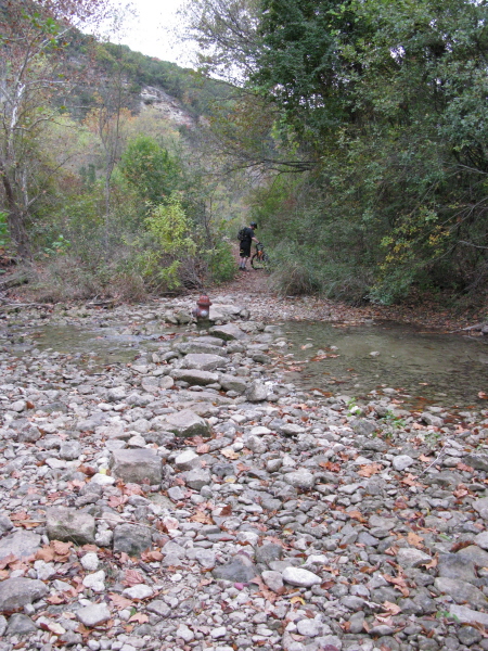
the creek bank and, as a result, are sheer rock. ThatтАЩs not necessarily
a bad thing unless it has rained recently or the surface is damp for
whatever other reason. If they are wet, they can be quite slick; dry,
however, and they offer very good traction. There is one section like
this that presents an added evil; gaps between the rocks [see photos].
Let your front wheel get caught and one of these and you are sure to
be making a quick, unplanned dismount.
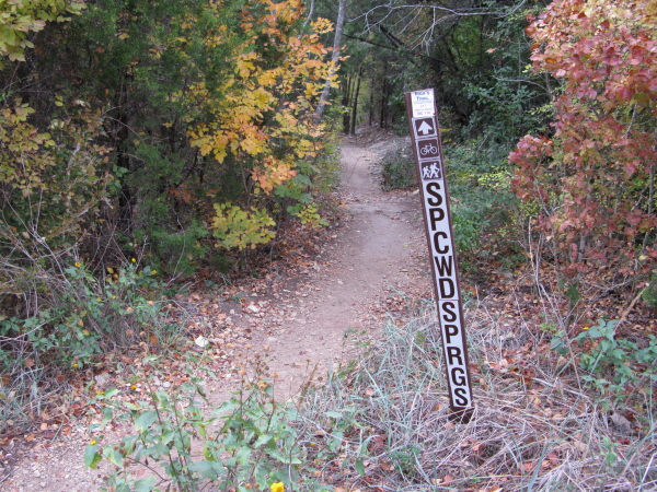
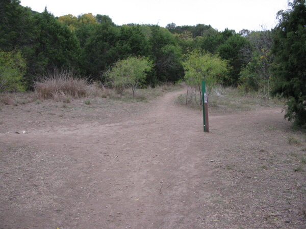
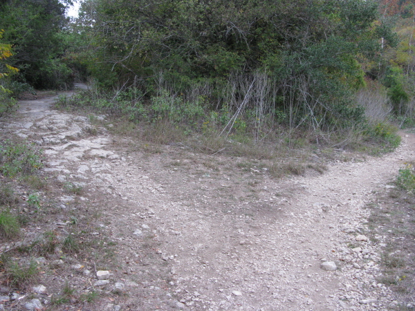
YouтАЩll know you have reached the turnaround point (if riding out and back)
or turning point (loop) when you come to essentially a 5 way intersection.
Straight bearing right will take you up a steep hill to one of the many
trailheads, and straight bearing left will take you back into a section
that seemed to be more rogue trail than anything. Make a left and you
can hit SkipтАЩs Loop; nothing overly exciting, but a nice little loop
to give you some added mileage.
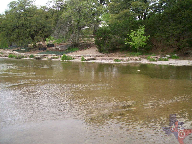
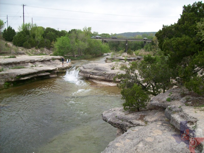
If you make a right at the 5-way you will proceed down some тАЬstepsтАЭ to the
edge of Bull Creek. Feel free to ride across if it isnтАЩt too deep, and
proceed up the hill (no trail) and to the right. YouтАЩll see another
trailhead with the Greenbelt map on it, go ahead and jump back on the
trail here. This will eventually put Bull Creek alongside you on the
right. On the return trip if you are doing the loop you will come to
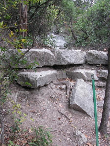
a few places that arenтАЩt really rideable in which you will have to dismount.
These are mostly ledges that arenтАЩt capable of being climbed on two
wheels. Just lift your bike up and jump back on. Eventually you will
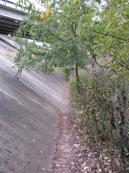
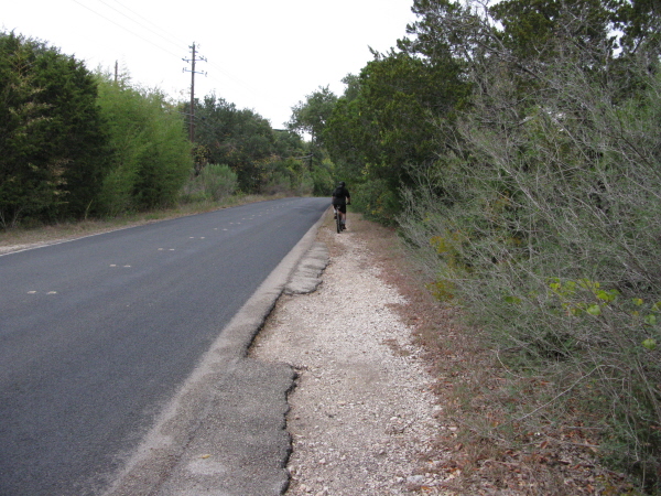
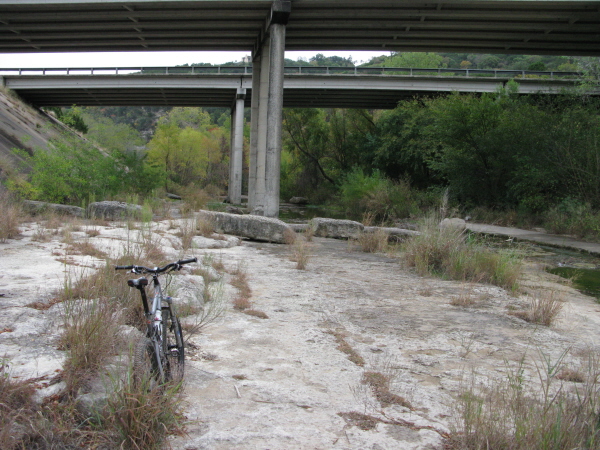
come out at another trailhead with a low water crossing where the road
crosses the creek. You can either cross the road, turning left back
on the trail, or simply cross the creek on foot right before the overpass.
Although you can, you wonтАЩt have to cross the creek until you reach
this spot.
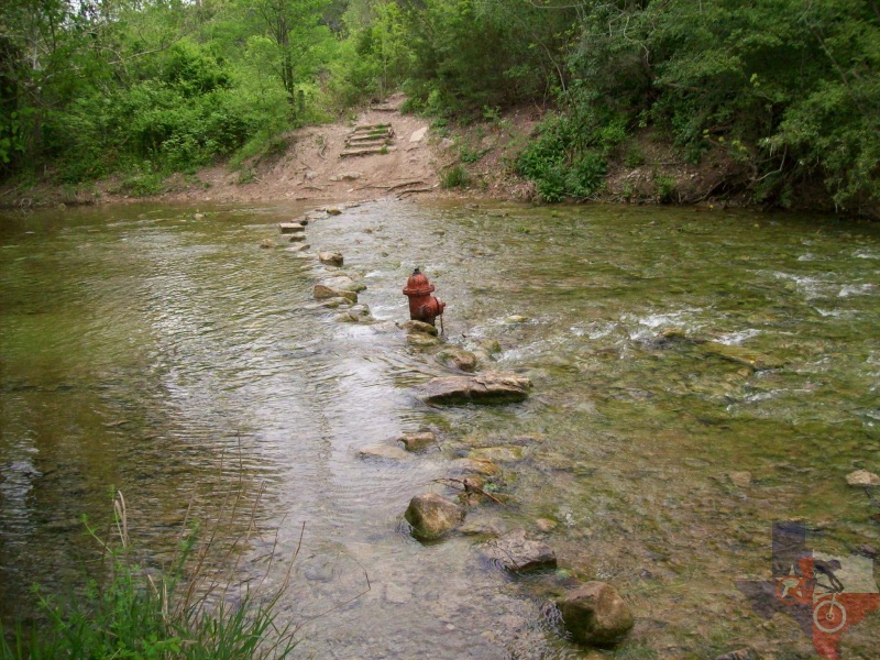
On your trip out you would have come down some steps and crossed a low water
section with a fire hydrant in the middle. Don't ask me. On the return
trip, take the left split in the trail to avoid having to ride up those
steps. As you near the end youтАЩll come out to the main road. Safely
cross, jump on the little stretch of singletrack and you will find yourself
back at the trailhead parking area.
Although once part of a series of parks, the center section (Forest
Ridge) no longer allows mountain bikes, so St. Edwards Park can no longer
be reached directly from Bull Creek. Nevertheless, Bull Creek Greenbelt
alone is a pleasant ride that should entertain most everyone. It's only
real negative aspect would be that some sections are in need of a little
trimming.
~ MountainBikeTx.com