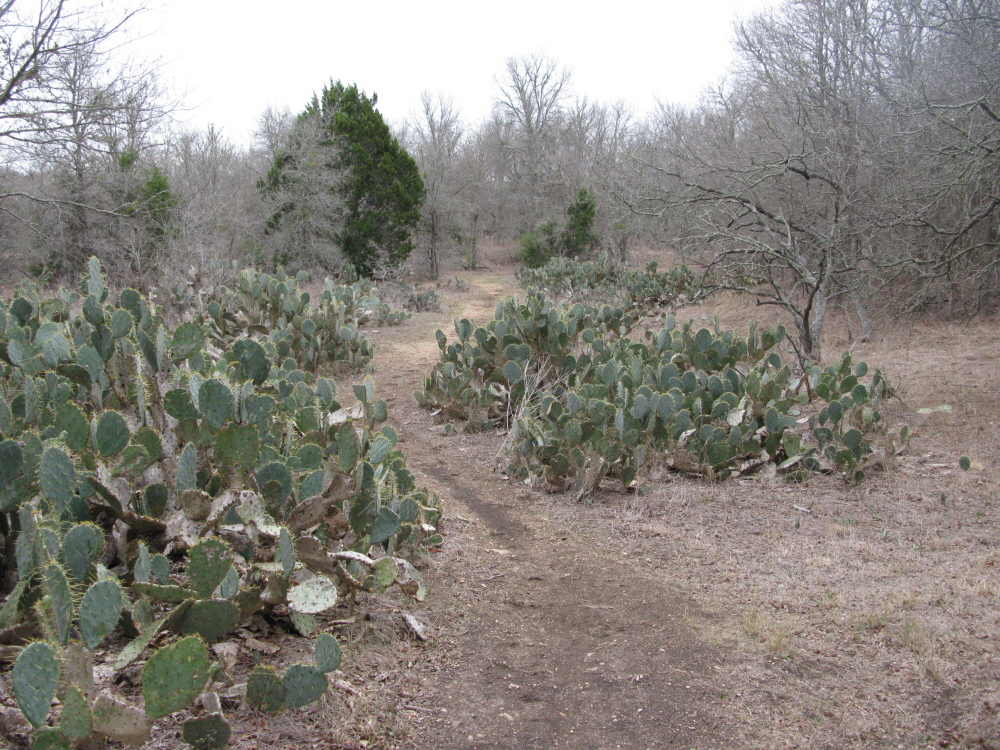
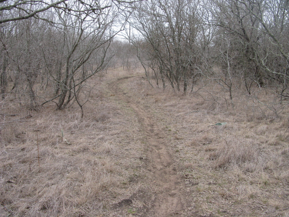
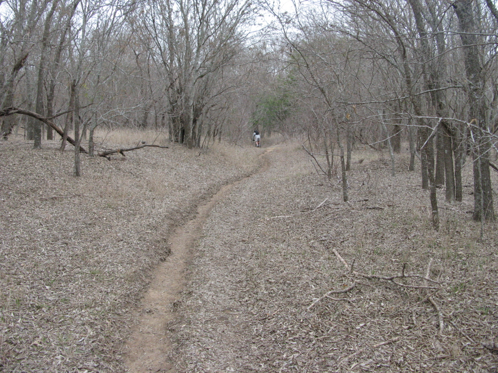
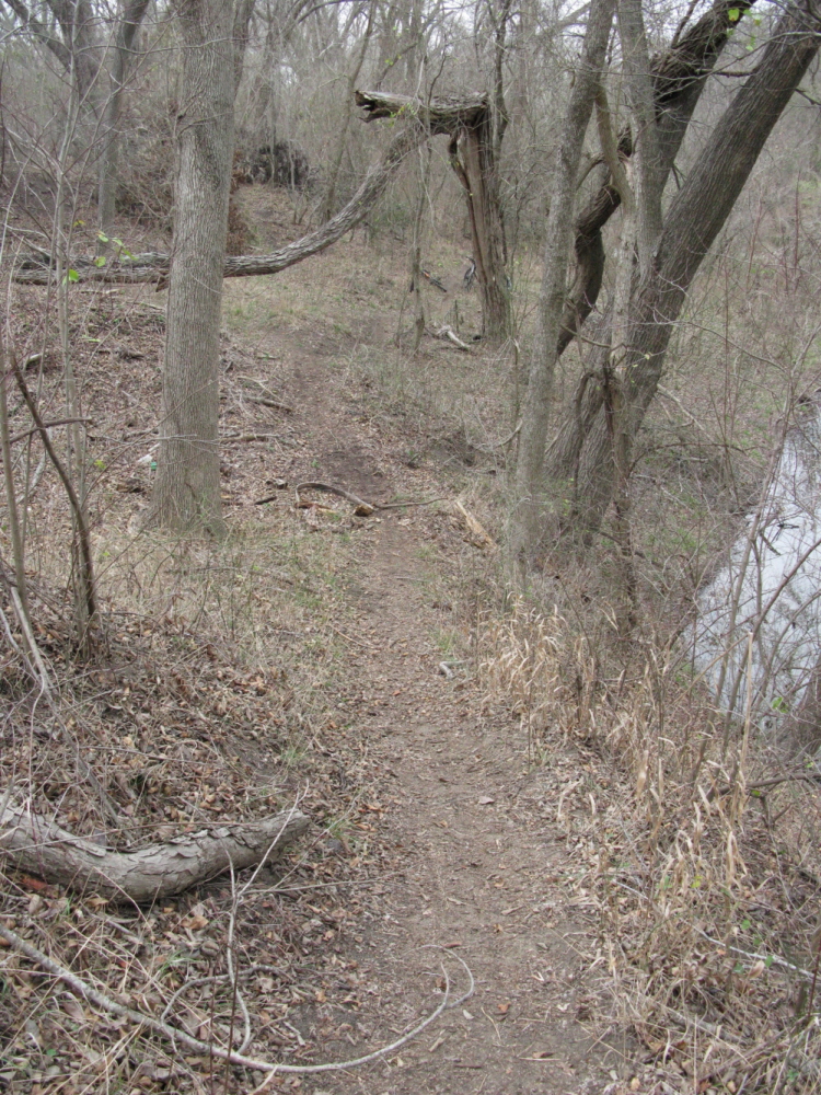
MountainBikeTx.com

Onion Creek Greenbelt & Metro Park
 Austin, TX

Click here for help on how to read this trail guide

Directions:

Length:

Technical Level:

Trail Type:

Configuration:

Trail Map(s):

Fee:

Trails:

Amenities:

Links:

Contact:

Comments:

Photos:

Video:

Trail Review:


MapIt!

10 miles

2

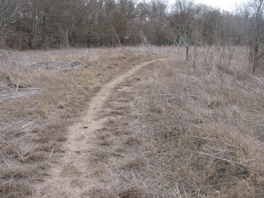
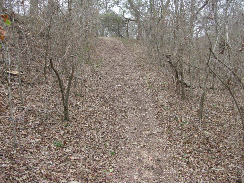
singletrack; doubletrack

network

City of Austin  |  GPS/Google (.kml)

none

n/a

• Picnic tables
• Playground

Austin Parks & Recreation (Greenbelts)

(512) 974-6700
Click here to send an email

There are multiple entry points. Two easiest ones are suggest to be:
•  Turn into the park at Onion Creek Dr as soon as you turn south of Wm Cannon on Pleasant Valley,
• Where Pleasant Valley ends at the corner of Onion Creek Dr in front of a school.

The trailhead if you begin near Pleasant Valley and Onion Creek Section of trail and pipeline near the school trailhead Though difficult to see, the dropoff to the creek on the left would make for a bad day A not-so worn section on the far west near the school Onion Creek offers ample straightaways to cruise or fly along
Cut through the break in the pipe to hit the trails to the east Doubletrack might not be exciting, but it's fast Cross here at Onion Creek and access 100 acres of singletrack! One of only a handful of climbs at Onion Creek Don't worry, a fall here is well-padded
Smooth flowing singletrack on the south side of Onion Creek The singletrack leads up to a slight 'downhill' Quick whoopdeedo that will have your rear tire sliding towards the creek if you aren't careful A long, fast section out in the open Signs of equestrian use are abundant, but have yet to hurt the trails too much
Much of the Back 100 is just like this...straight and fast A peaceful stretch through a tunnel of trees Returning by way of the cacti almost looks like a painful deadend Doubletrack leading back to the main trailhead

unavailable

unavailable


Onion Creek Greenbelt weather forecast

Last modified: 4 January 2016