MountainBikeTx.com
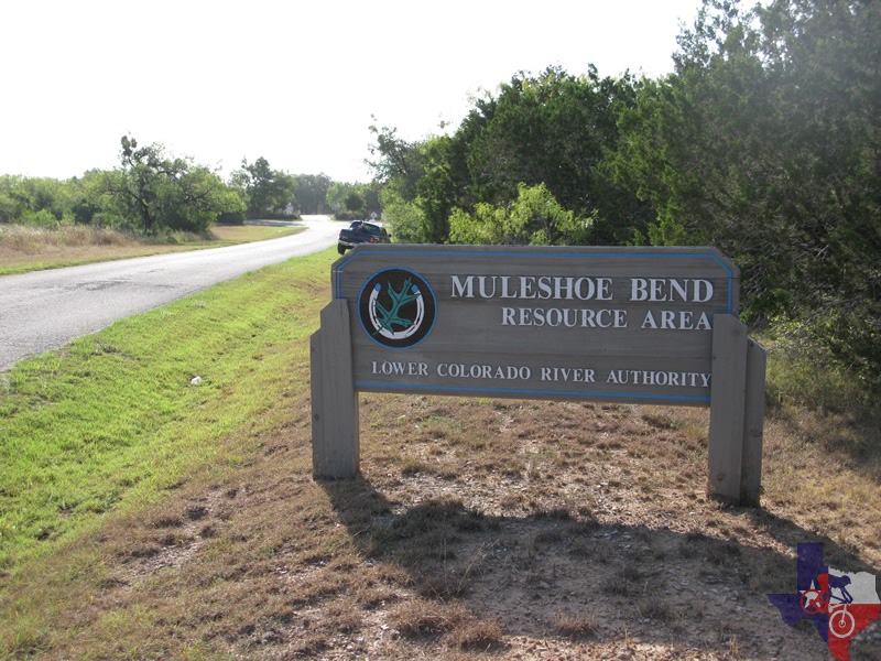
Muleshoe Bend Recreation Area
Spicewood, TX
Click here for help on how to read this trail guide
Directions:
Length:
Technical Level:
Trail Type:
Configuration:
Trail Map(s):
Fee:
Trails:
Amenities:
Links:
Contact:
Comments:
Photos:
Video:
Trail Review:
7.5 miles
3
singletrack
loop (clockwise)
$5 per vehicle/day use
Note: Annual vehicle permit available for all LCRA
recreation areas: Muleshoe Bend, Grelle Park, Turkey Bend, Gloster Bend
and Plum Park for $50.
n/a
ŌĆó Waterless toilets
ŌĆó Picnic tables
ŌĆó Camping is allowed but minimal facilities are provided
ŌĆó Fire rings
unavailable
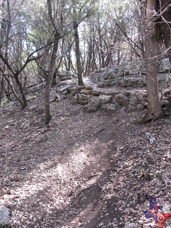
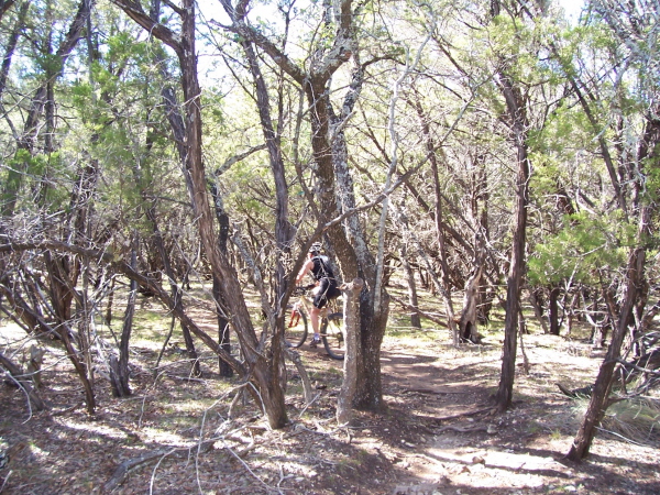
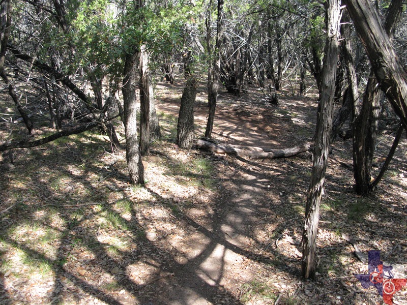
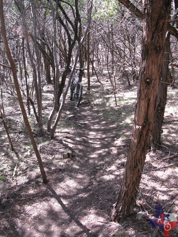
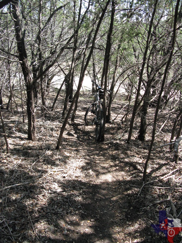
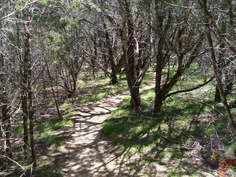
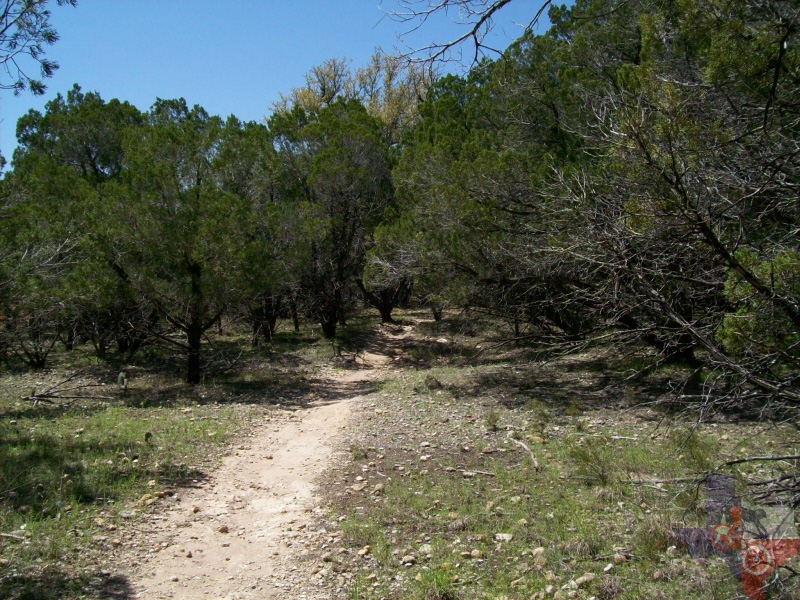
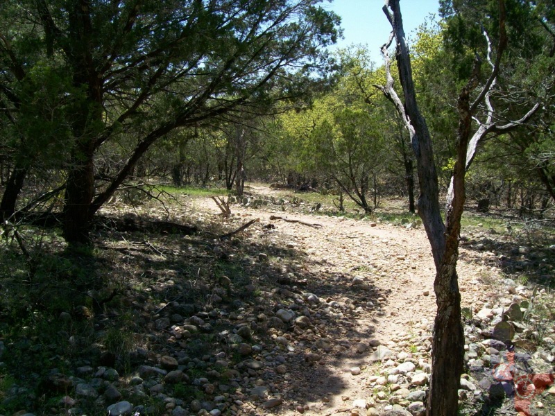
Muleshoe LCRA Park is a 7.5 mile trail excursion
through the Hill Country in lands bordering the north shore of Lake
Travis, almost directly across from Lakeway. It is a joint operation
of maintenance between the LCRA (Lower Colorado River Authority) and
The Austin Ridge Riders, the local Austin mountain bike organization,
who have done a very good job on the trail.
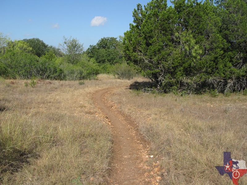
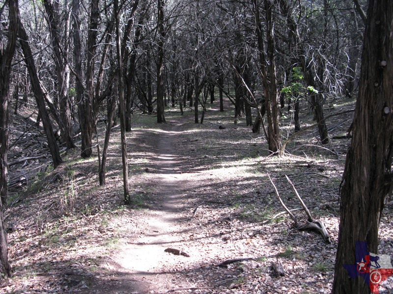
The area is a cedar covered park with camping facilities and lake access
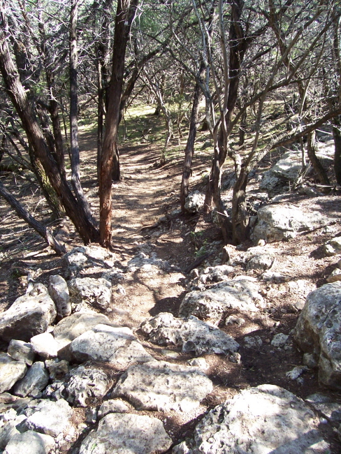
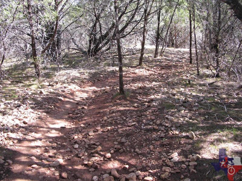
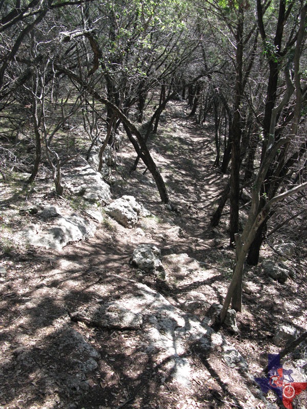
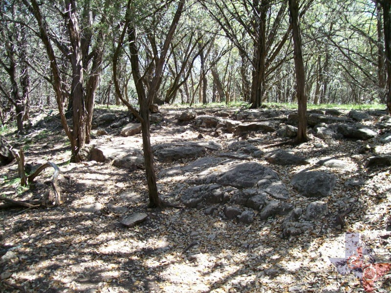
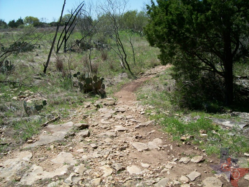
and plenty of ascents and descents along the 7.5 mile loop. There are
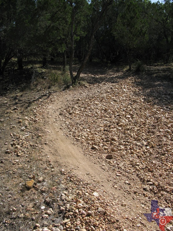
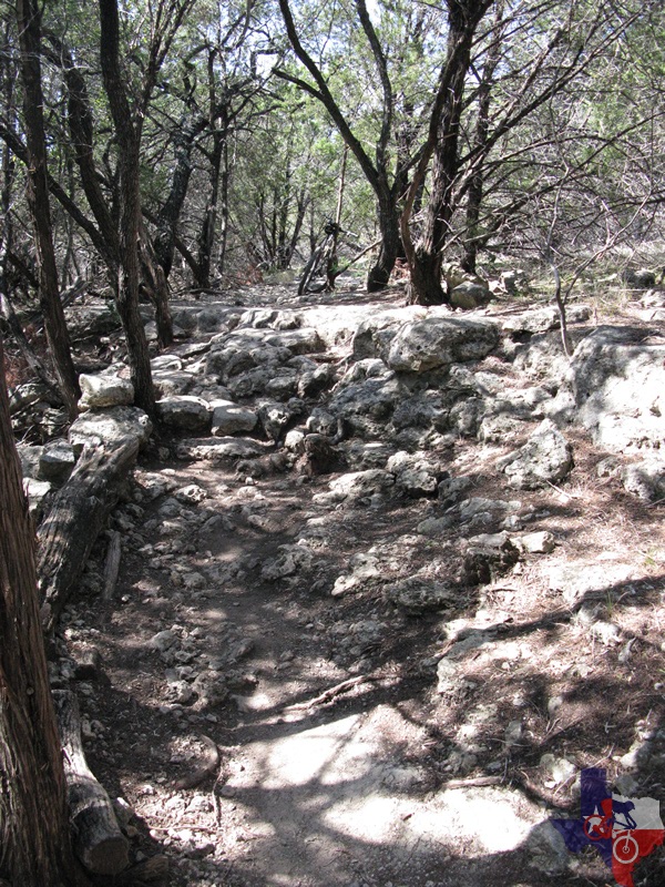
rocky outcroppings, hairpin turns, river rock paths, gravel washes and
compressed dirt and decomposing granite. A good trail for riding, not
extremely crowded, but with the popularity of mountain biking increasing,
it won't be long before the place gets a good crowd going.
The area is popular with whitetail deer, squirrel, hognose snakes, bull snakes,
rattlesnakes, various lizards and other fauna. A great place to hang
out as well as this is a great trail to ride. The fee is $5 per car
load at the Ranger station.
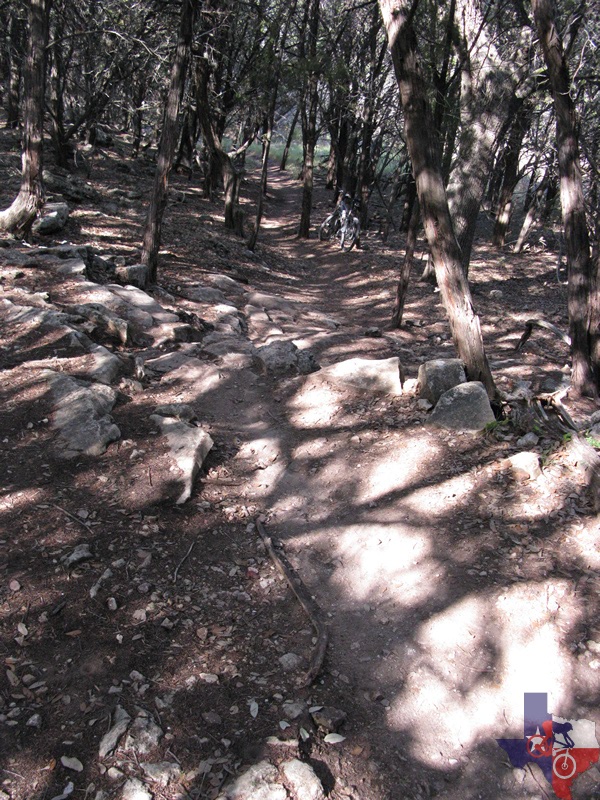
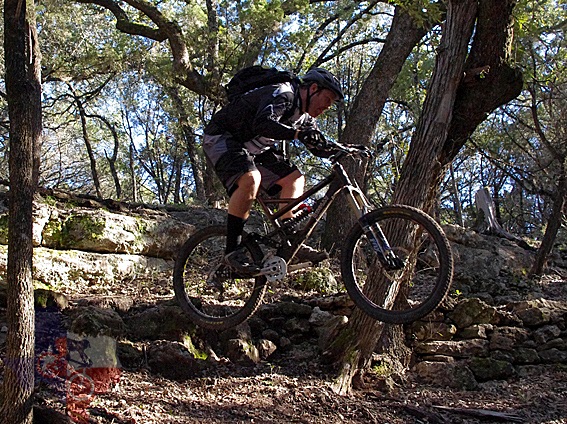
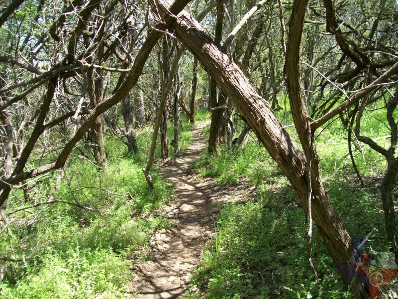
Muleshoe LCRA Park is a good, challenging course. Good singletrack, varied
elevations and trail surfaces and a couple of jeep trail crossings.
Man, better have some good legs and a quick eye. Not recommended for
beginning riders. Very fast sections, very technical areas and a couple
of vertical stair steps along the trail. The trail stewards have added
almost 3.5 miles to the primary loop which includes 4 side loops that
are more challenging, but well worth the extra effort. From limestone
ledges that you must traverse to some stair steps to navigate to off-camber
rollers that will keep you looking ahead for the next big romp. All
of the side loops exit and enter the main loop within a few yards of
each other and add to an already great trail; however, be aware on the
side loops. Since they are not as heavily trafficked, this is where
you are most likely to see the only poisonous snake spotted on the trails.
Just keep an eye out and let them get out of your way, do not attempt
to kill or molest them. Since you're in their territory AND 'off the
beaten path', err on the side of caution so you both can go on your
way safely.
~ Deacon
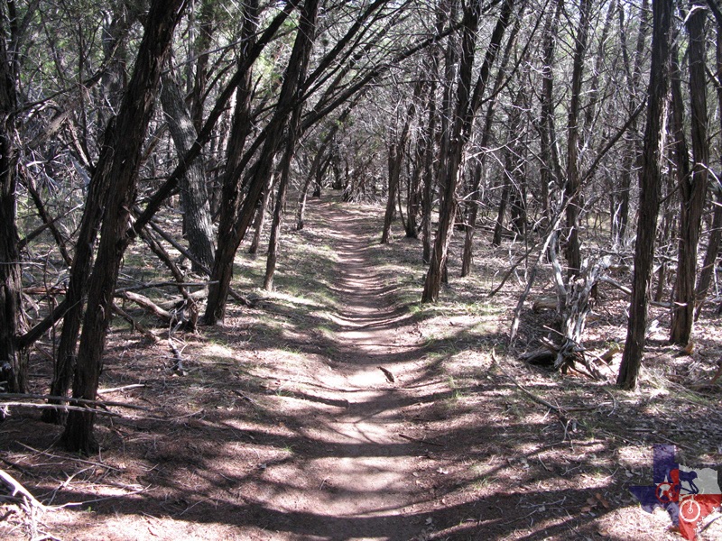
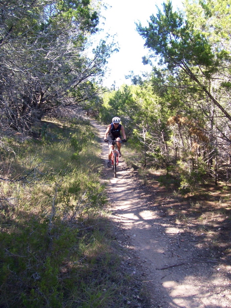
Fast, tight, twisty loop with a lot of short
climbs. Shaded by cedar & mesquite trees. Lots of sand, rocks , limestone,
and dirt. this is a great trail. Closest place I can compare it to is
Rocky Hill Ranch. Not all of it is bad there are a few places the are
smooth open coarse packed sand. and there are a few places that, unless
you want a broken bone, you just have to walk. The only hills we had
to walk were the ones with a lot of golf ball to baseball sized rocks.
As bad as I make it sound there are some really fun 1 to 2 miles sections
that have nice flow to them and you can pump you way through it with
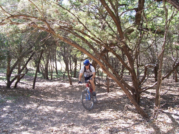
ease. There are a few trees that the trail goes through (literally).
A lot of hairpin, uphill turns and some downhill.
When you have had your fill of trails you can go down to the lake shore and
take a dip in Lake Travis to cool off. Very fun trail to ride.
~ Wes Comeaux(June 2009)