MountainBikeTx.com
Hill Country State Natural Area
Bandera, TX
Click here for help on how to read this trail guide
Directions:
Length:
Technical Level:
Trail Type:
Configuration:
Trail Map(s):
Fee:
Trails:
Amenities:
Links:
Contact:
Comments:
Photos:
Video:
Trail Review:
32 miles
2-4
singletrack; doubletrack; jeep roads
mostly loops
$6 per person 13 and older/day use (annual pass available for $70)
Bandera Creek | Bar-O Pasture
(Blackjack, Creek Bottom, Prairie Loop)
Cougar Canyon (Boyles, Cougar Canyon Overlook) | Hermit's Trace (Good
Luck, Side Track) | Hightower (Chaquita Falls, Comanche Bluff Overlook)
| Pasture Loop (Cedar, Chalpa, Eagle)
Spring Branch (Spring Run) | Twin Peaks (Cougar Rock, Saddleback, West
Peak) | Wilderness (Ice Cream Hill, Wilderness Cut)
• Various equestrian accommodations
• Various camping options
• Restroom
• Bike/horse wash station
• Designated swimming areas
(830) 796-4413
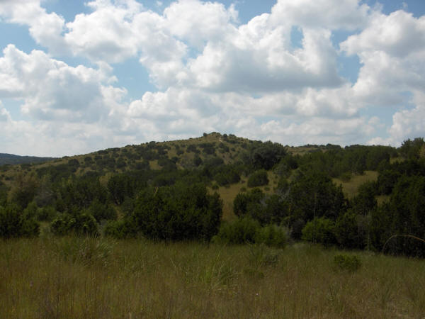
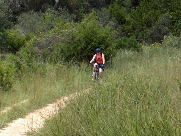
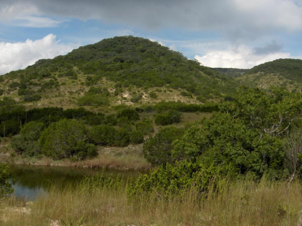
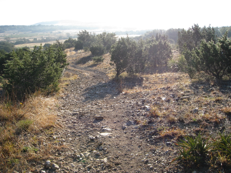
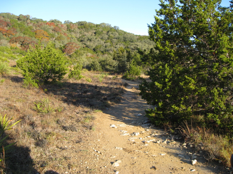
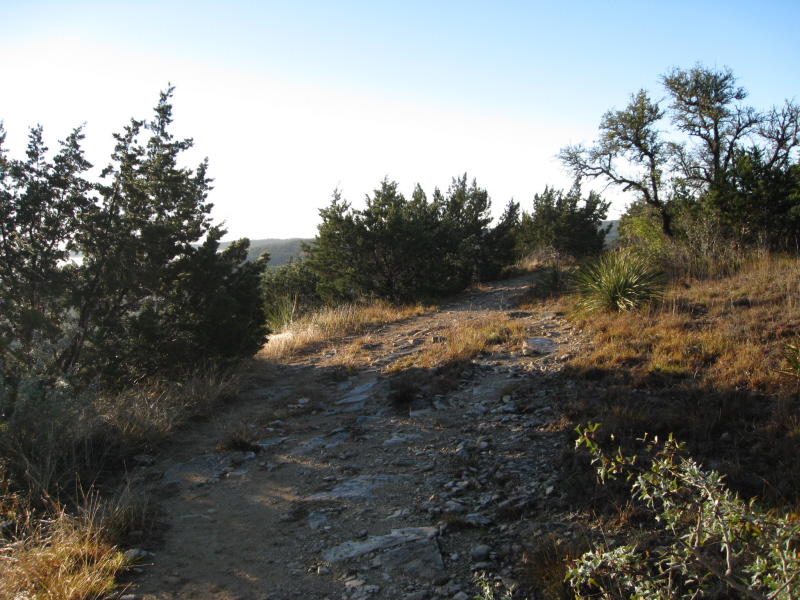
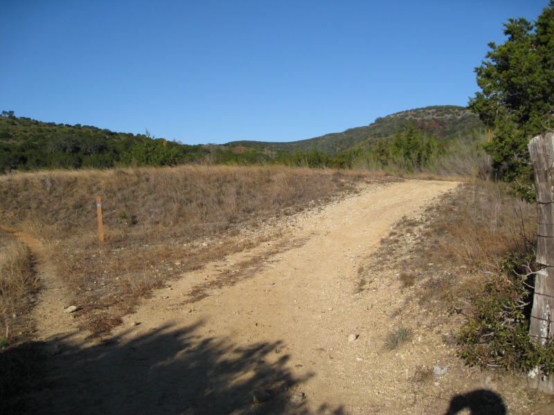
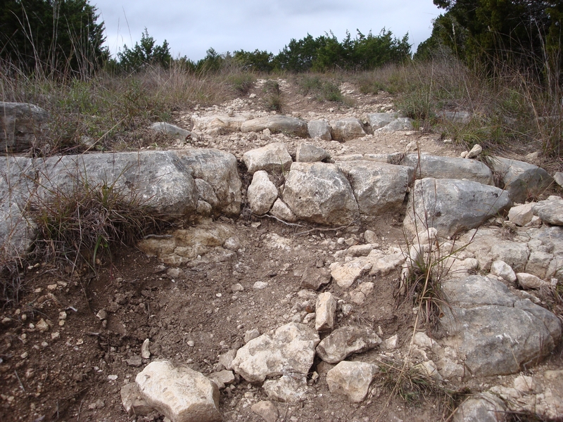
The creek bottoms and rocky hills of the Hill Country State Natural Area offer an awesome array of challenges for cyclists, with some rough going and lung-pumping climbs. ~TPWD
unavailable
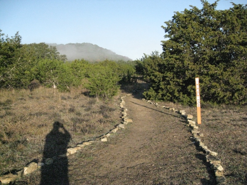
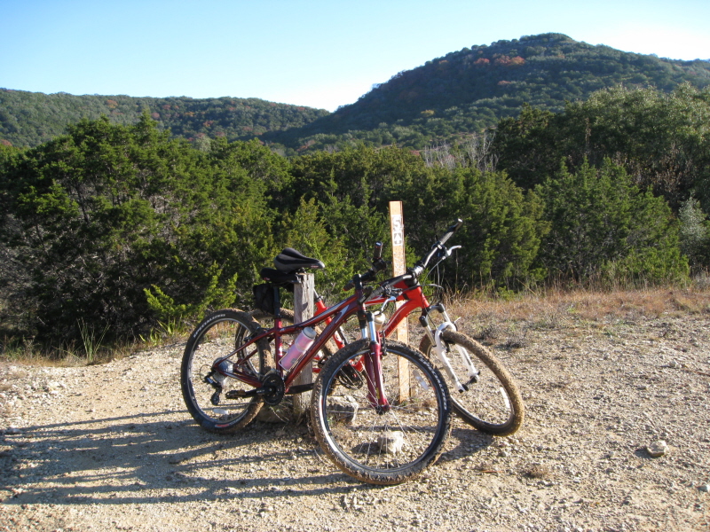
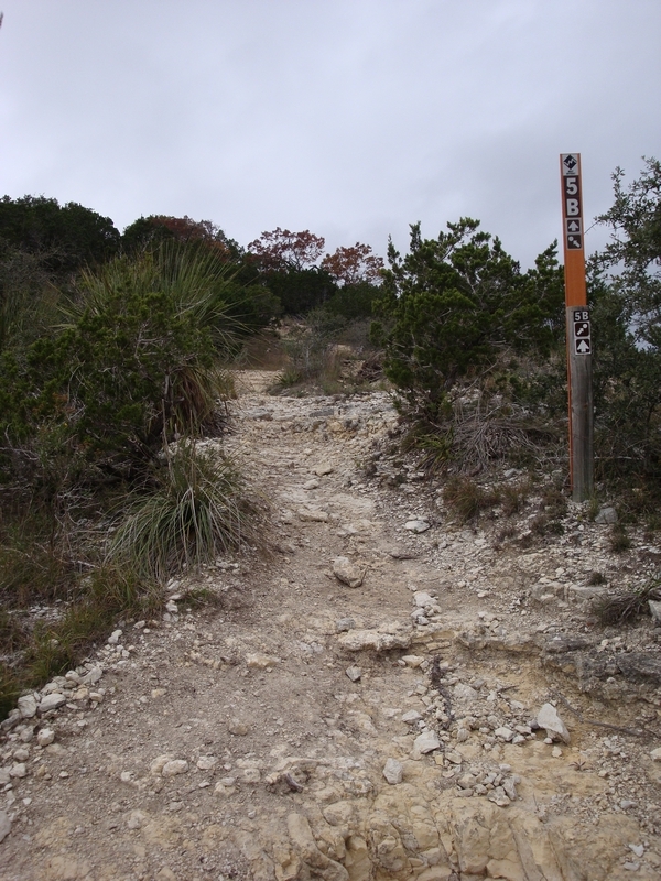
Get your pass and map
at the HQs and park at the Trailhead Equestrian Camp Area. From there
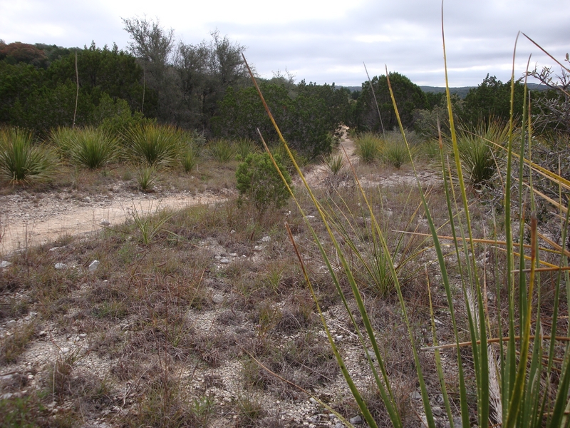
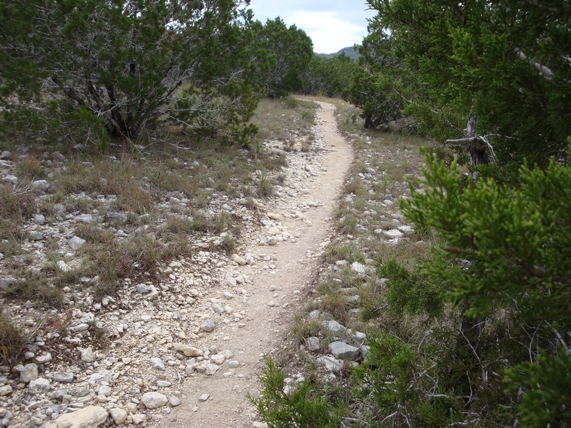
even beginners won't have much problem on Wilderness Trail (1), but
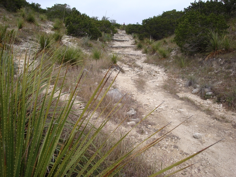
as you get closer to Ice Cream Hill leave it to those with more experience
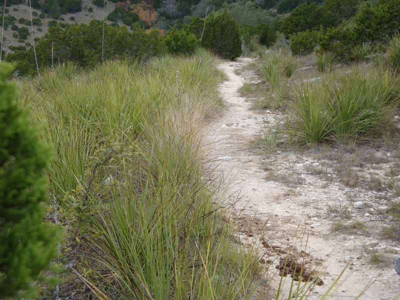
as the terrain gets a bit more rocky and loose. Many spots on Spring
Branch & Spring Run (6 & 6a) will require you to carry your bike, but
that's part of MTBin'. The multiple low water crossings are fun and
the trails over-all are a nice challenge for all levels.
~ MountainBikeTx.com