MountainBikeTx.com
Colorado Bend State Park
San Saba, TX
Click here for help on how to read this trail guide
Directions:
Length:
Technical Level:
Trail Type:
Configuration:
Trail Map(s):
Fee:
Trails:
Amenities:
Links:
Contact:
Comments:
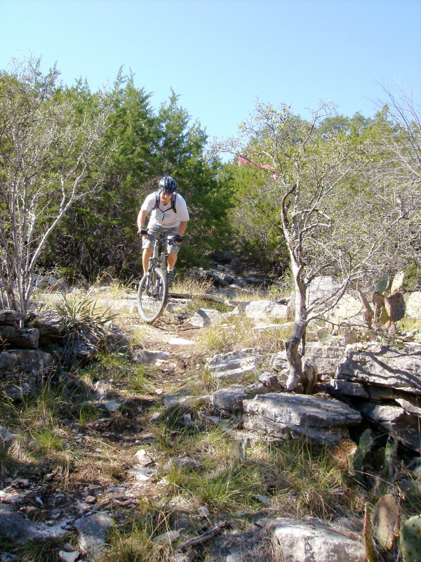
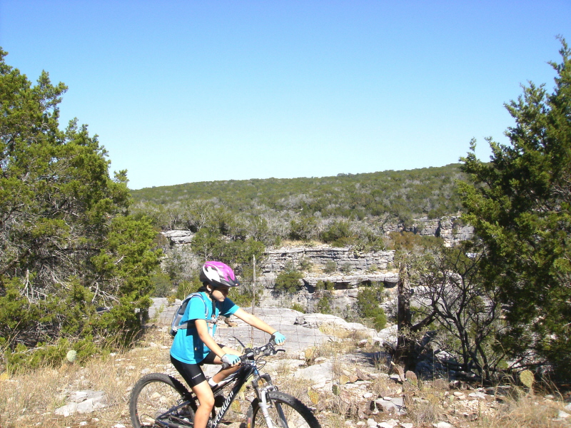
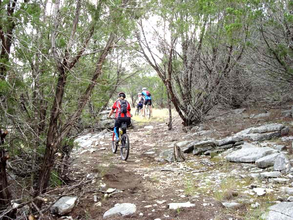
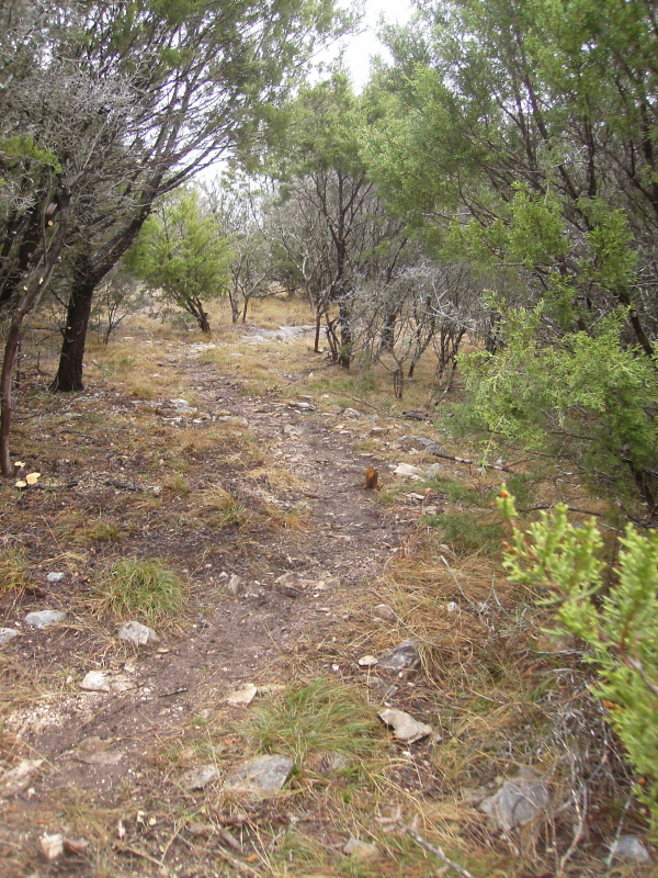
Photos:
Video:
Trail Review:
~30 miles
2-3
singletrack; doubletrack
network
$4 per person 13 and older/day use (annual pass available for $70)
Cedar Chopper Loop | Dogleg Canyon Trail | Heller Brakes Trail | Lemon Ridge Pass | Lively Loop | Old Gorman Road Trail | River Trail | Spicewood Canyon Trail | Tie Slide Trail | Tinaja Trail | Windmill Trail
• Drive-up campsites (incl. picnic
tables, fire rings w/ grills, lantern post and potable water)
• Riverbank tent sites (incl. the above)
• Primitive camping areas (x2)
• Group areas (x2)
• Composting toilets
TPWD website |
Colorado Bend SP Trail Project
Friends of Colorado Bend State Park
(325) 628-3240
see Trail Review
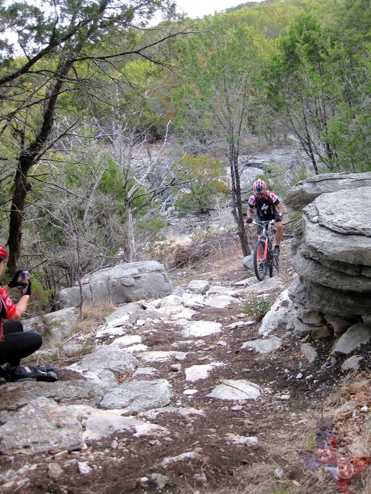

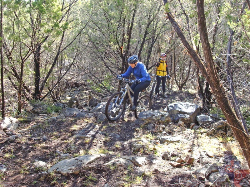
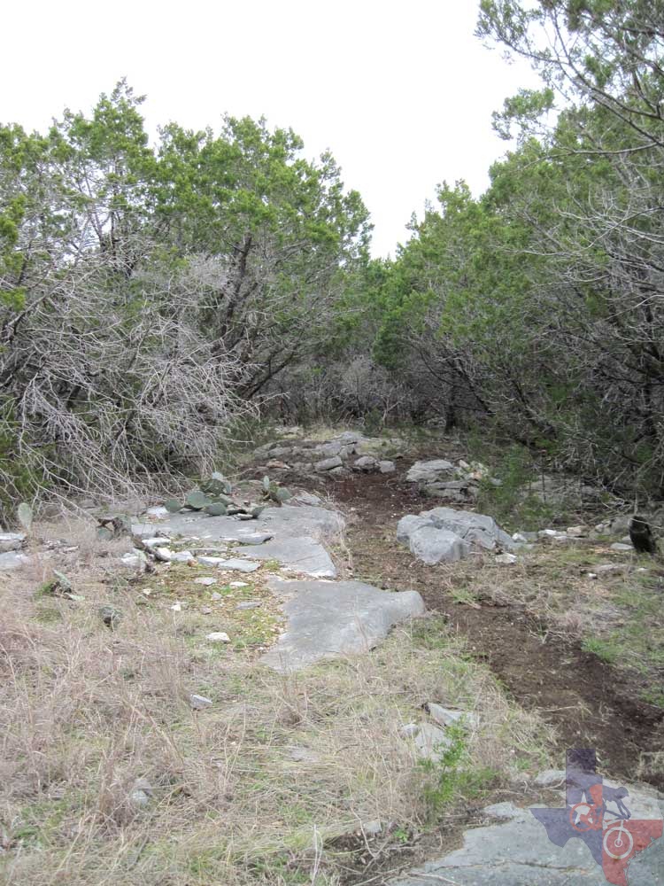
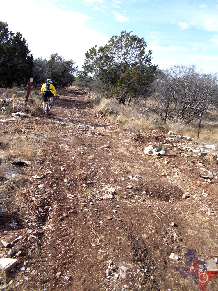
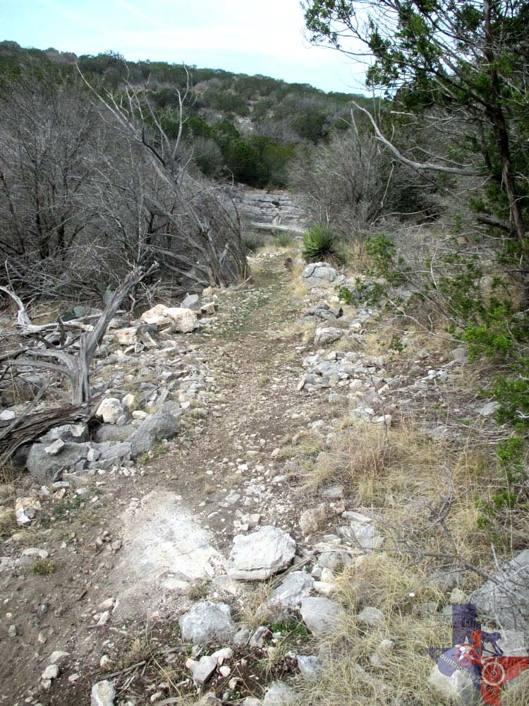
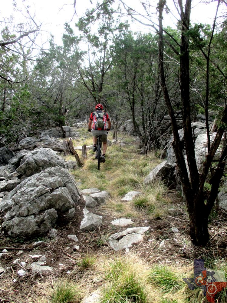
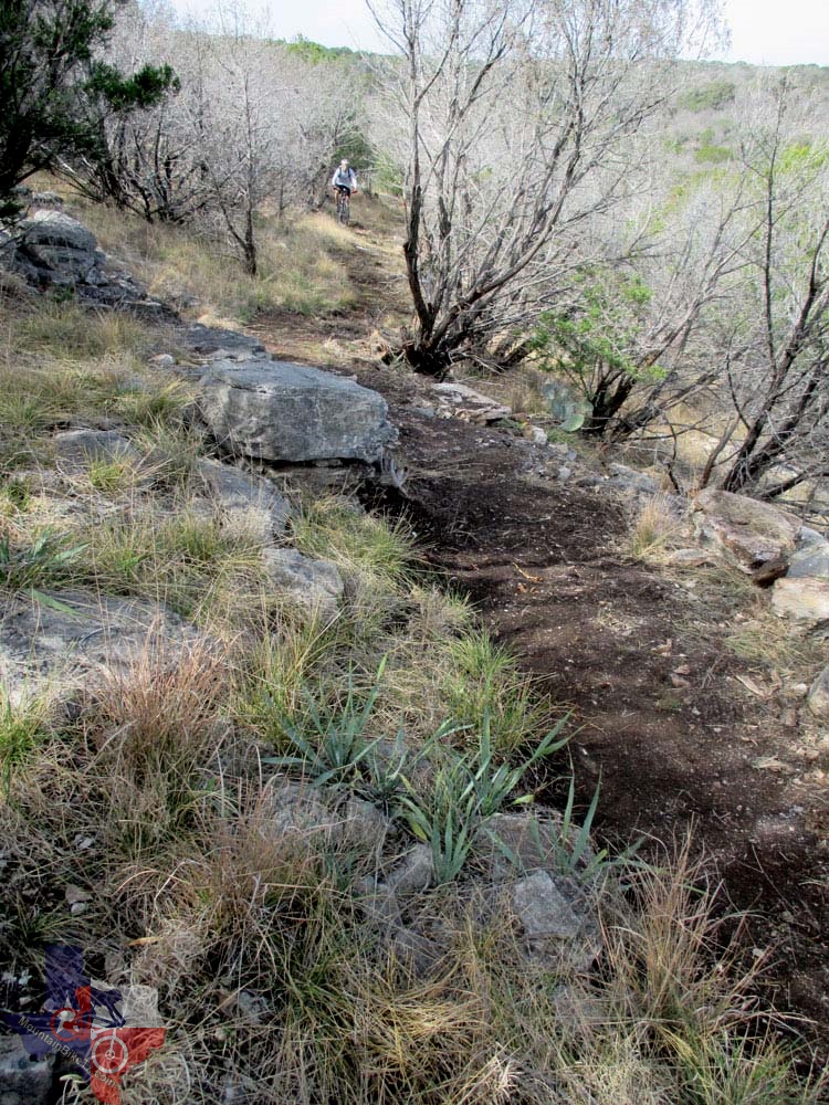

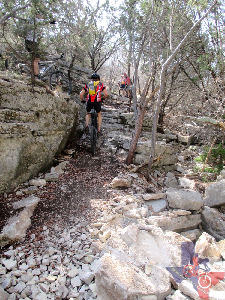
• Most technical:
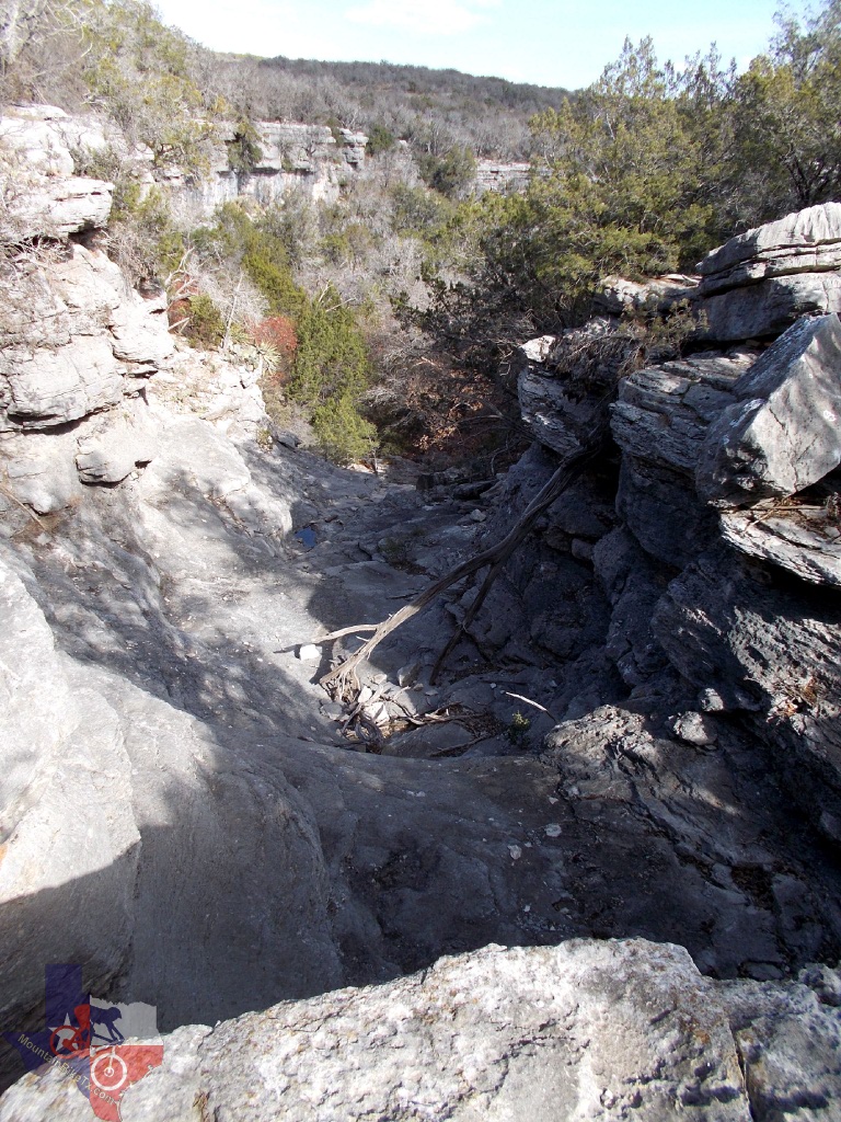
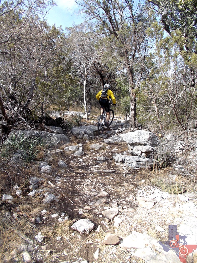
The trail from the gate to where you have to get off and walk to Gorman
Falls. Parts of it are verrrrrry rocky. If you can ride it, you're good!
Try not to fall into the cactus! An alternate (longer) trail that parallels
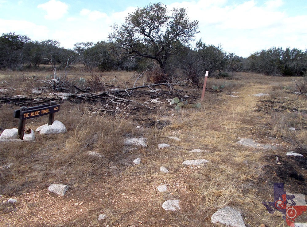
Gorman Falls Trail is to take Heller Brakes Trail to Tie Slide Trail
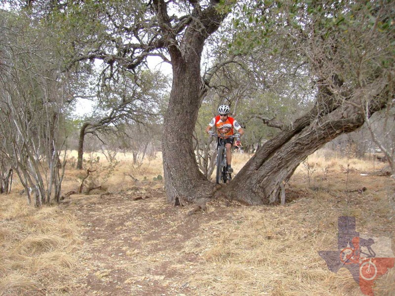
and eventually intersect Gorman Falls Trail. Tie Slide Trail has some
really fun stuff on it, like the V-Tree, where you get to ride through
the middle of a big oak tree.
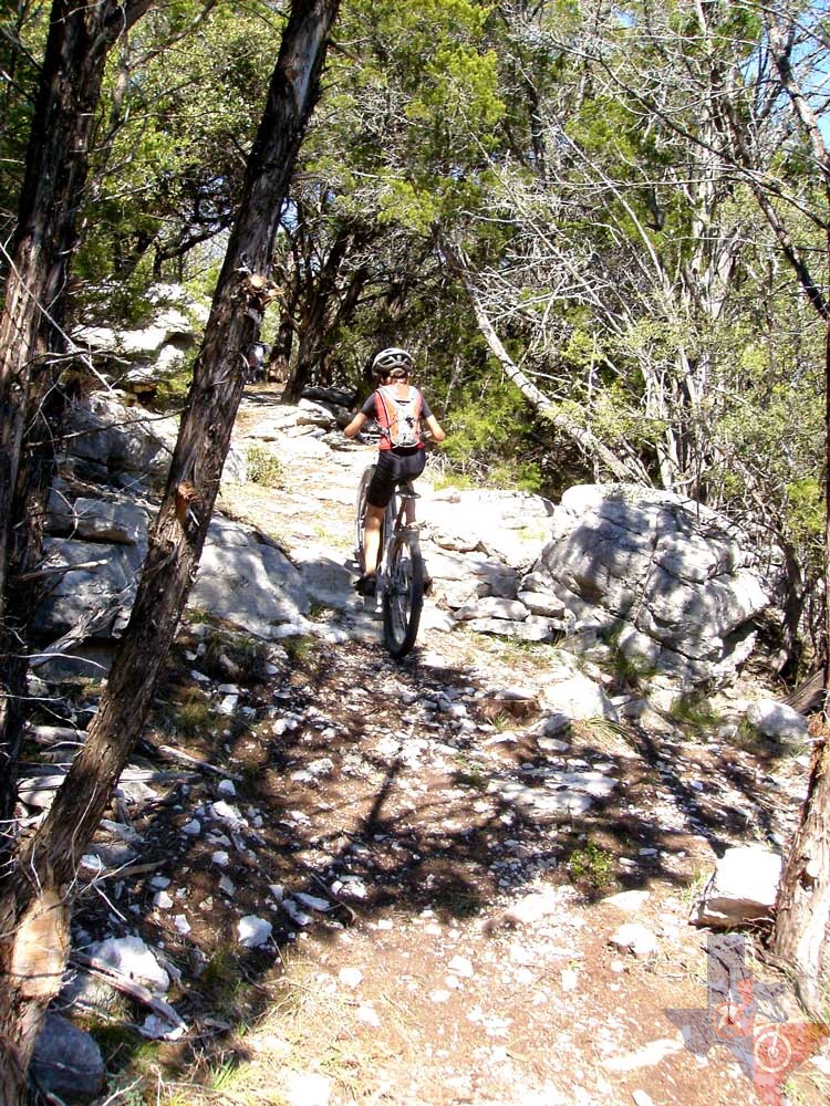
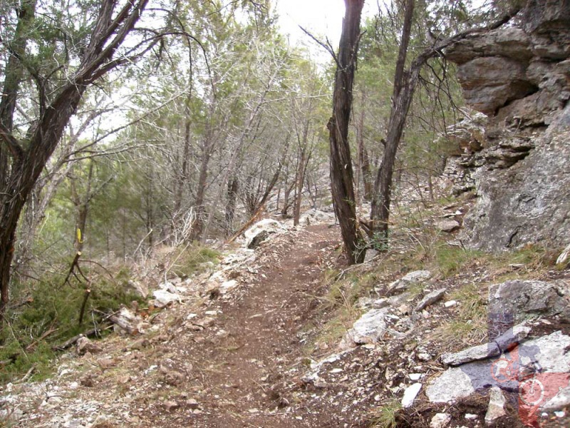
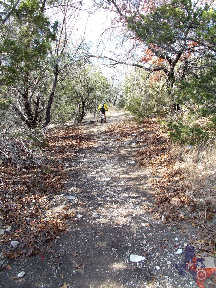
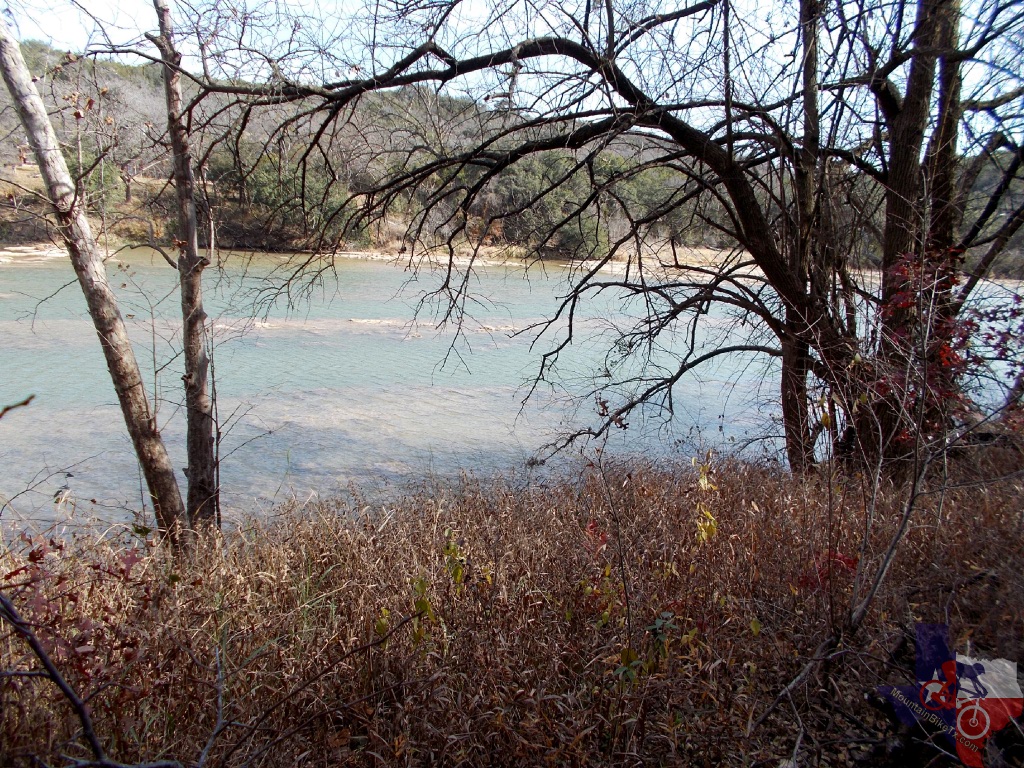
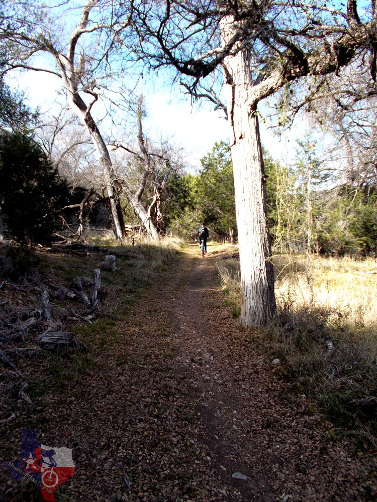
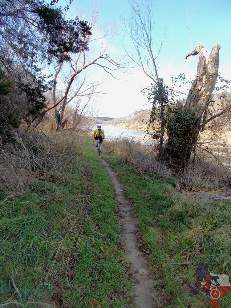
• Most beginner-friendly: The River Trail is very scenic
and goes along the river from the park headquarters and is a great trail
for beginners! Experienced riders can enjoy this trail at a faster pace.
There is currently one place where almost everyone will have to get
off and walk, but it's quick and you can get right back on your bike.
Plans are in the works to fix this. There is another place farther down
the trail where you will have to carry your bike over an exposed ledge.
Real beginners will probably not get this far.
• If you love to mountain bike and camp, fish, kayak, hike, cave (tours
only), and/or swim, you will have a wonderful time at this park located
on the Colorado River! Gorman Falls Trail, Gorman Spring Trail and Spicewood
Springs Trail are for hikers only, but there are plenty of awesome miles
of trail to ride! This is an undeveloped park - no hookups or showers,
pit toilets, tent camping only, but a whole lot of fun and some awesome
scenery is to be had if you come!
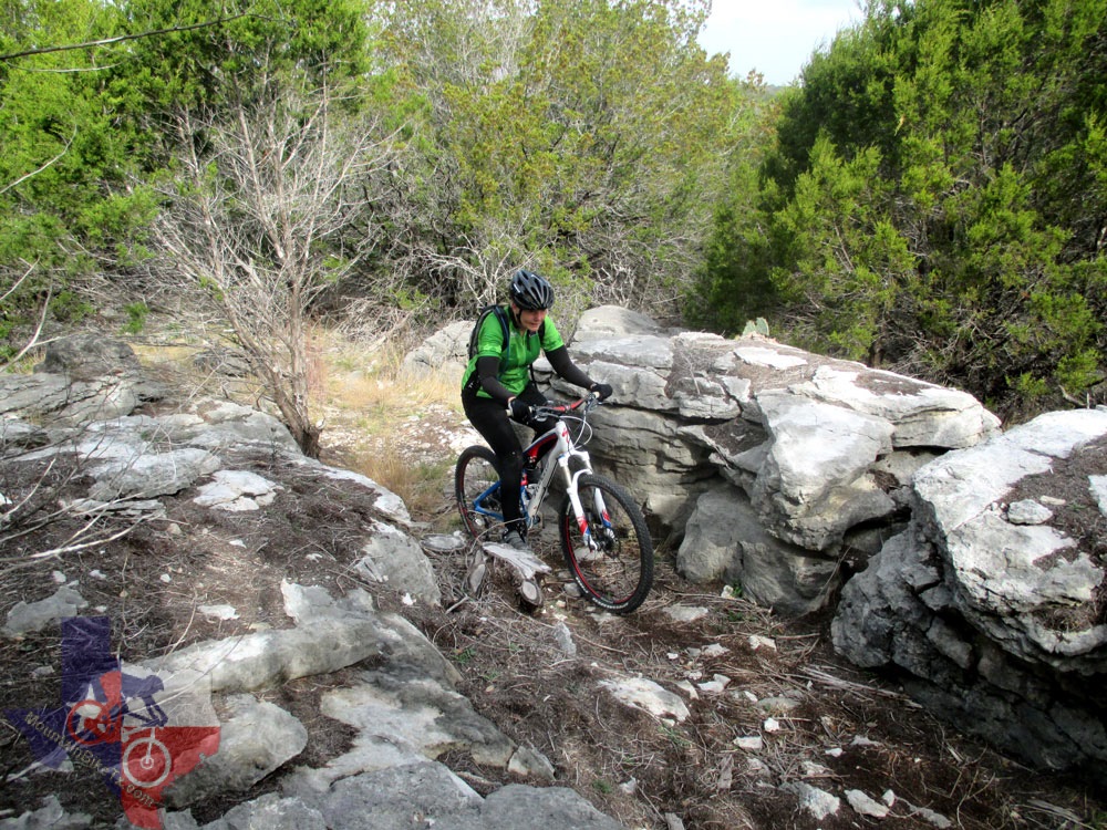
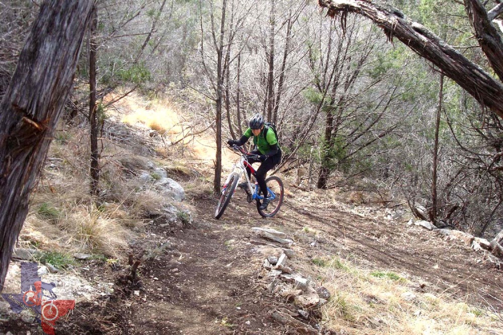
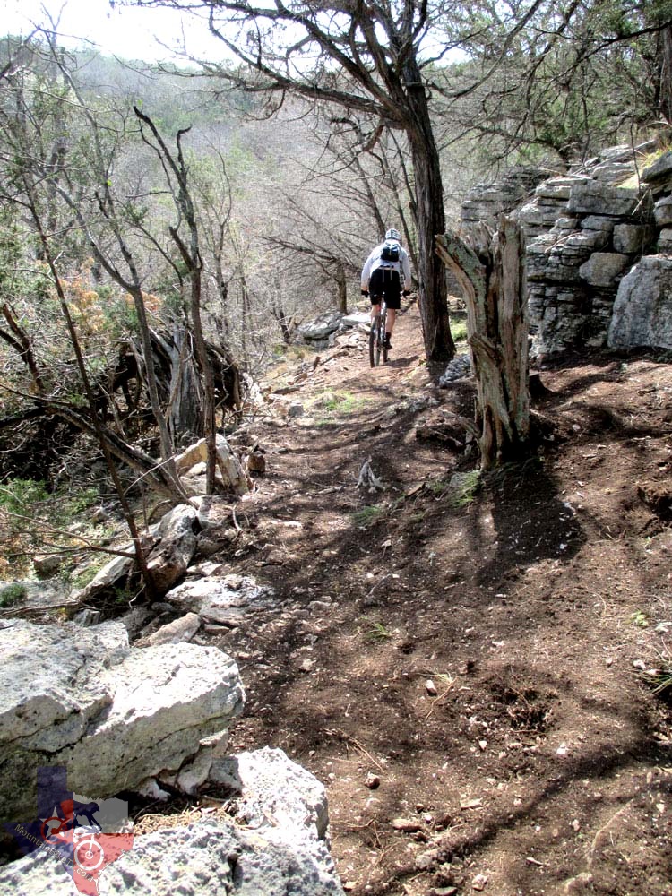
Newest Trail: Spicewood Canyon Trail. This trail runs
above the foot-traffic only Spicewood Springs Trail and has some awesome
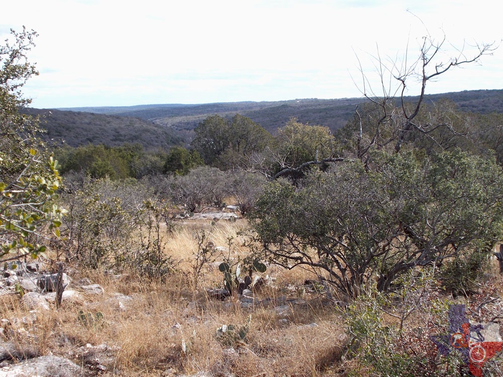
views! One of the best downhill rides in the state!
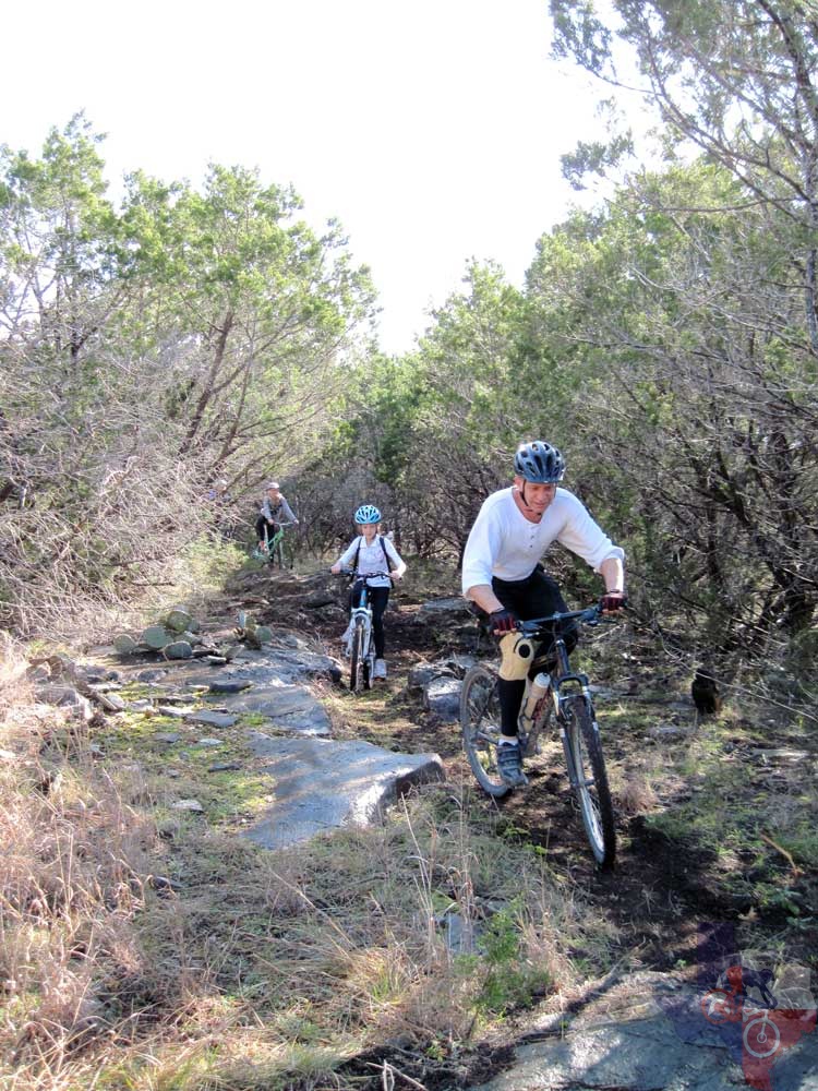
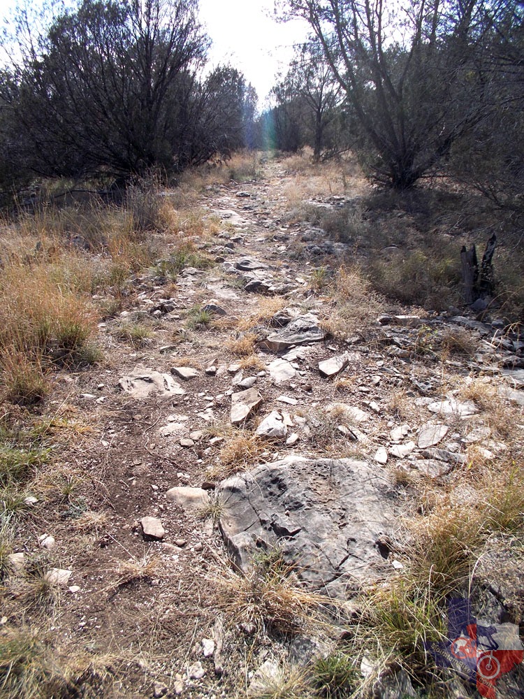
Suggested route for a 17-20 mile ride (experienced riders only):
You can start this loop from any parking area, but to make it simple,
this starts at the park office/headquarters. Take the River Trail to
Dogleg Canyon Trail. Once you intersect Cedar Chopper Loop, you can
turn either left or right. Right is shorter and more technical. Left
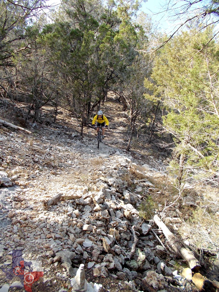
is longer and less technical. Take Old Gorman Road Trail when you intersect
it. This is a screaming downhill with some loose rock that you can take
as fast or as slow as you want and totally enjoy it! Turn left at the
bottom, cross the creek to the left of the white building (conference
center) and you will be in a parking area. The trail to the left (Gorman
Spring Trail) is foot traffic only. To continue riding, take the road
out of the parking lot and go up the hill until you see the right turn
(about halfway up). Take the turn and in a few feet take the left turn
on the Gorman Falls Bypass Trail. (Straight is foot traffic only.)
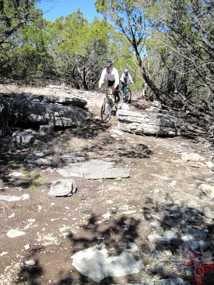
Once you intersect the next trail (Gorman Falls Trail), you can take a right
if you want to see Gorman Falls (Foot traffic only when you come to
the next intersection - leave your bike and take a left) or you can
take a right to continue the loop. When you come to Tie Slide Trail,
you can take the right to make your ride longer and ride through the
Oak Tree (known as the V-Tree) or you can stay on Gorman Falls trail
to the parking lot.
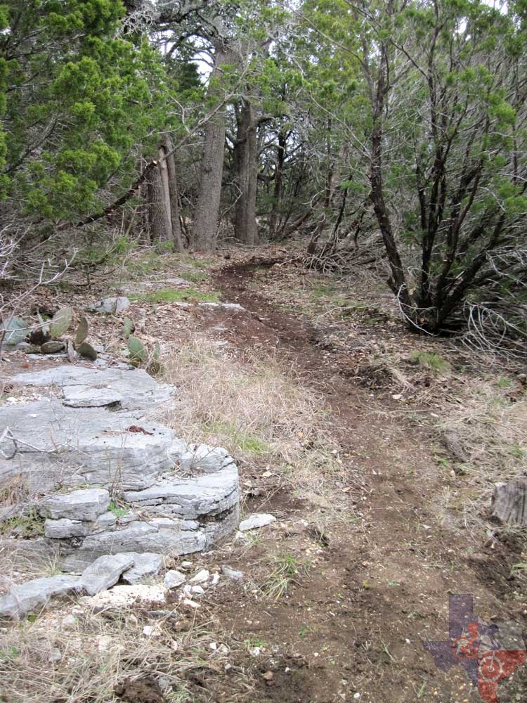
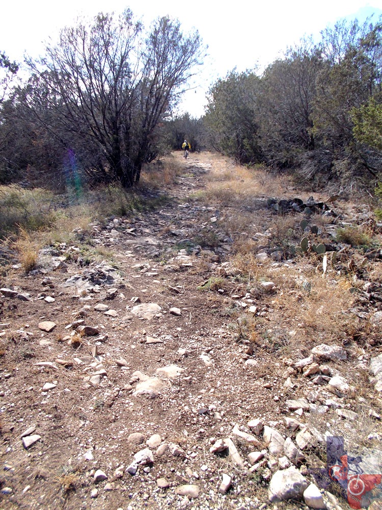
If you take Tie Slide, stay along the fence on the road until you see single
track on the right. Take the right and go through the V-Tree or go around
it, if you prefer. Take a right when you intersect Heller Brakes and
ride to the parking lot/gate area. Across the parking lot is the connector
trail to the Windmill area. You will cross the park road and once you
come to the next intersection, take the park road straight ahead. Follow
it until you come to Lemons Ridge Pass. This is a very fun trail that
parallels the road and was built so that hikers and bikers wouldn't
have to eat the dust of the cars on the road.
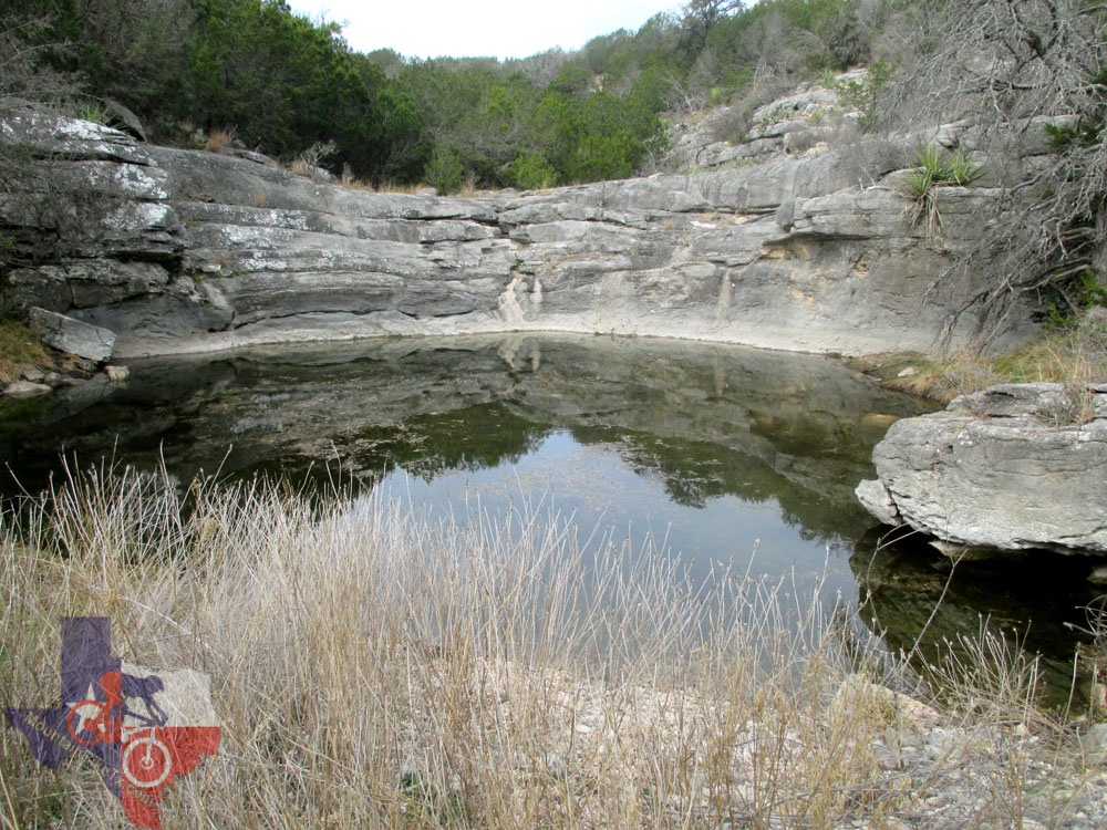
When you get to the intersection of Lemons Ridge Pass and Spicewood Trail,
cross the park road and take Spicewood. You will come to the intersection
of Spicewood Canyon and Spicewood Springs trails. Take Spicewood Canyon
Trail as Spicewood Springs Trail is foot traffic only. According to
one rider, this is one of the most fun downhills in Texas! There are
several very nice overlooks into Spicewood Springs. Don't forget to
stop and check them out!
Once you get to the bottom, take a left and head back to the park office.
If you are not up to a long, hill country mountain bike ride with significant
climbing, you can choose any of the trails and do them one at a time.
Be sure to carry plenty of water! Self-sealing tubes are highly recommended
as there are plenty of cacti.
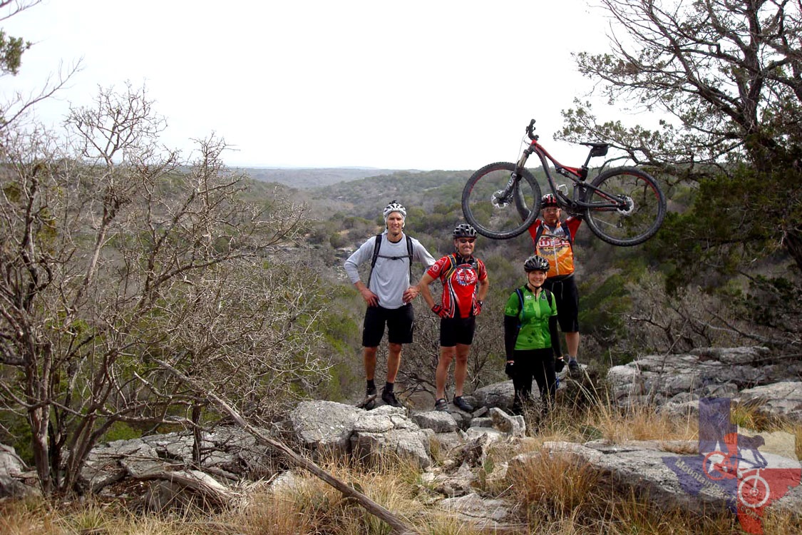
This is a GREAT place to ride a mountain bike!
~ Dawn, WBC (March 2012)
Added January 2013:
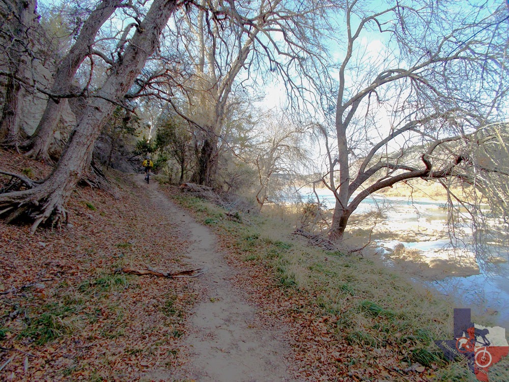
The first part of the River Trail is good for beginners; even a total beginner
wouldn't have to walk much. You will have to walk over Gorman Cave entrance,
however, which is quite exposed, but after that there are a few semi-technical
parts that can be easily walked. The trail is about 3 miles long (one
way). A good ride for children and beginners is from the park office
to the cave, then turn around and go back.
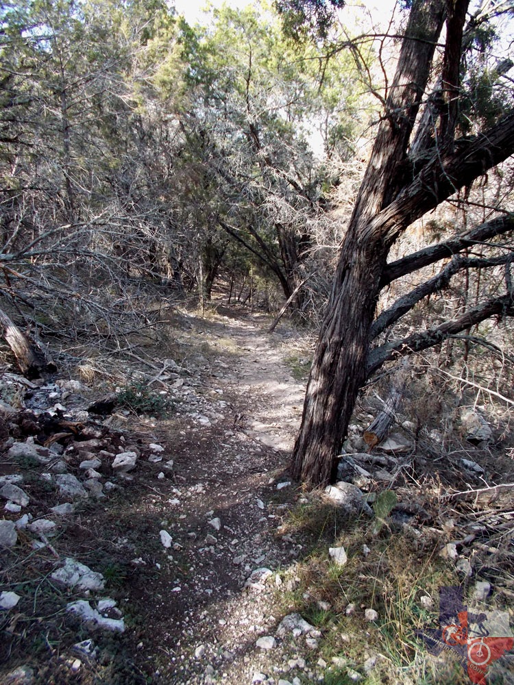
Dog Leg Canyon Trail is for more experienced riders. It has some technical
switchbacks (kudos if you can make them all!) and trends uphill for
around a mile. It has some very nice views for those who want to stop
and take in the scenery.
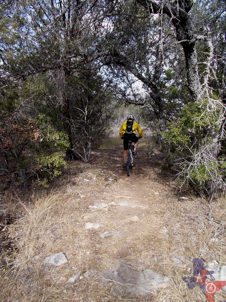
Tie Slide Trail is off of Gorman Falls Trail. It's a fun singletrack stretch
with some easy and some challenging parts. It's about two miles long
and also has some very nice views.
~ Dawn, WBC (January 2013)