MountainBikeTx.com
The Canyonlands
Lakeway, TX
Click here for help on how to read this trail guide
Directions:
Length:
Technical Level:
Trail Type:
Configuration:
Trail Map(s):
Fee:
Trails:
Amenities:
Links:
Contact:
Comments:
Photos:
Video:
Trail Review:
3+ miles
3
singletrack
loops
City of Lakeway | GPS/Google (.kml)
none
Canyon Descent Trail | Rim Trail | Upper & Lower Canyon Trails
none
(512) 314-7500
unavailable
You might not have been
aware that the city of Lakeway has established mountain bike trails,
but if you find yourself in the area, you might want to make yourself
aware. The Canyonlands are one of those trail systems that you hear
little about, if at all, but once you have experienced it, you can’t
figure out why it isn’t more well-known.
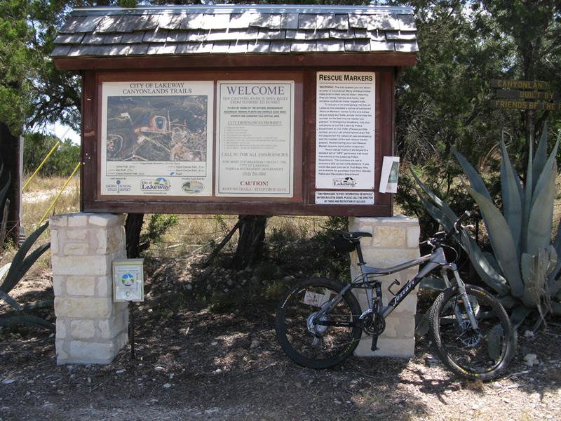
When you arrive, park at the pool across the street from the trailhead, then
follow the rock-lined trail that leads across the street to the kiosk
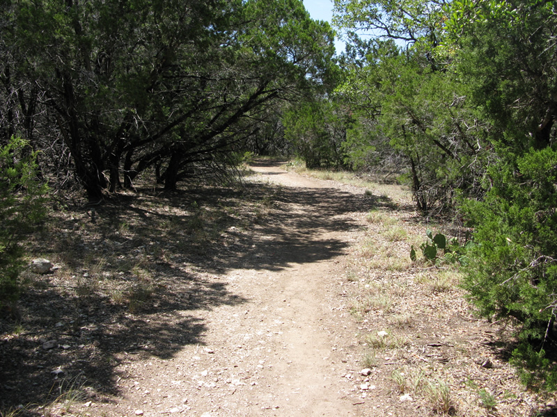
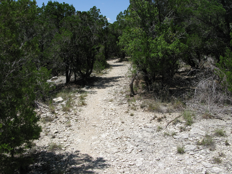
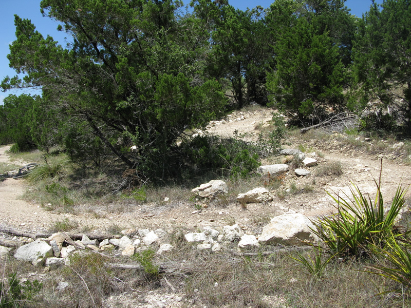
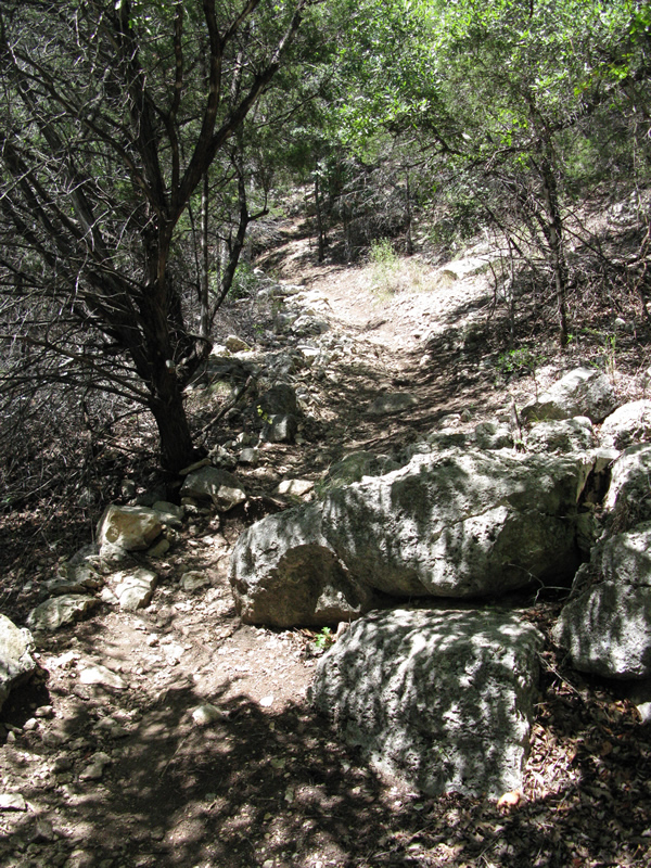
at the trailhead and head on up the trail to the right. The first half
mile or so is rather uneventful, albeit a little rocky, but provides
the opportunity to get warmed up before hitting the better sections
down around the canyon. Although uneventful, there are a few little
drops and switchbacks along the way to keep you interested.
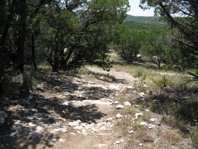
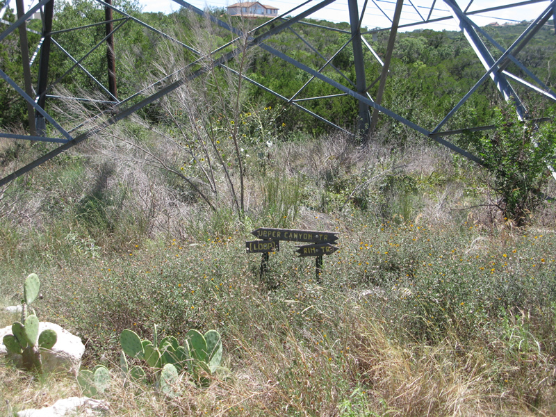
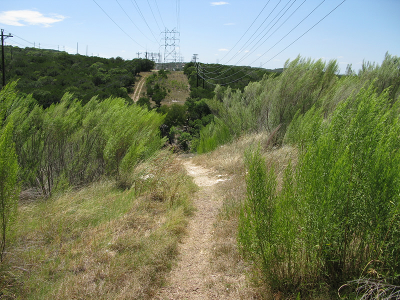
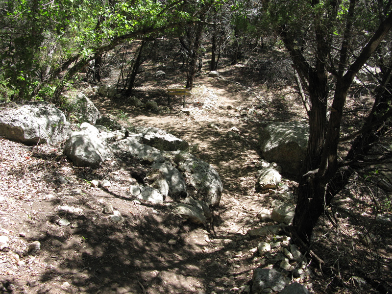
As you approach one of the powerline towers you will have a choice: left
to the Upper Canyon Trail or right to the Rim Trail (and all others).
I’d recommend going ahead and hitting the Upper Canyon Trail at the
beginning, as it’s a nice, short loop. Once you have got that under
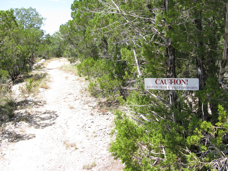
your belt head towards the Rim Trail on down through the ‘S’ curve that
places you along the canyon edge (please note and heed the caution signs).
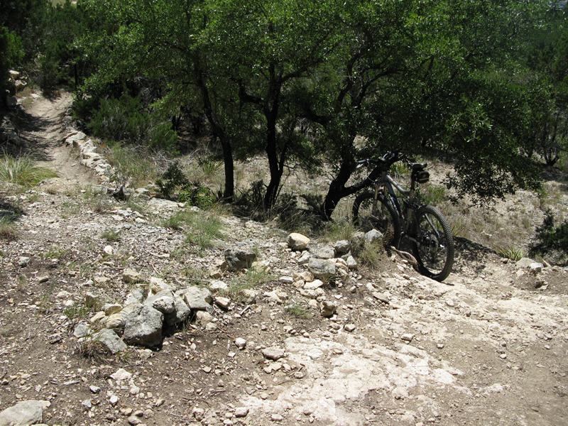
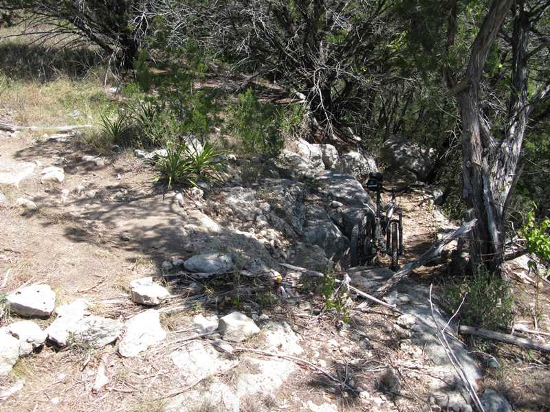
When you reach the 4-way intersection you can either continue along
the Rim Trail or descend along Canyon Descent Trail – your choice. Regardless
of where you decide to hit Canyon Descent Trail, at this point or on
the other side of the canyon, be prepared for a fast descent.
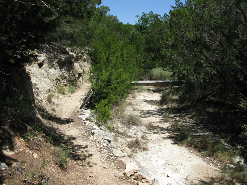
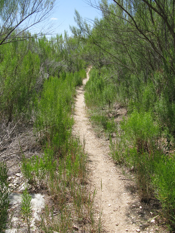
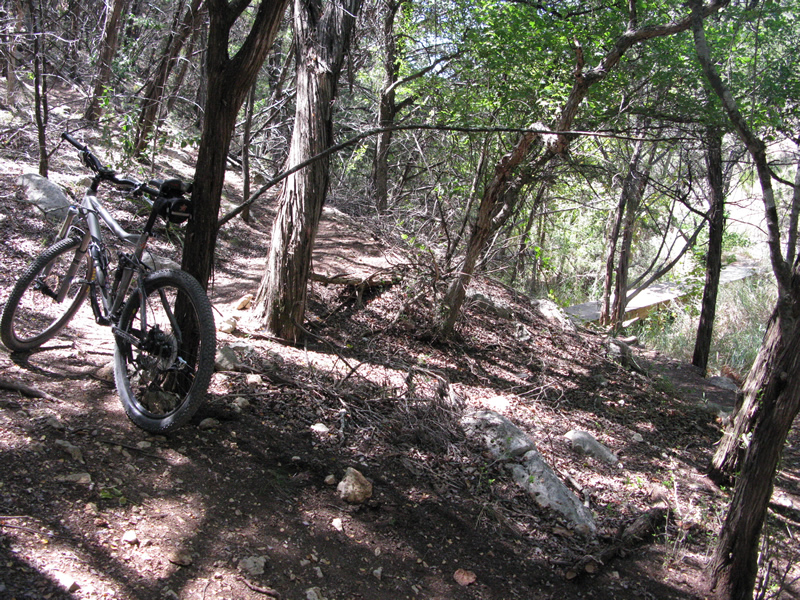
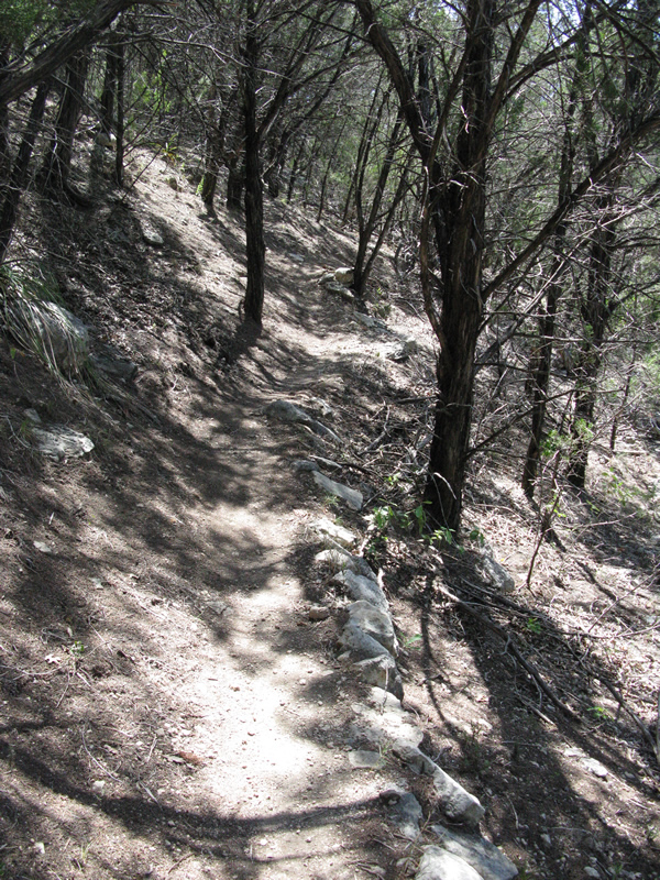
Down in the canyon you can pick up the Lower Canyon Trail which offers some
nice, well-shaded singletrack laid out in manner to keep it fun; winding
through trees with moderate elevation changes here and there. You will
also find yourself riding along somewhat off-camber sections, crossing
a bridge or two, hitting switchbacks, and simply enjoying what The Canyonlands
have to offer. Go whichever way you wish. No matter what, I think you
will be pleasantly surprised and wish you had ridden here sooner.
~ MountainBikeTx.com(Aug 2009)