MountainBikeTx.com
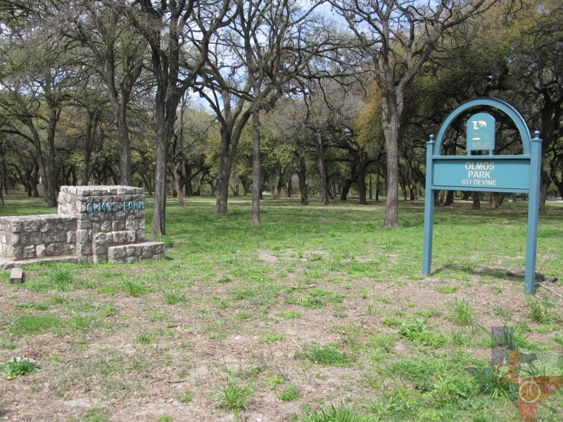
Olmos Park
San Antonio, TX
Click here for help on how to read this trail guide
Directions:
Length:
Technical Level:
Trail Type:
Configuration:
Trail Map(s):
Fee:
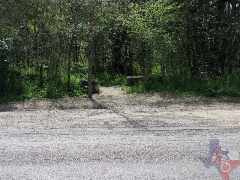
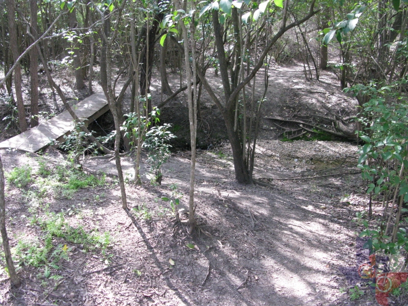
Trails:
Amenities:
Links:
Contact:
Comments:
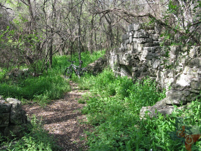
Photos:
Video:
Trail Review:
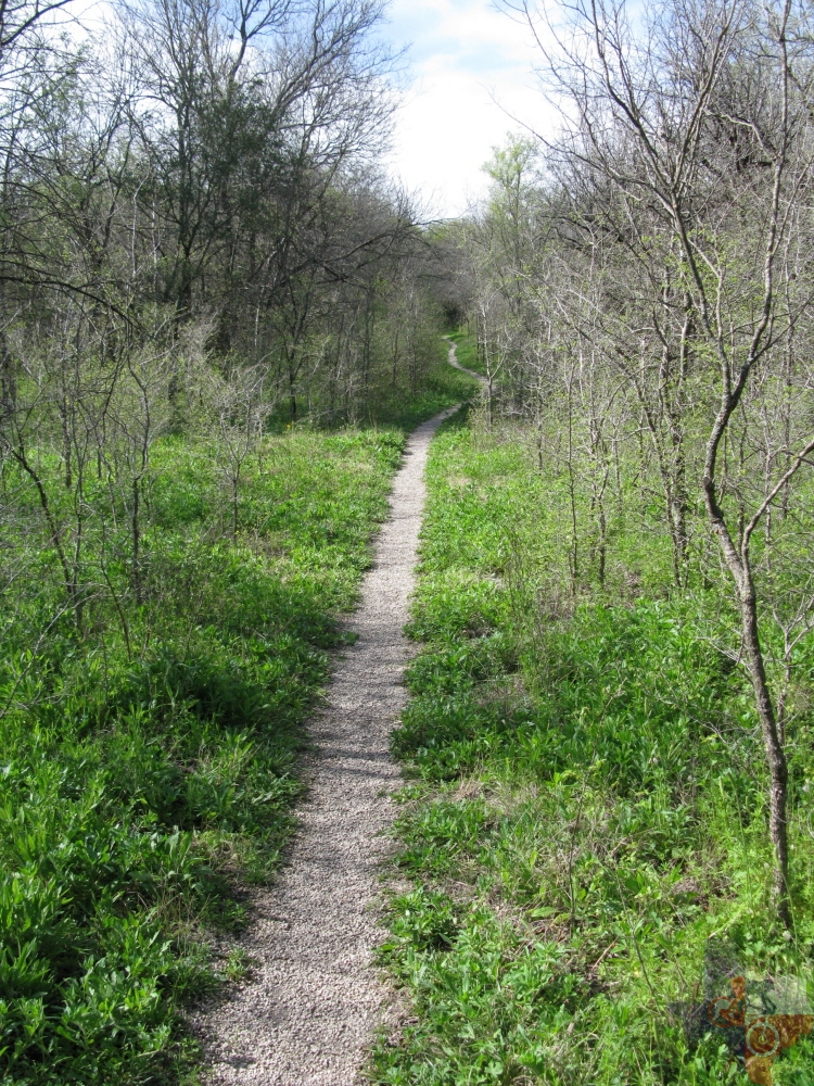
3.5+ miles
2+
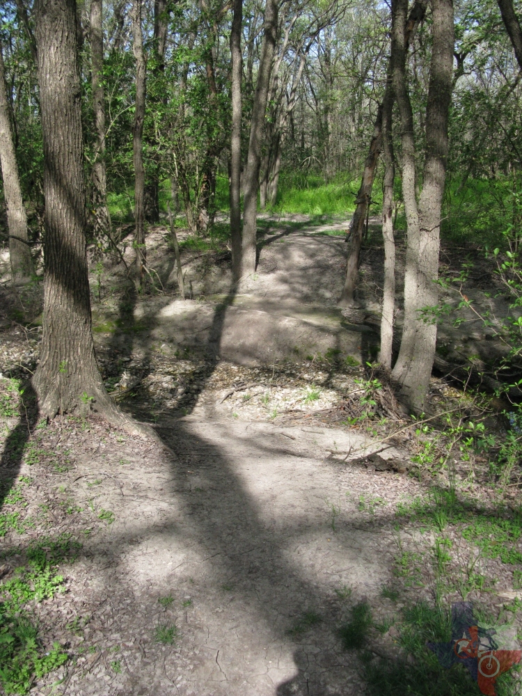
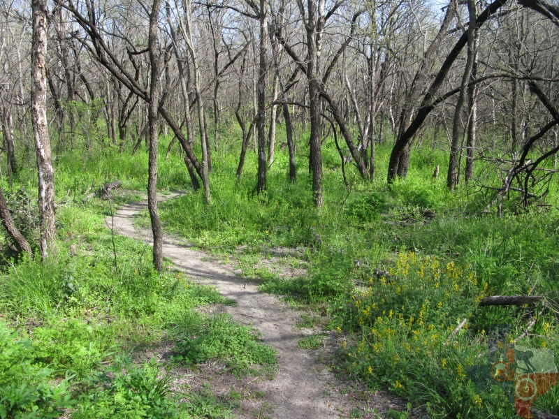
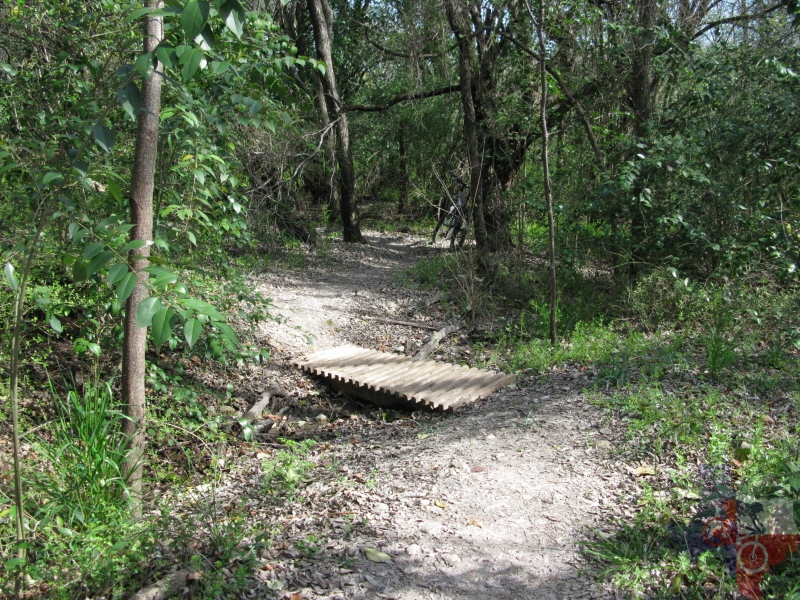
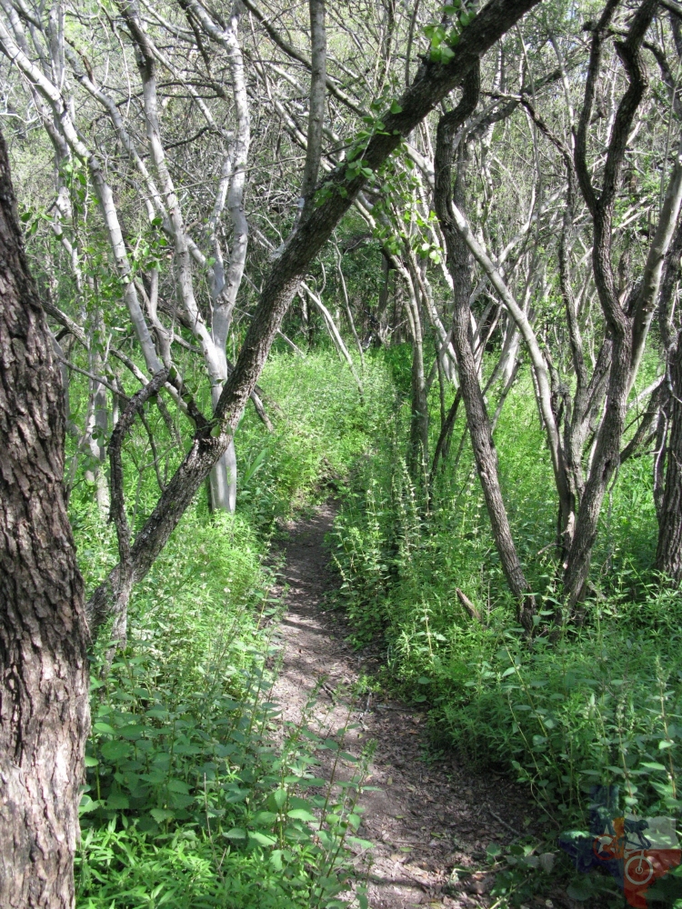
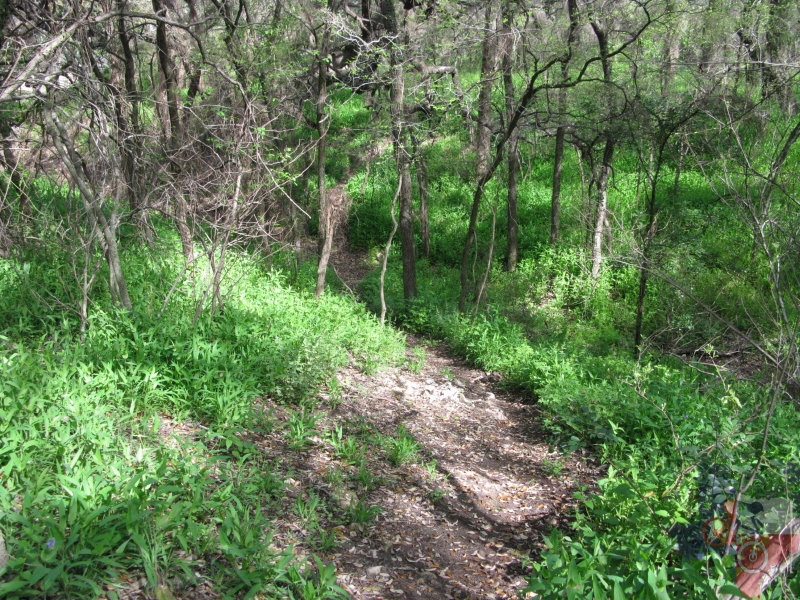
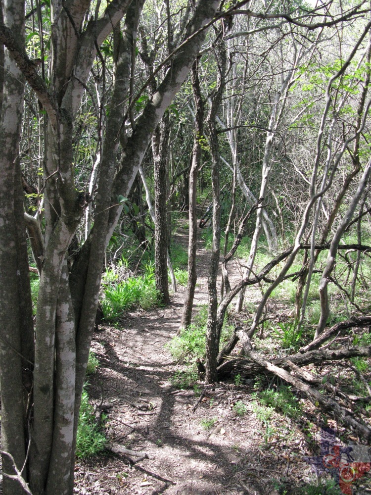
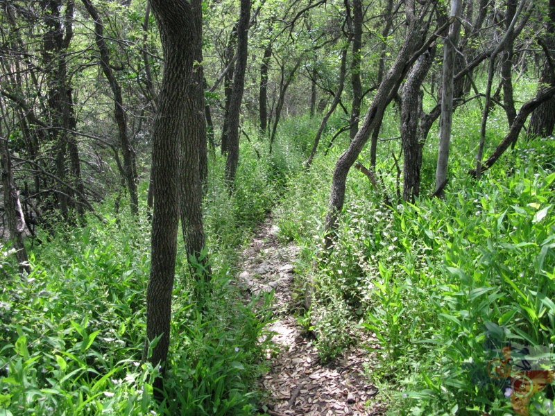
singletrack
network
City of San Antonio | GPS/Google (.kml) | .gpx file
none
n/a
ŌĆó Restrooms
ŌĆó 24 picnic units
ŌĆó Playground
ŌĆó Softball field
ŌĆó 4 soccer fields
(210) 207-7275
ŌĆó The City of San Antonio map
does not account for the single track as noted in the GPS/Google (.kml)
track
ŌĆó During the spring, due to vegetation growth, it is highly encouraged
to cover your shins to avoid plants that sting.

unavailable
unavailable