MountainBikeTx.com
McAllister Park
San Antonio, TX
Click here for help on how to read this trail guide
Directions:
Length:
Technical Level:
Trail Type:
Configuration:
Trail Map(s):
Fee:
Trails:
Amenities:
Links:
Contact:
Comments:
Photos:
Video:
Trail Review:
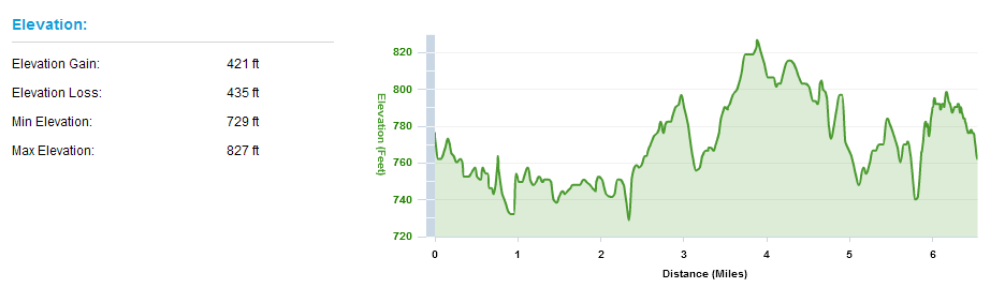
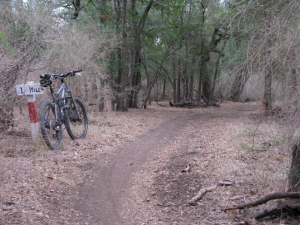
6+ miles
1-3
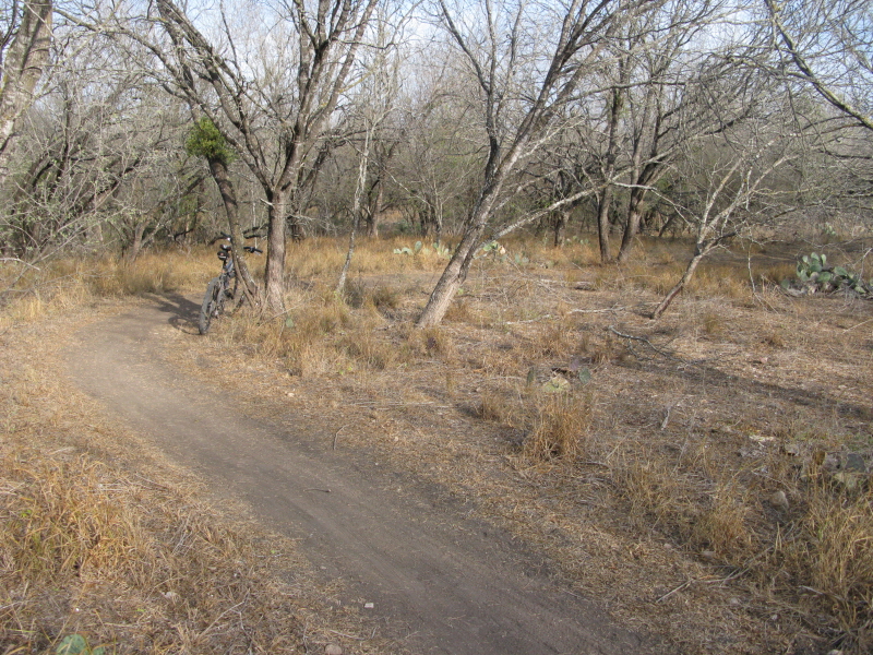
singletrack; doubletrack; paved
single loop with two routes; numerous rogue trails
City of San Antonio |
GPS/Google (.kml) |
GPS/Google (.kmz)
Elevation Profile
none
Red | Blue
ŌĆó Restrooms
ŌĆó Playgrounds
ŌĆó Pavilions
ŌĆó 156 picnic units
ŌĆó Baseball and soccer fields
ŌĆó Dog park
(210) 207-2879
Click here to send an email
![]()
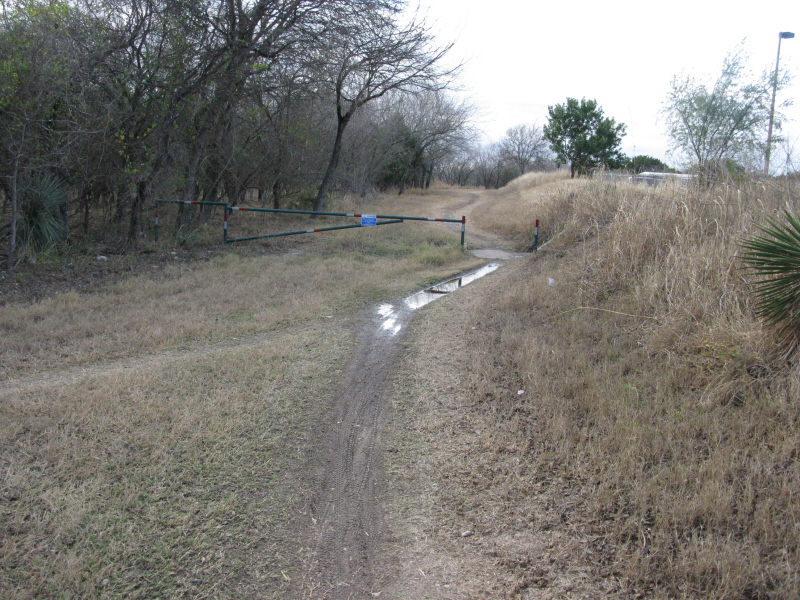
Enter off of Jones Maltsberger.
You will pass where the trailhead intersects the road before you reach
the parking lot on your left. Head back up to the intersection and turn
left on the trail. After a short ride you will have to take a small
section of paved trail to jump back on the singletrack. Once you are
back on the trail it will split; red to the left, blue to the right
(on the map, red and green respectively). Either choice works since
they come back together right before crossing Buckhorn Rd.
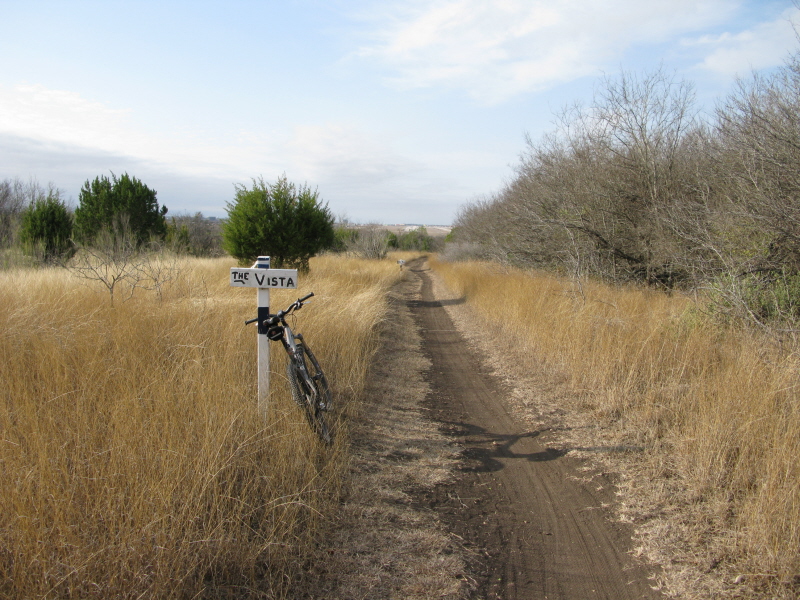
The blue (green) trail takes you past a gate along a stretch of doubletrack
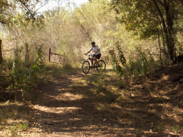
that sends you to a nice little downhill and into the woods for a little
singletrack action.
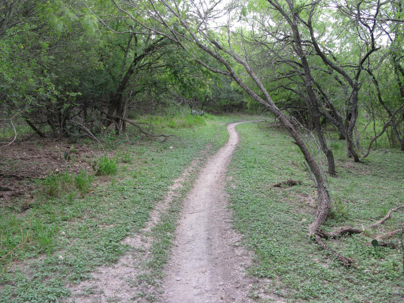
The red trail is pretty much pure singletrack and brings you passed a spot
that you can drop down and hit a few jumps if that's your thing.
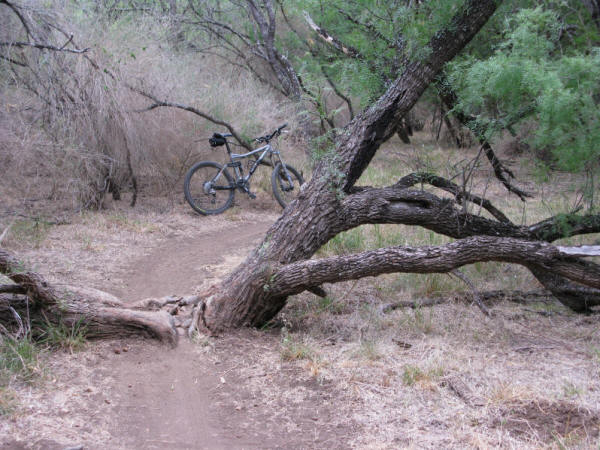
Once you cross Buckhorn it is especially important that you stay on the trail,
otherwise you might be off the trail fixing a flat. Officially, McAllister
has 9 miles of mapped trails; however, you will find numerous offshoots
that leave the total amount of trails to be anyone's guess (some say
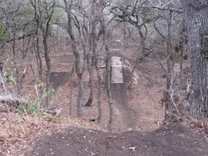
20+ miles total). For example, between the 3 and 4 mile marker you will
see a nice little double whoop-dee-do off on a trail that branches to
the left. I can't say where that trail leads, but I can say that the
double whoop-dee-do is a trip.
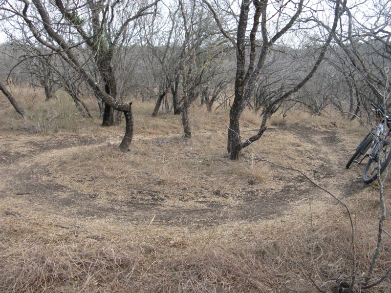
McAllister isn't exactly the most technical in the area if you stick to the
mapped loop, so it's a great place to get someone hooked on riding.
The countless rogue trails, on the other hand, are sure to satisfy your
taste for technical; namely in the form of rocky, technical sections,
moderate to large drops, tight twisting turns, and moderate to large
jumps.
~ MountainBikeTx.com(July 2009)