MountainBikeTx.com
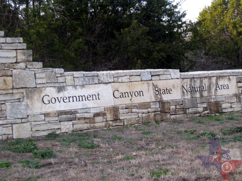
Government Canyon State Natural Area
San Antonio, TX
Click here for help on how to read this trail guide
Directions:
Length:
Technical Level:
Trail Type:
Configuration:
Trail Map(s):
Fee:
Trails:
Amenities:
Links:
Contact:
Comments:
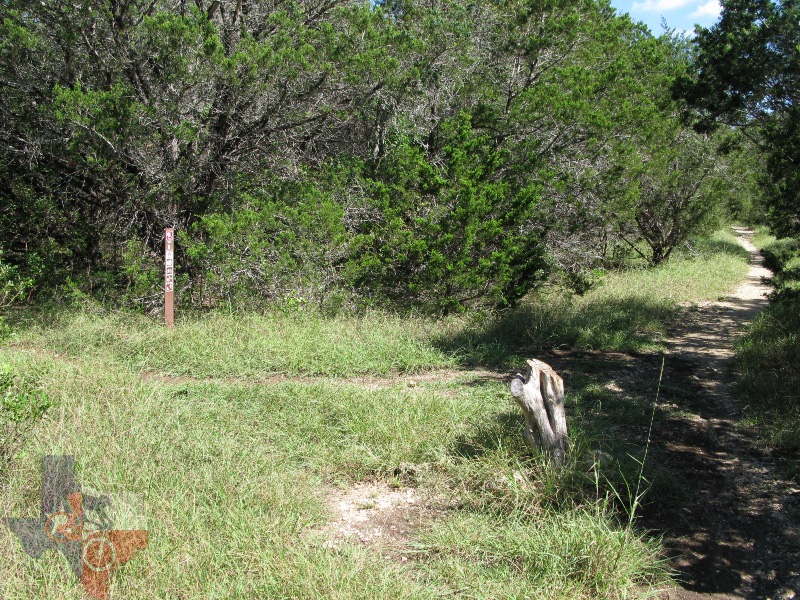
Photos:
Video:
Trail Review:
26.5 miles
2-4
singletrack; doubletrack
loops: network
$6 per person 13 and older/day use (annual pass available for $70)
Front Country:
Lytle's Loop | Savannah Loop
Back Country: Far Reaches | Joe Johnston Route | Little
Windmill
Recharge Trail | Sendero Balcones | Twin Oaks | Wildcat Canyon
• Restrooms
• Group picnic pavilion with 10 picnic sites nearby
(210) 688-9055
• Open: Friday-Monday
Closed: Tuesday-Thursday
• The front gate is open from 7 a.m. - 10 p.m.
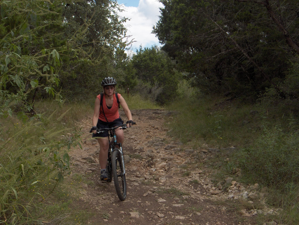
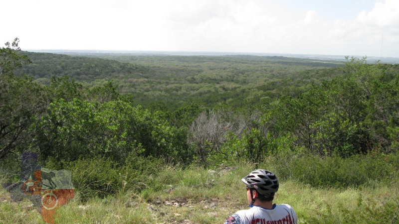
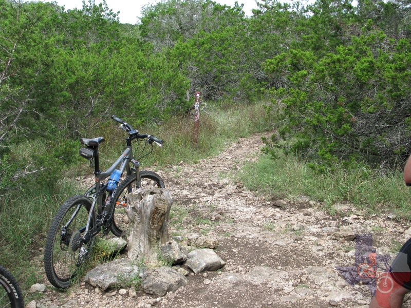
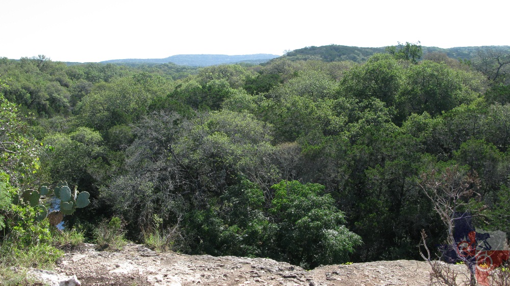
Broken down into two
distinct areas – the Front Country and Back Country - GCSNA features
a little bit of everything for everyone. The Front Country is ideally
suited for those not quite ready to face the challenges offered by the
Back Country. Though it does provide a climb or two and a few rocky
sections, it's challenging enough to improve the new rider's skill without
them wanting to call it a day. It also serves as a great warm-up ride
before hitting the Back Country trails. The Back Country is where things
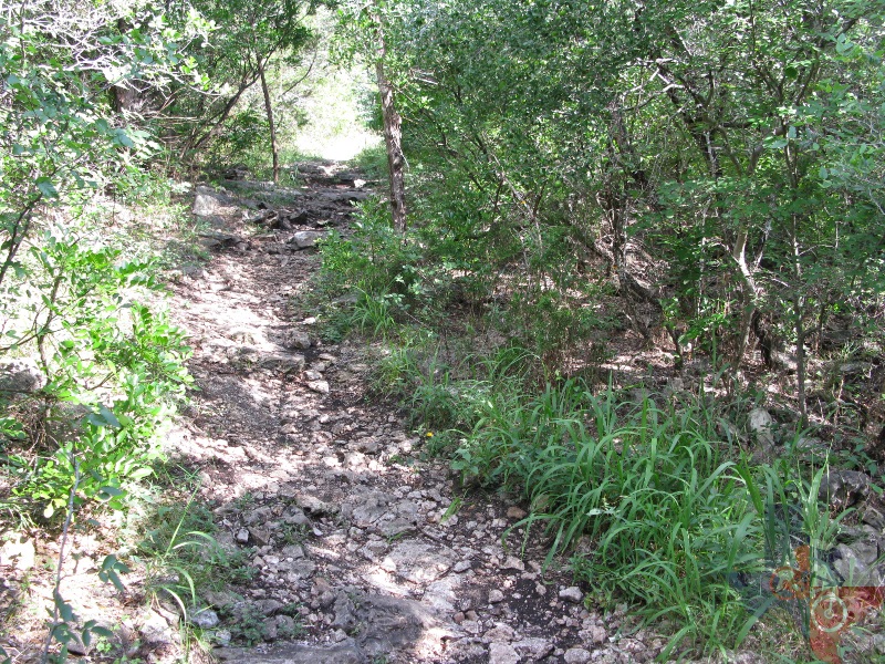
start to get challenging. Joe Johnston Route is the trail you will find
yourself on at the trailhead and makes for a decent ride in and of itself
if you choose to simply ride out and back. Even those less skilled should
be able to handle the first 3-4 miles of JJR without too much difficulty.
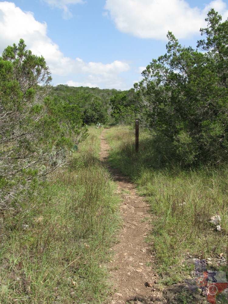
GCSNA’s trail layout allows you to be very creative in the route you
choose. With that said, I can share the following comments on the trails
I've rode thus far, and will add more when I ride the rest.
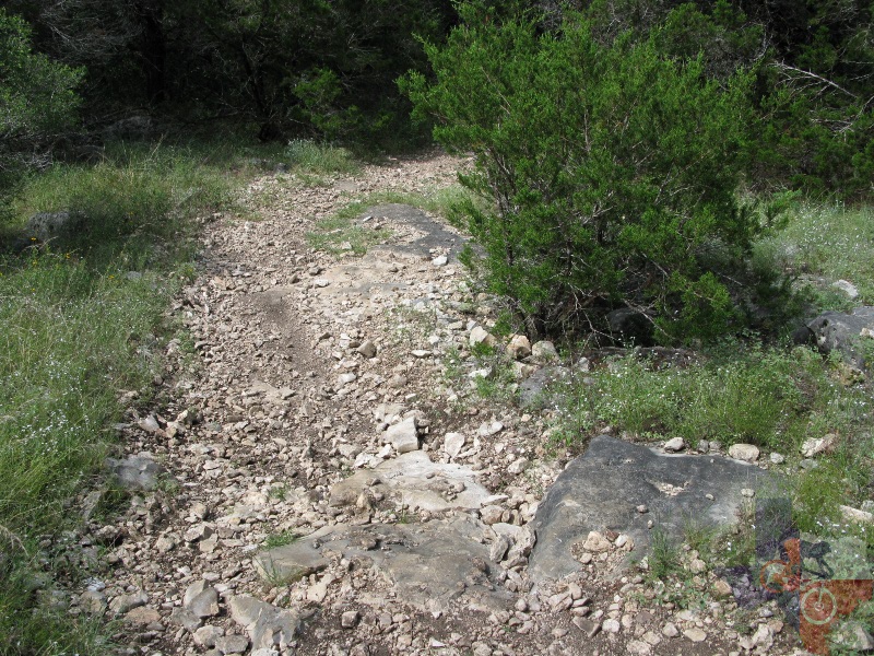
Joe Johnston Route – able to be tackled by most anyone.
Even with its occasional climbs, nothing’s too, too steep. Keep in mind,
however, that once JJR begins to turn towards the Protected Habitat
Area (around mile 4) you will face some serious rock steps/climbs. If
you choose to avoid some tough climbs or walking/carrying your bike,
head back once you reach the northern most point of JJR.
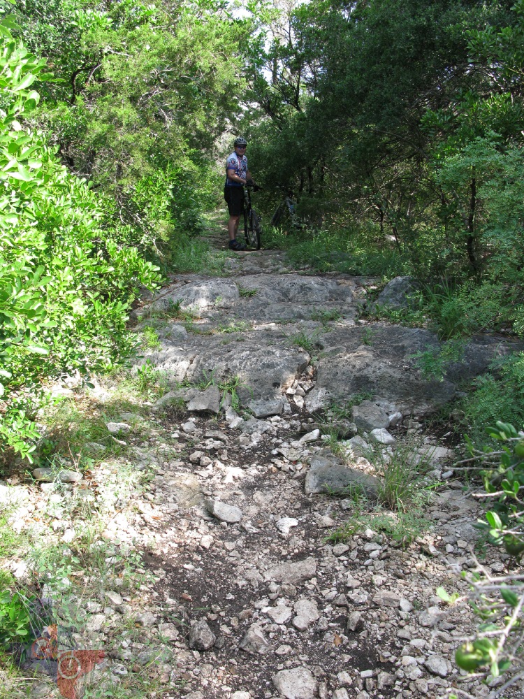
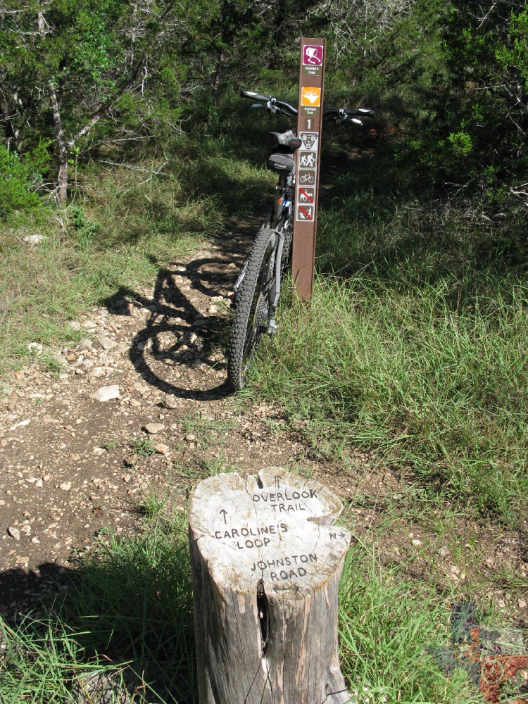
Caroline’s Loop – I recommend riding this one clockwise,
as the rock steps you face early on lead to a lengthy and fun descent
as you make your way back to JJR. However, due to recent storms, it's
more personal opinion as to which way is ideal.
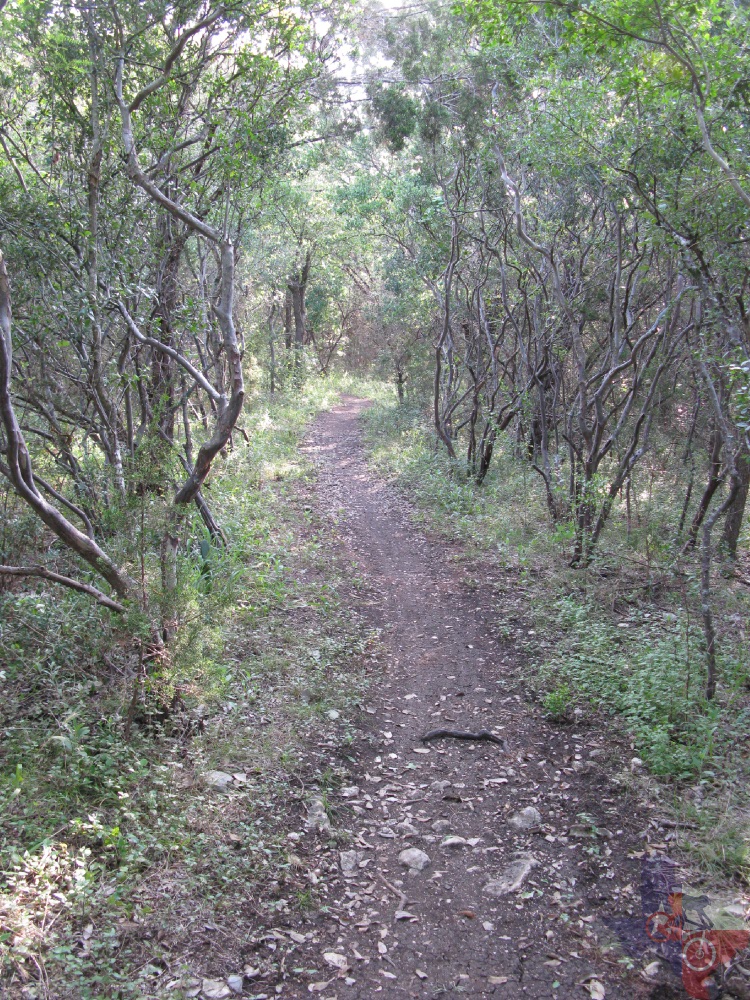
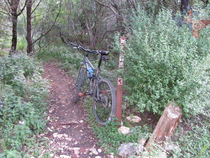
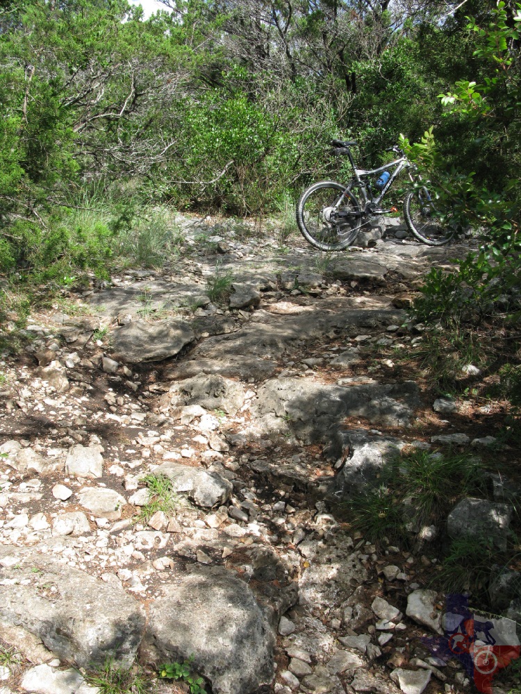
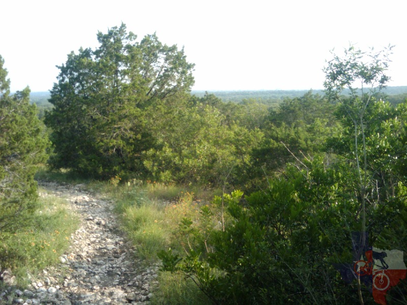
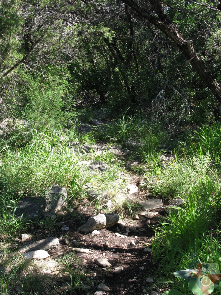
Far Reaches - If you hit up Far Reaches coming from Recharge
Trail, do not be fooled by the picture-perfect singletrack that lies
ahead, the way the sun's rays break through the trees, or the pleasant
sound of birds chirping along the first .25 mile or so. It's really
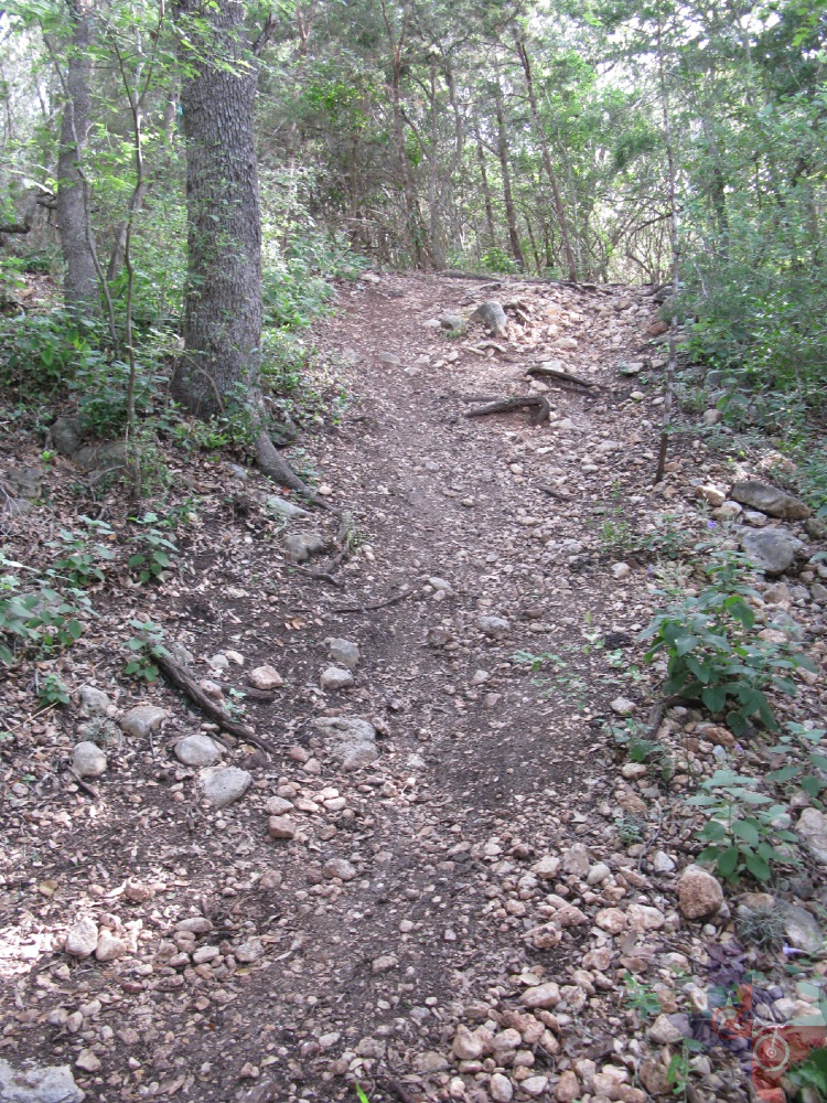
just an evil ploy to trick you in to taking on the 2+ mile rocky climb
that soon follows. Challenging, but not impossible, the key is to be
quick about choosing your line and choosing correctly. A few times you'll
be further tricked into thinking you have crested and it's that it's
time to go downhill...then you start going back up. Eventually you will
reach the highest point of the trail and quickly descend upon the intersection
of Wildcat Canyon and Sendero Balcones. In retrospect, perhaps the other
direction would have been the better choice.
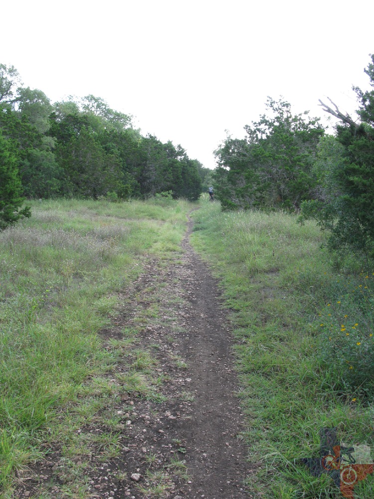
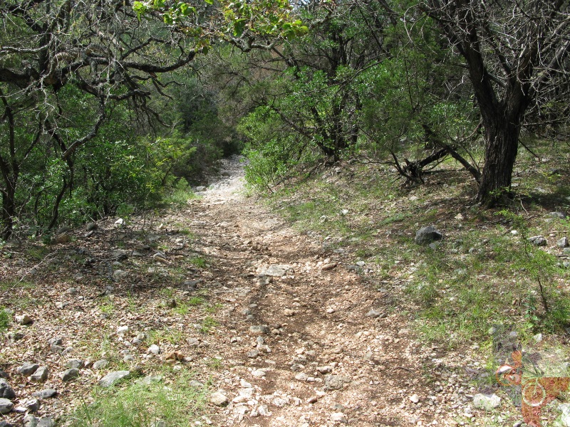
Little Windmill - This little trail is probably the tamest
of the Back Country's trails and serves more as a connector between
JJR and Sendero Balcones, along with linking to the Protected Habitat
Area. Consisting of true singletrack and fewer rocks, Little Windmill,
is a nice break before tackling the likes of Sendero Balcones or returing
to JJR.
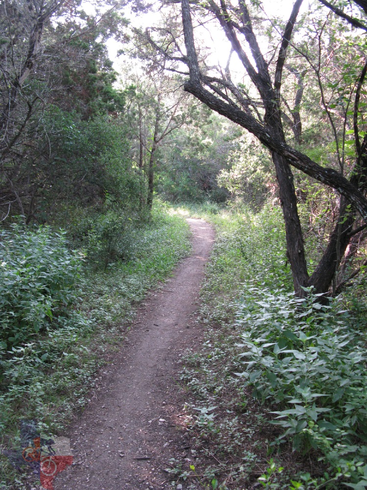
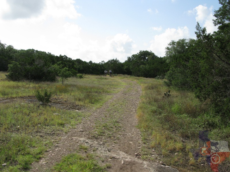
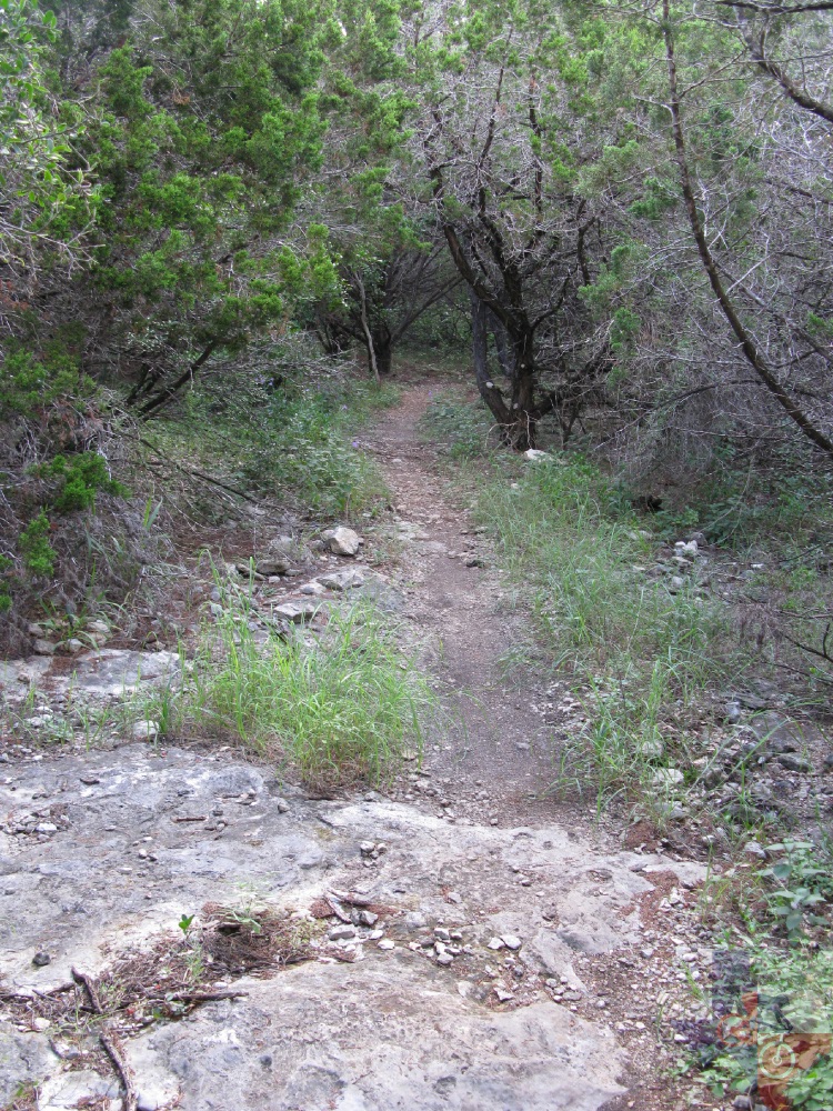
Recharge Trail - Safe to ride either direction, this trail
is primarily doubletrack with a hint of singletrack here and there.
Fairly level, your direction of travel is more dependent upon whether
you wish to go to Far Reaches, or come from Far Reaches.
Sendero Balcones – If you dare to follow JJR to the point
that it heads south along the Protected Habitat Area, you will come
across a few choices of routes: Little Windmill, Twin Oaks, Wildcat
Canyon, Sendero Balcones, or Far Reaches. The first three will bring
you back to various points on JJR and can be rode either direction.
Sendero Balcones faces you up against more climbing, similar to the
JJR’s latter half, but the rocks are a bit smaller. The downhills that
follow each climb are evident, but nothing to get overly excited about
– though there are some nice windy sections as you gain speed near the
end.
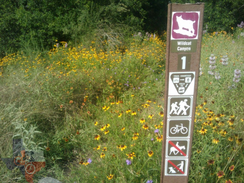
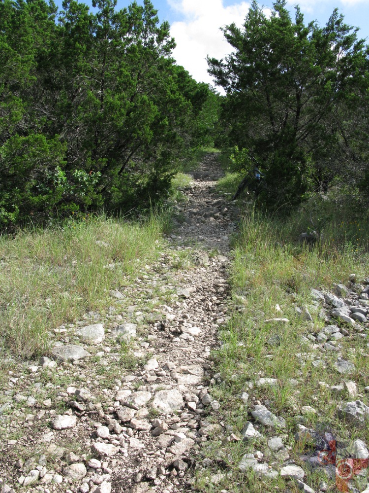
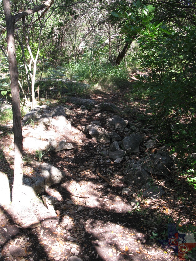
Wildcat Canyon - What Wildcat Canyon lacks in elevation
change it certainly makes up for in technical riding. Most of the trail
is rocky to some degree or another and features several back to back
rolling ledges as you continue gaining speed on your way back to JJR.
Just watch out for the last one as it quickly throws you into a right
turn that can be tricky to make going too fast (trust me). Naturally,
if you are coming from JJR, these will be steps. Be careful along the
creek crossings as the rocks can be loose and pinch flats aren't uncommon.
Like most in this area, they can be an accident waiting to happen if
you hit one of the many rocks just the wrong way.
~ MountainBikeTx.com(updated 7 August 2010)