MountainBikeTx.com
Cypress Creek Hike and Bike Trail
Spring, TX
Click here for help on how to read this trail guide
Directions:
Length:
Technical Level:
Trail Type:
Configuration:
Trail Map(s):
Fee:
Trails:
Amenities:
Links:
Contact:
Comments:
Photos:
Video:
Trail Review:
7 miles (total)
1-2
wide path (gravel); singletrack
out and back w/ loops
none
n/a
pending verification
• Park in the lot provided and
follow the crushed granite trail down the bayou and into the woods.
• Crushed granite trails are hike-and-bike; mountain bike trails branch
off of the main trail.

unavailable
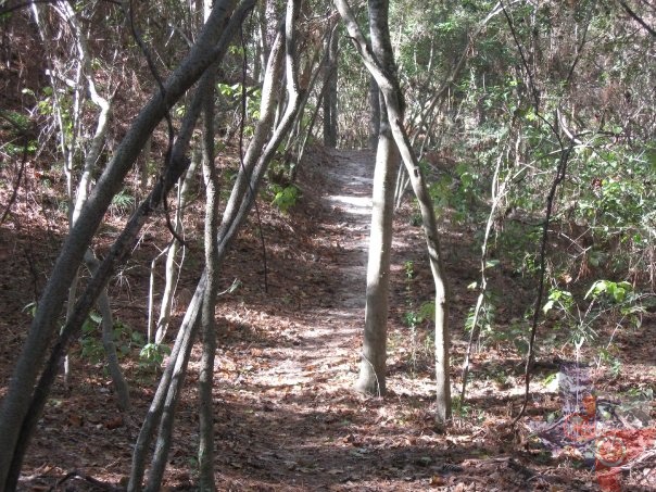
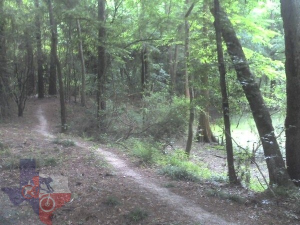
The first mile or so is
straight gravel path. You go through maybe 100 yards of trees then out
in the open along Spring Creek. Once you enter the woods again there
is a trail off to the left. This is a good beginner trail since it doesn't
have anything technical on it at all; however, when you get farther
back on the trail you can see where some folks have tried to make harder
trails leading up some hills.
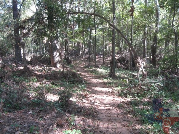
Eventually you will came to a fork in the trail. Go to the left and this
takes you down into a ravine to the right and back up and out (if you
go this way you are cutting over to the next trail down the path). Go
to the right and the trail leads back to the gravel path. Take a left
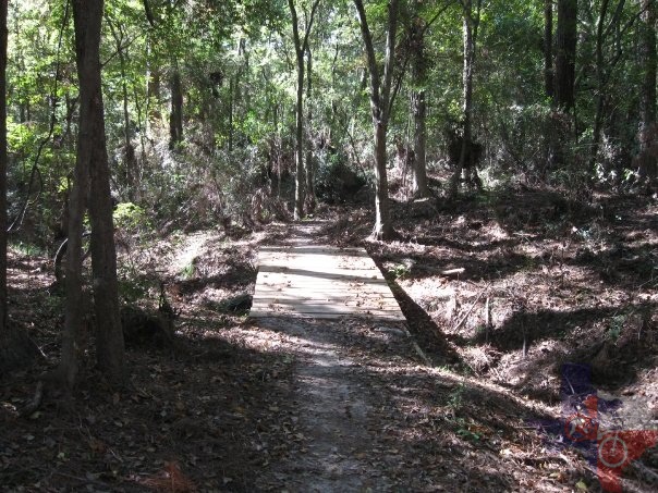
on the gravel path, over the small bridge and hang another left to get
on to the second trail. This trail is a little tougher than the last
one mostly because it has some deep spots of sand, and once you get
to the end of this trail you hit the gravel path again.
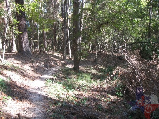
Take another left to go down the path a ways and there is small hill, just
past the hill on the left is another trail that starts off heading down
hill. There is a sharp right at the bottom, then over another bridge
and back uphill. It's not too long.
This is probably my favorite trail out here. It goes around a small swampy
area and you can almost pump the bike all the way around it. Also, there
are a few boardwalks that go through here to get you over the muck.
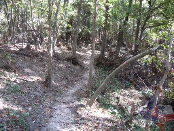
Once at the end, you come out to a greenbelt. Follow the path and take your
first right and up the hill. At the top is hairpin left and back down
the other side. Go around the Cypress trees and you are back out to
the gravel path again. If you go left it leads back to the greenbelt.
Go right and you start heading back to the front of the trails. About
200 yards in you will see a trail on the right, this will lead you back
to the beginning of the swamp trail or you can follow it all the way
back out to the front or ride the first two trails backwards on your
way out. I can ride all these trails in about 30 min and cover 5 miles.
I ride them in a different order every time so it stays entertaining.
~ Wes Comeaux