MountainBikeTx.com
Coleto Creek Park
Victoria, TX
*** TRAILS ARE CLOSED ***
Due to a lack of volunteers needed to maintain these trails, the trails have been reclaimed by nature and are no longer rideable.
Click here for help on how to read this trail guide
Directions:
Length:
Technical Level:
Trail Type:
Configuration:
Trail Map(s):
Fee:
Trails:
Amenities:
Links:
Contact:
Comments:
Photos:
Video:
Trail Review:
6.6 miles
2
singletrack
loops
GBRA (park) | Trail map | Aeriel map
$9 per vehicle/$2 per person (no
vehicle)
(annual permit available for $136)
Cottonmouth Run | The Pit | Dam Loop
• Restroom w/ showers
• Playgrounds
• Volleyball courts
• Marked swimmiong area
• Multi-use campsites (water, 20/30 amp electric hookups, BBQ grill,
and picnic table)p service, water, BBQ grill, table)
• Camping cabins
• Picnic area with 70 picnic tables with BBQ grills, marked swimming
area, playground, and sand volleyball courts
• Four lane boat ramp
• Group pavilions with their own volleyball court, horseshoe pit, marked
swimming area, BBQ pit, water, and electricity
• 200 foot lighted fishing pier
(361) 575-6366
• Developed campsites and cabins
available for additional fee
• Open year round
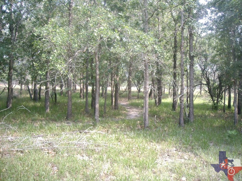
• Trail loops run through live oak motts (groves), along the reservoir
shoreline and grassland prairies
• Relatively flat with a few climbs and obstacles
![]()
![]()
unavailable
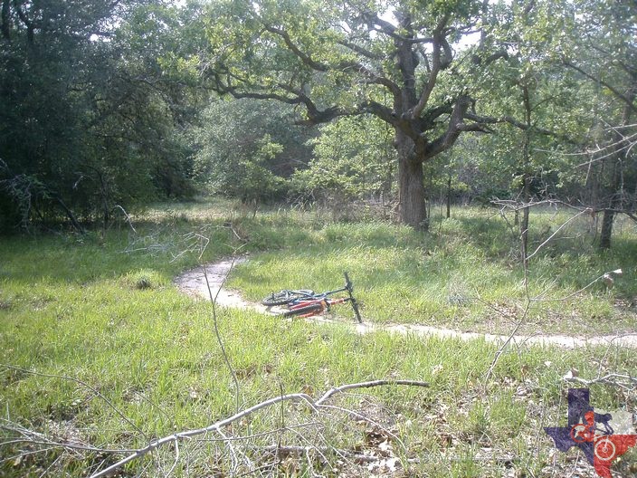
The first two mile loop,
named "Cottonmouth Run", takes riders down narrow lanes through dense
live oak motts with many sharp turns, over large oaks downed by Hurricane
Claudette, and along the Coleto Creek Reservoir shoreline. The average
rating for this trail is "More Difficult". As you shoot down the trail
you never know what you might discover - from a whitetail deer to the
trail's namesake.
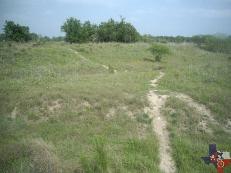
The second two mile loop, named "The Pit", takes you in and around a large
pit created when material was harvested for construction of the Coleto
Creek Dam.
The last two mile loop, named "The Dam Loop", takes you beside the actual
Coleto Creek Reservoir Dam. This section is the flattest but in the
springtime is loaded with wildflowers.
~ GBRA website (2010)