MountainBikeTx.com
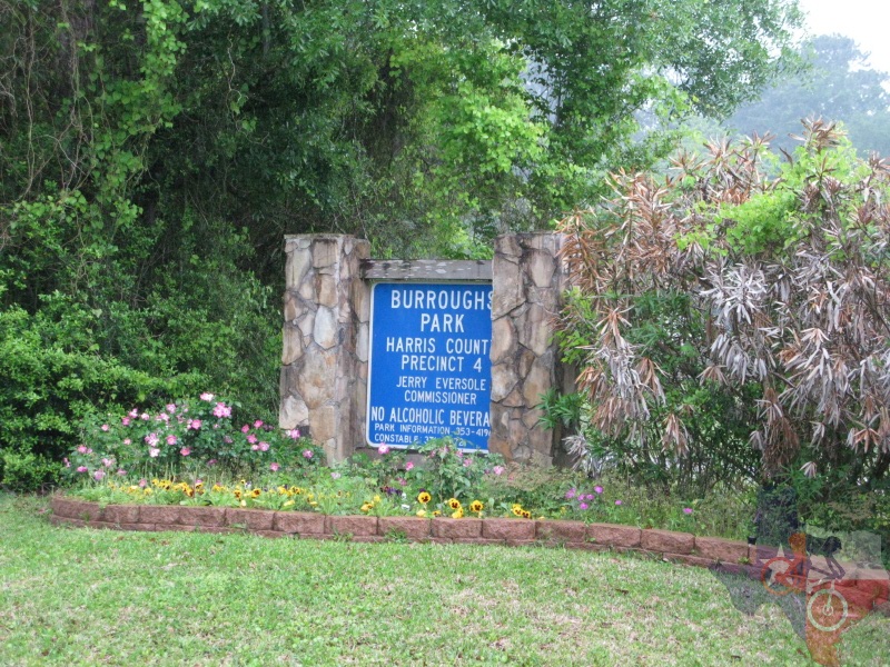
Burroughs Park
Tomball, TX
Click here for help on how to read this trail guide
Directions:
Length:
Technical Level:
Trail Type:
Configuration:
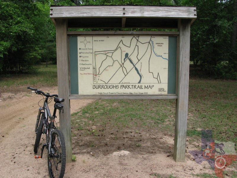
Trail Map(s):
Fee:
Trails:
Amenities:
Links:
Contact:
Comments:
Photos:
Video:
Trail Review:
8 miles
1-2
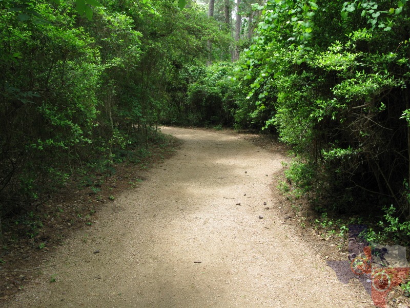
wide path; doubletrack; crushed granite
stacked loops
none
Granite Trails | Primitive Trails
ŌĆó Sports fields
ŌĆó Seven-acre fishing lake
ŌĆó Five playgrounds
ŌĆó Picnic areas
ŌĆó Observation deck and boardwalk
ŌĆó Rest room facilities
ŌĆó Award-winning barbecue pavilion that seats over 250 people
(281) 353-4196 - Parks Reservation Office

unavailable
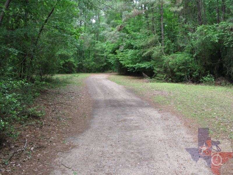
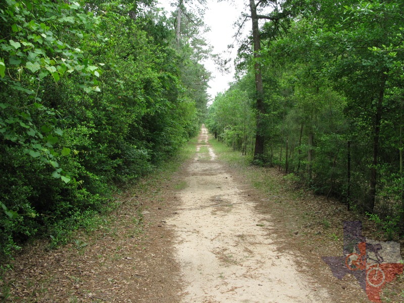
Burroughs ParkŌĆÖs trails
come in two forms: crushed granite trails (about ┬Š mile) and "primitive"
trails (the rest of the park's trail mileage)
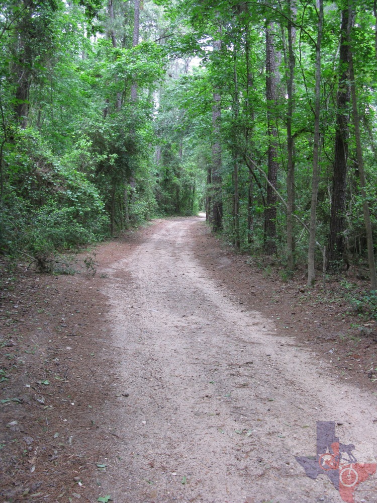
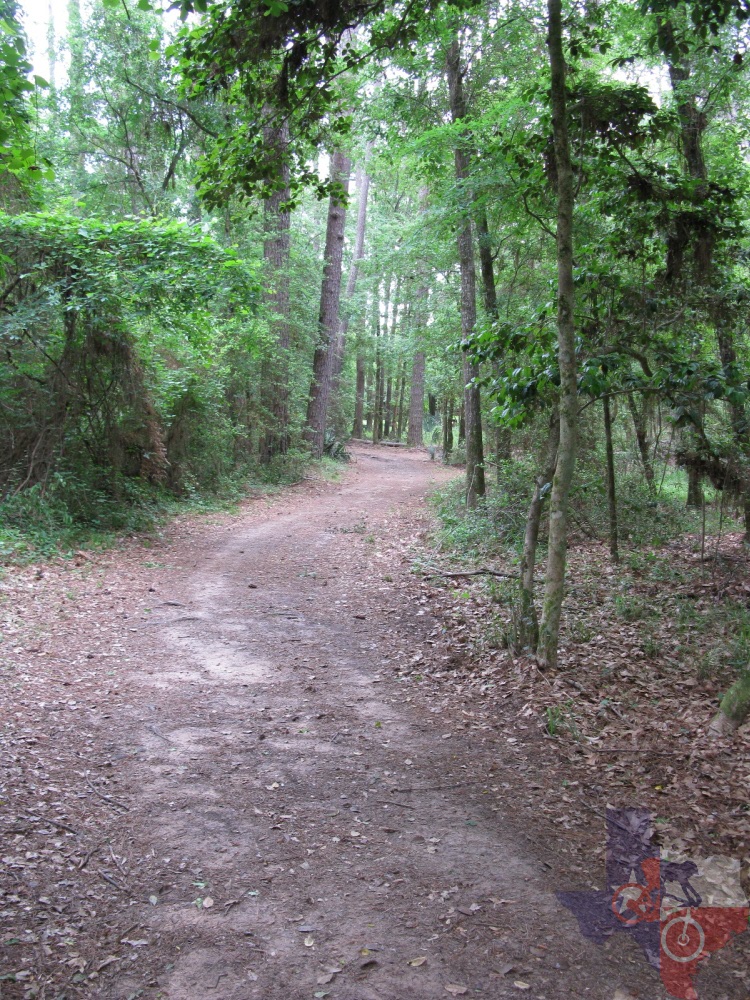
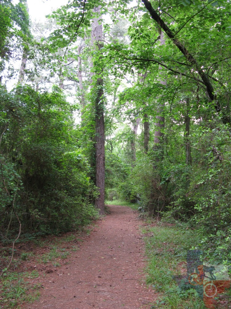
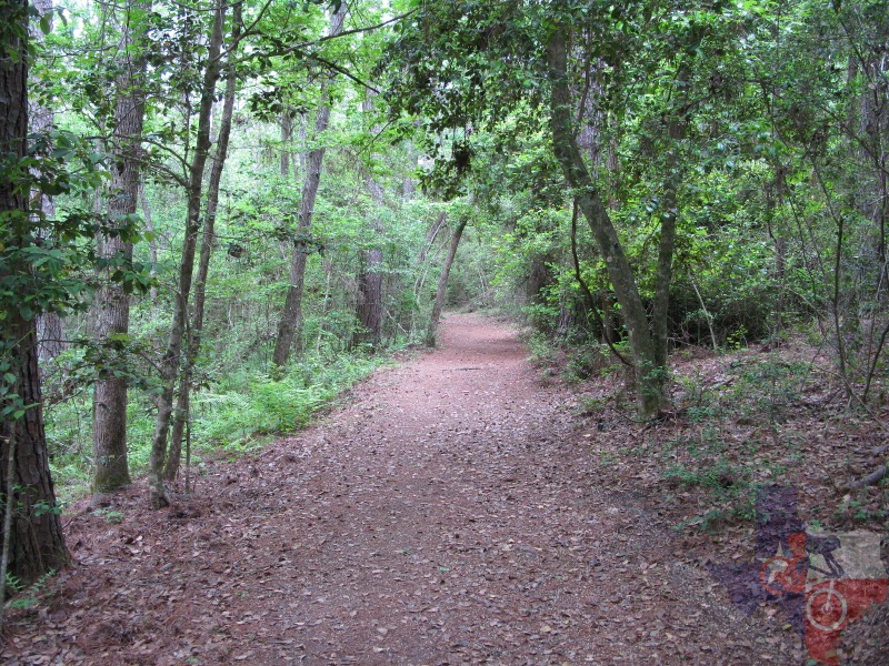
The biggest assets are the primitive trails which can be accessed off of
the crushed granite trail or you can pick up the primitive trails behind
the restrooms or pavilion. If you head down the crushed granite trail
clockwise from the kiosk (which is the direction of travel, anyhow)
you can cross the bridge then hang a right down the ranch road which
provides a steady loss of elevation (translation: speed). Once you get
to the end you will have a couple choices of which way to go. If you
make a right you will eventually come out by the pavilion, though there
are other trails you can pick up on the way. For instance, you can pick
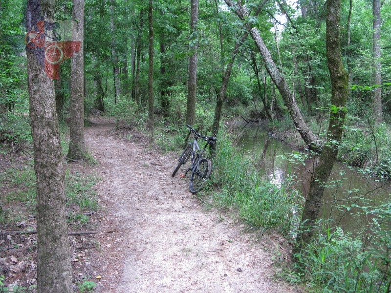
up one of the trails and ride along the banks of Spring Creek. Following
this around will bring you to another option of pedaling back up a long
stretch of doubletrack back to the parking area or picking up another
of the primitive trails.
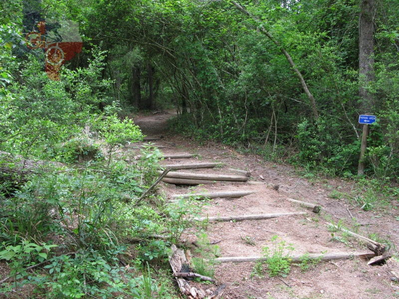
Another method of reaching the primitive trails is to turn right on the granite
trail right before the bridge. Shortly thereafter the trail splits,
and you will want to take the left. This will bring you down a stepped
descent (see photo) forcing you to make a sharp right (or end up in
the bayou), then just follow the primitive trail. If you had taken a
right at the split then you would have simply remained on the granite
trail.
If you stick to the granite trails then this is most certainly rated a 1
as far as technical level; however, the primitive trails bump it up
to a 2. There are some sections along the primitive trails that may
get sandy, but itŌĆÖs nothing too significant to deal with.
The map provided provides some guidance as to where the trails are; however,
there are many other trails and doubletrack routes that are not indicated
on the map. Though you may end up going in circles, simply paying attention
to your surroundings as you ride should prevent this. When all else
fails, head back up one of the doubletrack trails or ranch roads and
return to the parking area. Oh, by the way, signs pointing you towards
the parking area are located throughout the primitive trails.
In a nutshell, Burroughs Park is a decent place to ride, but would be much
better with some singletrack thrown in and a more updated/accurate trail
map.
~ MountainBikeTx.com(Apr 2010)