MountainBikeTx.com
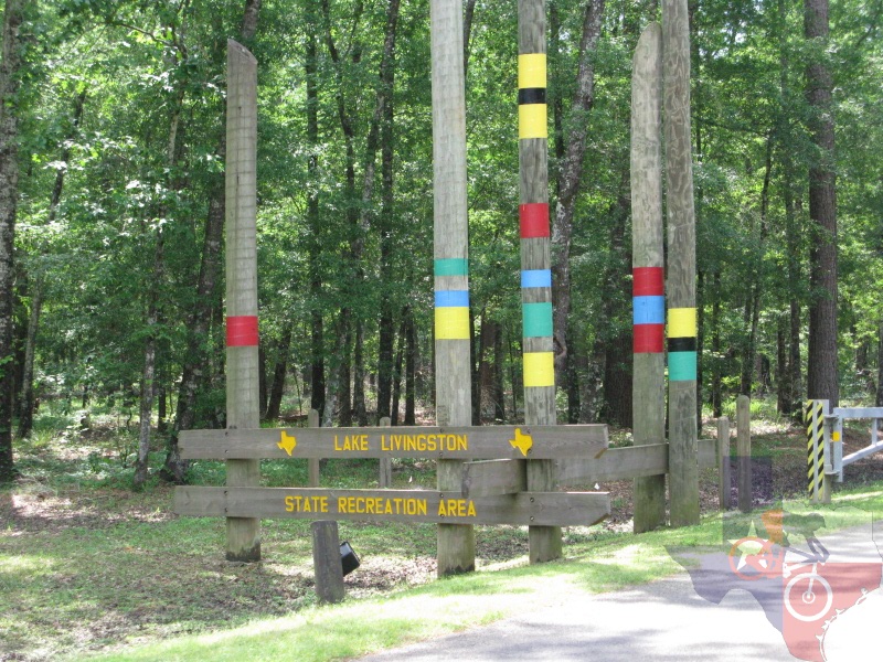
Lake Livingston State Park
Livingston, TX
Click here for help on how to read this trail guide
Directions:
Length:
Technical Level:
Trail Type:
Configuration:
Trail Map(s):
Fee:
Trails:
Amenities:
Links:
Contact:
Comments:
Photos:
Video:
Trail Review:
6.5 miles
2
wide path; singletrack
network
TPWD (park) | TPWD (trails) | GPS/Google (.kml) | .gpx file
$5 per person 13 and older/day use (annual pass available for $70)
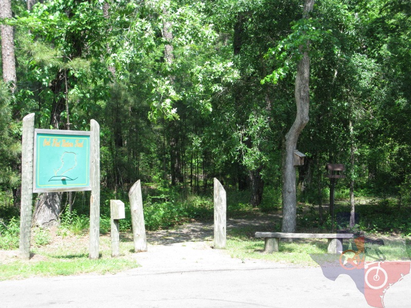
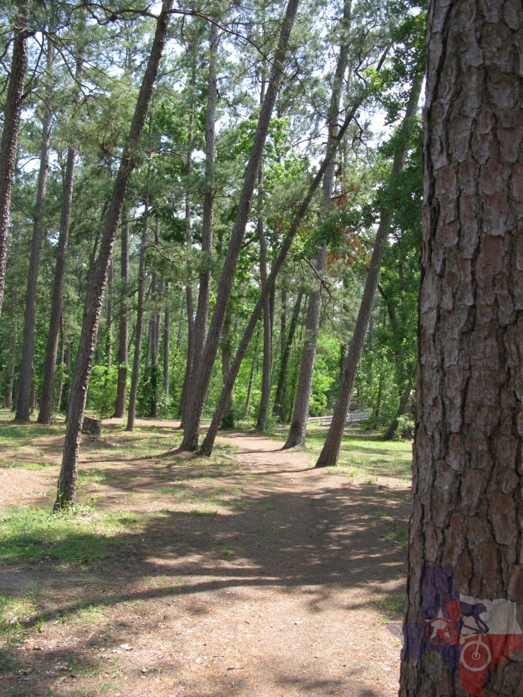
Oak Flats Nature Trail
| Livingston Trail
Headquarters Trail | Piney Woods Nature Walk
Click here for all amenities/facilities and related fees
(936) 365-2201
ŌĆó Trails marked for hiking on map allow mountain bikes
unavailable
When you start out you
can either ride Oak Flat Nature Trail or simply jump on Main Trail.
You wonŌĆÖt miss much by bypassing Oak Flat Trail, as it is only 0.3 miles,
but it is a quaint little ride, though it could use a little more traffic.
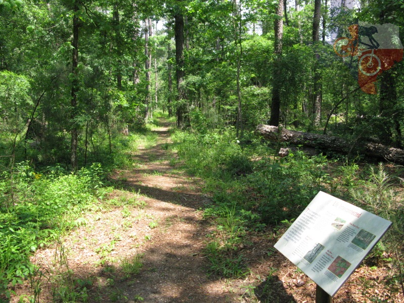
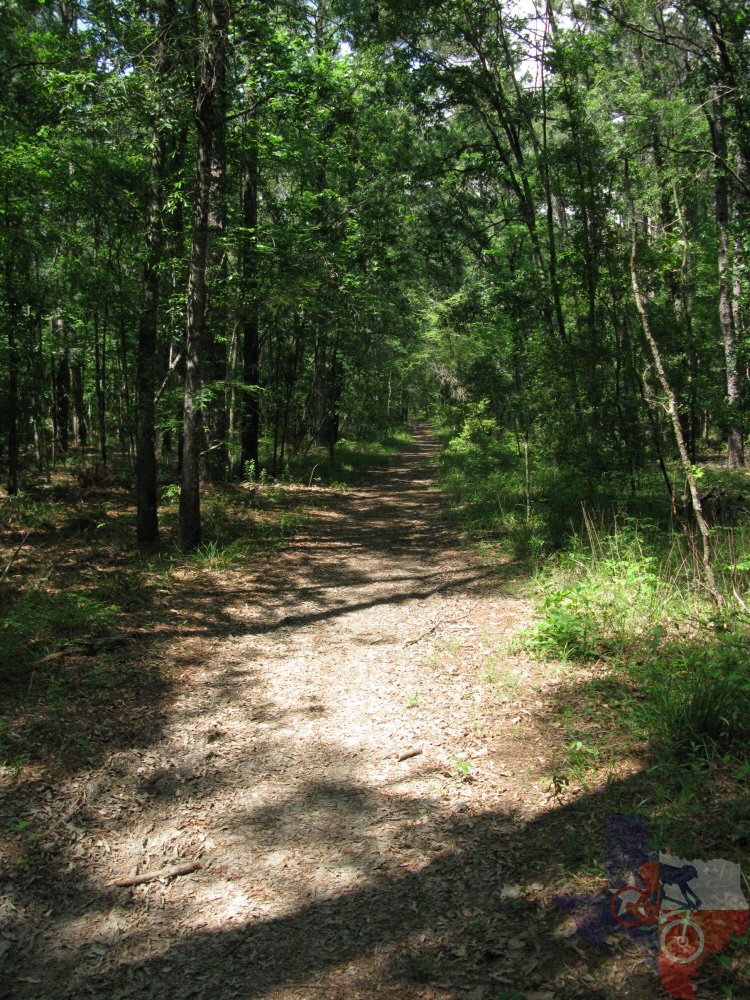
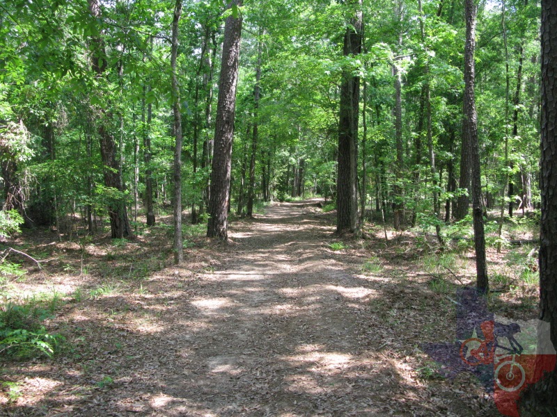
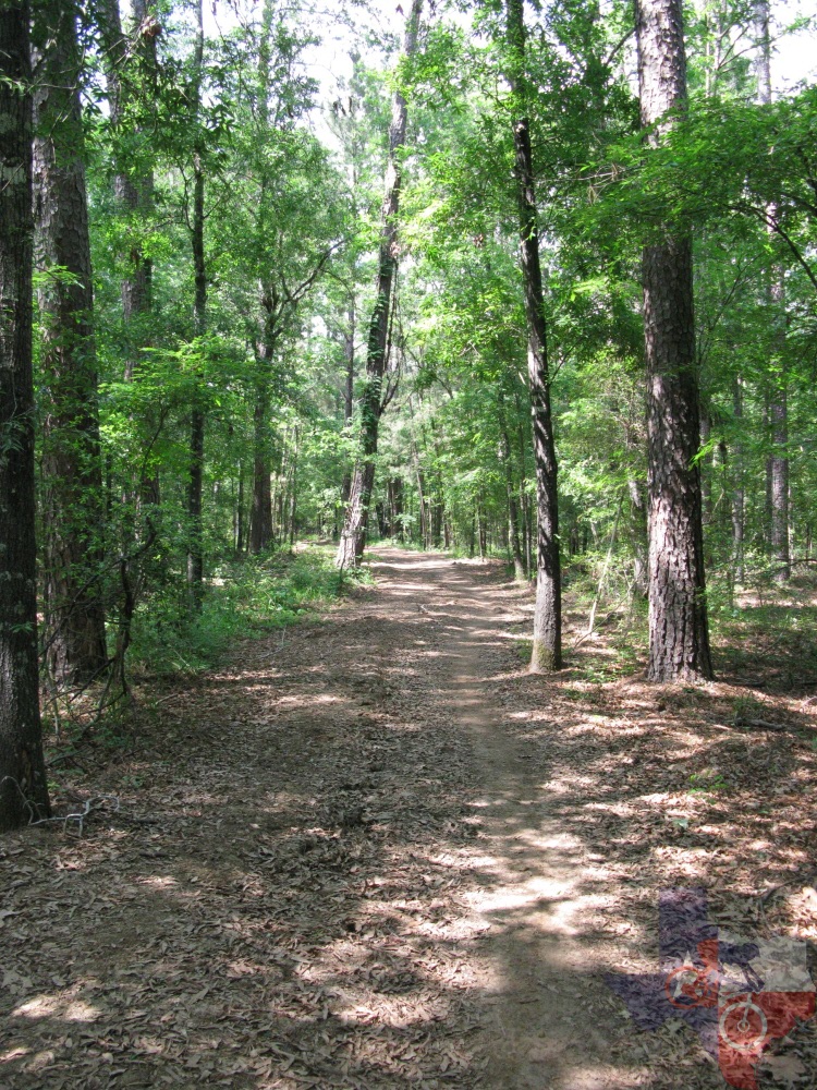
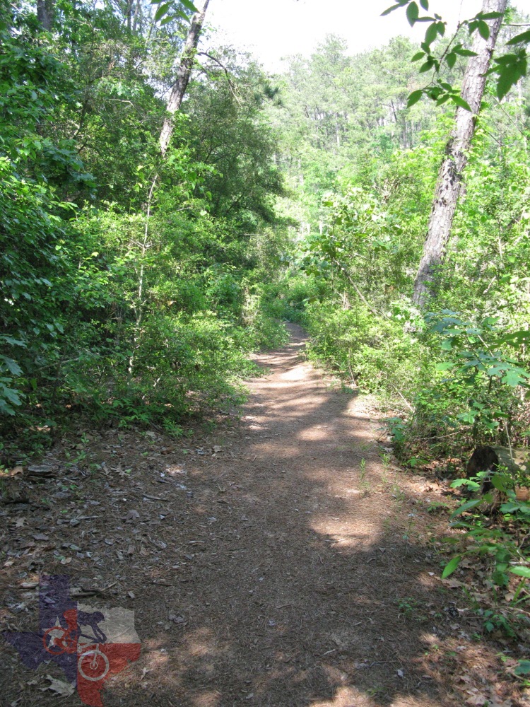
Main Trail is a wide path that simply serves the purpose of you getting
you from point A to point B with little excitement. However, at the
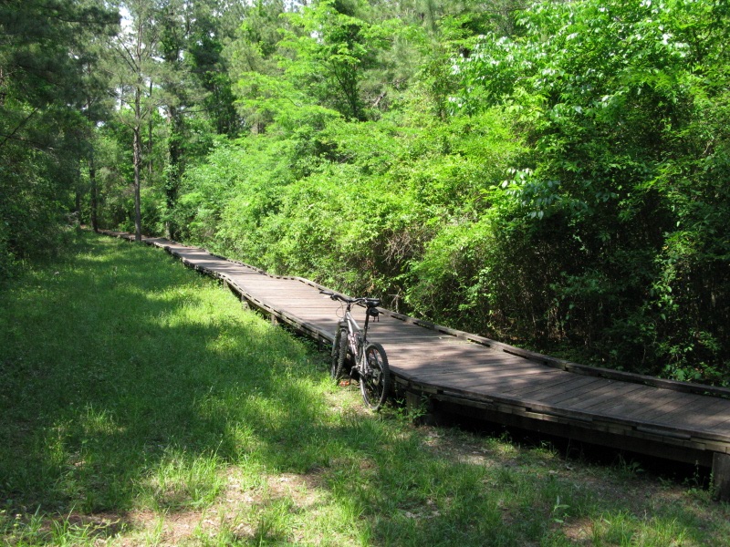
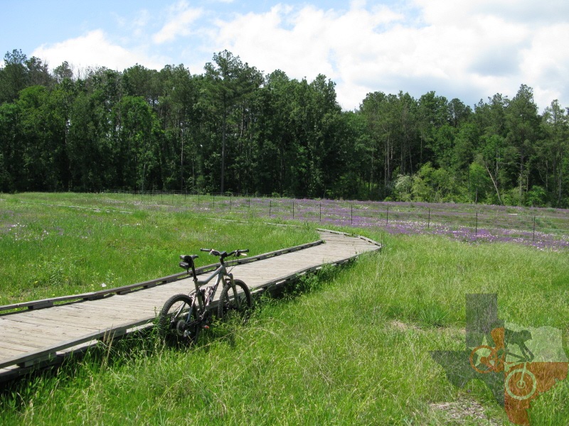
end of Main Trail is the Pineywoods Nature Trail, a nearly one mile
boardwalk trail. Although there are signs stating no bikes, to quote
the Park Ranger, ŌĆ£There isnŌĆÖt anyone over there that is going to break
your legs for doing so.ŌĆØ To me that means only one thing, itŌĆÖs ok to
ride the boardwalk. The Pineywoods Nature Trail is a pleasant little
ride through the woods, especially in the spring when the wild flowers
are in bloom. Also, you can stop at either the frog or duck ponds and
see if you can catch a glimpse of the wildlife.
Once you reach the parking lot, continue across towards the southwest corner
(the corner to your left as you come off of the nature trail), cross
the road, and you will see where the trail picks up. A little ways down
the trail you will come to a ŌĆśTŌĆÖ intersection. If you turn right you
will proceed a little ways until you reach the camping area (and restrooms),
then turn back around. If you turn left at the ŌĆśTŌĆÖ, you will be pedaling
along the greater length of Livingston Trail, crossing several roads
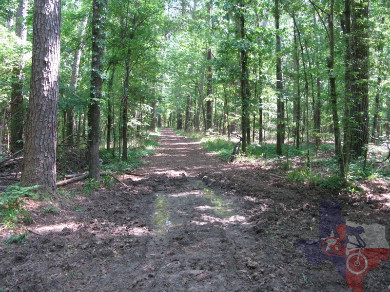
leading to the lake along the way. From the ŌĆśTŌĆÖ to the first road crossed
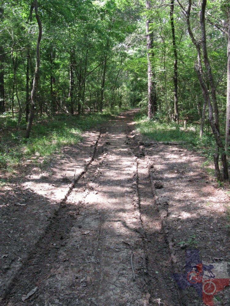
(going either direction) you may notice that vehicles have been driven
on the rather wide trail when it was muddy. Try to stay away from the
ruts and you will be ok.
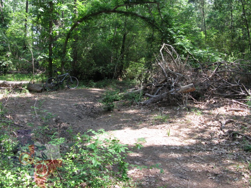
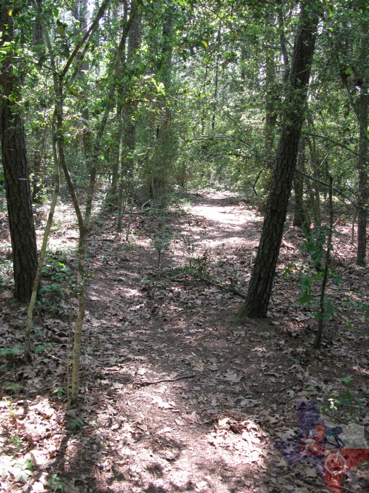
As you get closer to the loop at the southwest of Livingston Trail, you can
follow the trail straight out and back. Shortly after heading back you
can take the trail to your left that heads further into the woods. This
trail will take you to the west side of the inlet (west of ŌĆśbridge outŌĆÖ
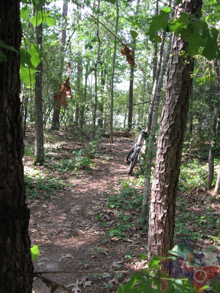
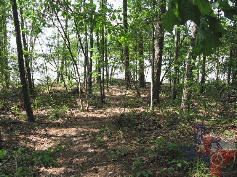
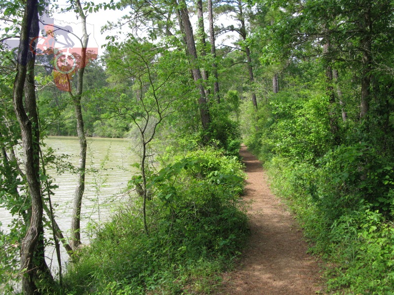
on the map). Following this will put you on some singletrack, allowing
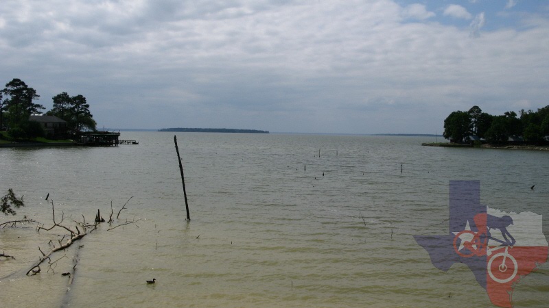
you the opportunity to look out over Lake Livingston and observe all
of the pine trees that have literally fallen into the lake from erosion.
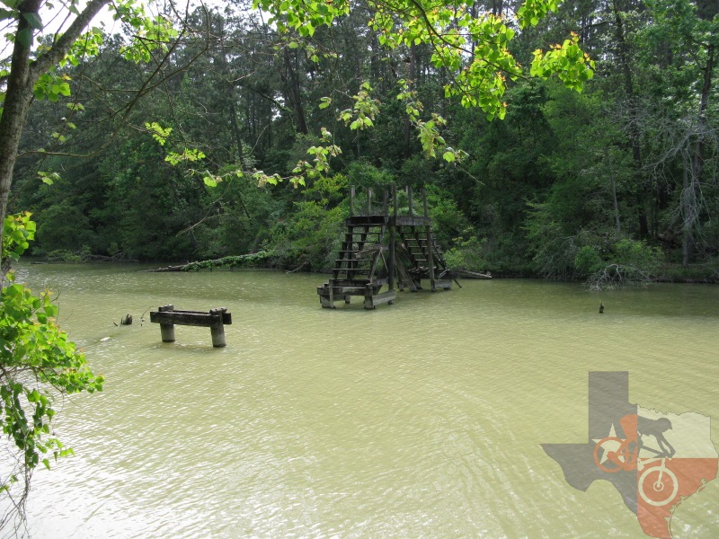
Unfortunately, since the bridge is out, you will have to go back the
way you came. Once you get back to Livingston Trail hang a left and
you will come to another trail that heads towards the lake. This trail
will bring you to the east side of the bridge that is out. No worries,
the singletrack turns right, allowing you to skirt the inlet, bringing
you to a bridge. Cross the bridge, head up the little climb and then
a left back on to Livingston Trail. On your way back you can either
jump on Headquarters Trail or go back the exact way you came.
If you have a beginner rider, these trails aren't too bad of an option for
them to get used to riding on dirt; however, I would recommend saving
the trails around the out bridge until they get a little more confident.
~ MountainBikeTx.com(Apr 2010)