MountainBikeTx.com
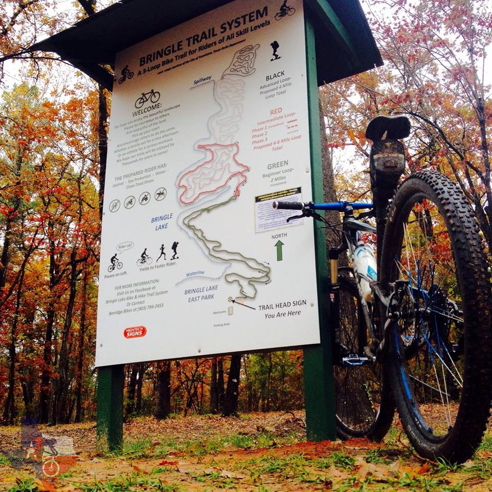
Bringle Lake Trail System
Texarkana, TX
Click here for help on how to read this trail guide
Directions:
Length:
Technical Level:
Trail Type:
Configuration:
Trail Map(s):
Fee:
Trails:
Amenities:
Links:
Contact:
Comments:
Photos:
Video:
Trail Review:
4.25 miles
2
singletrack
loops
none
n/a
• Restrooms
• Water fountain
• Picnic tables
• Playground
(903) 794-2453 - Berridge Bikes
• Direction of trail is clockwise
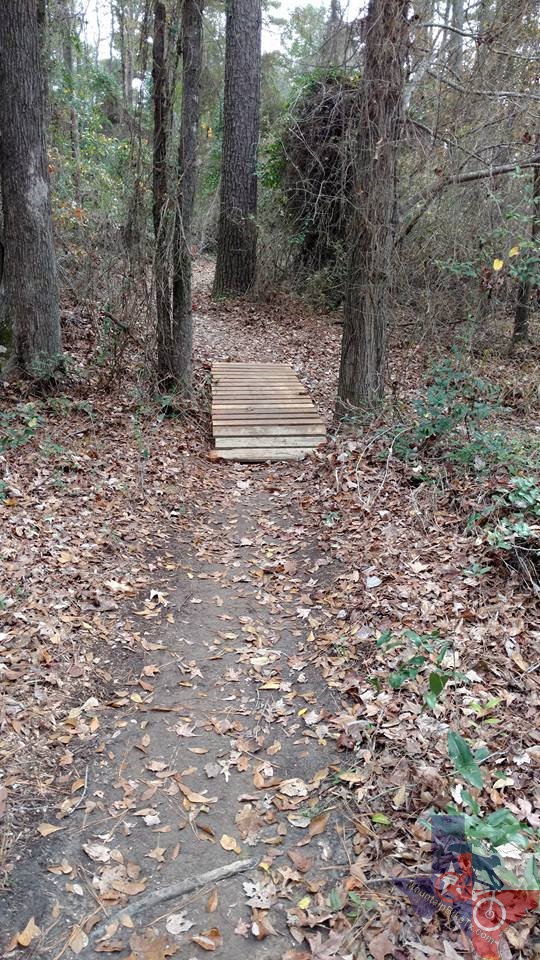
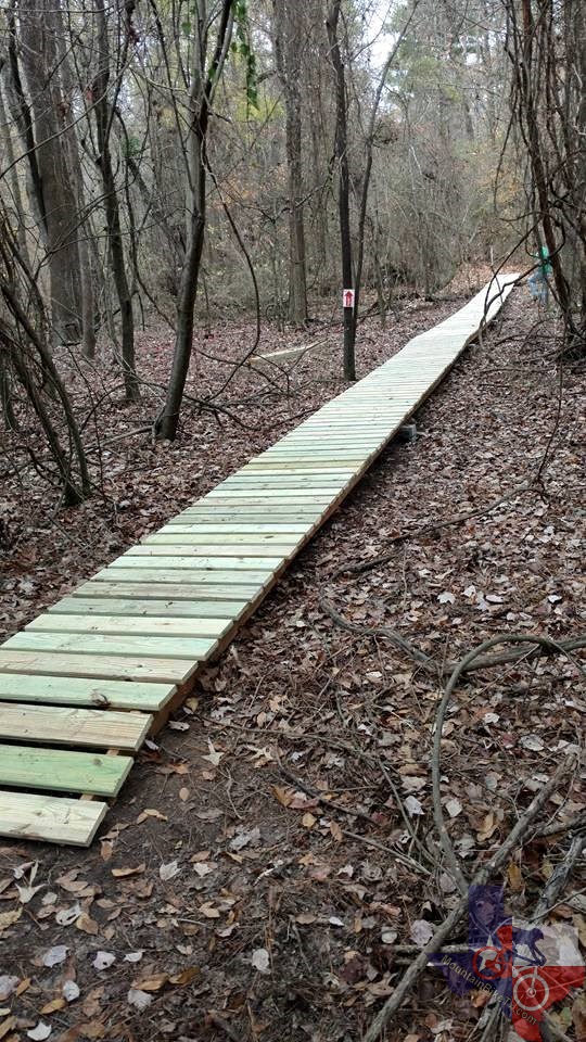
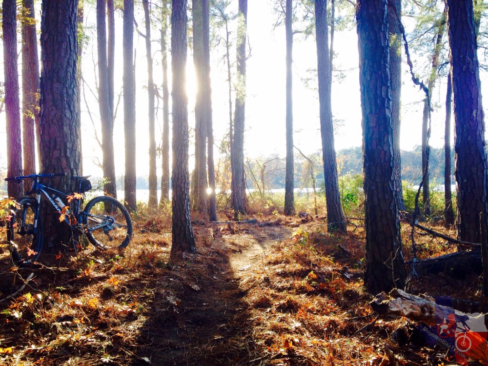
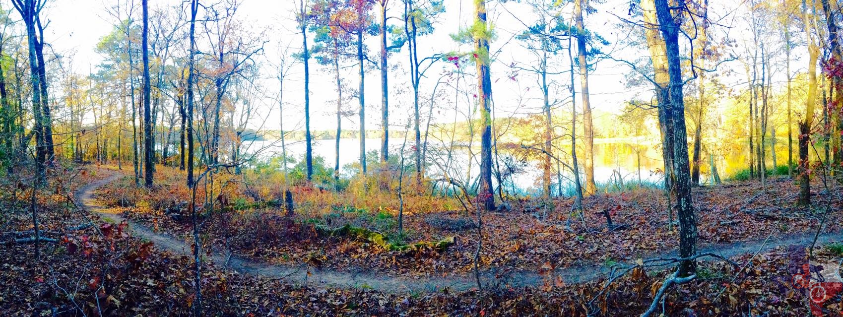
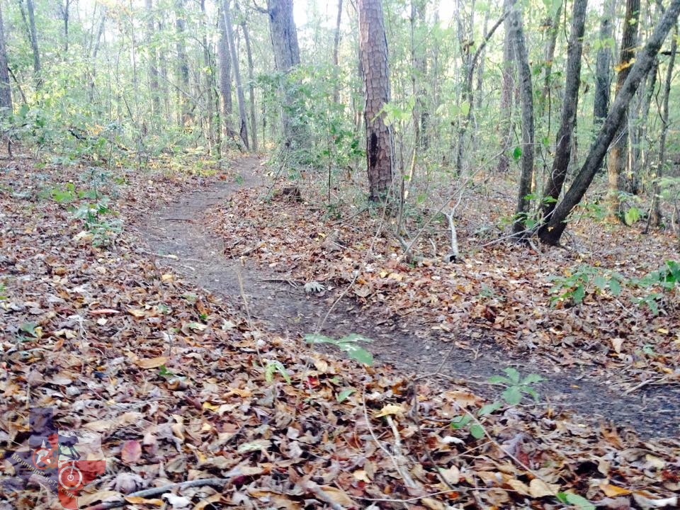
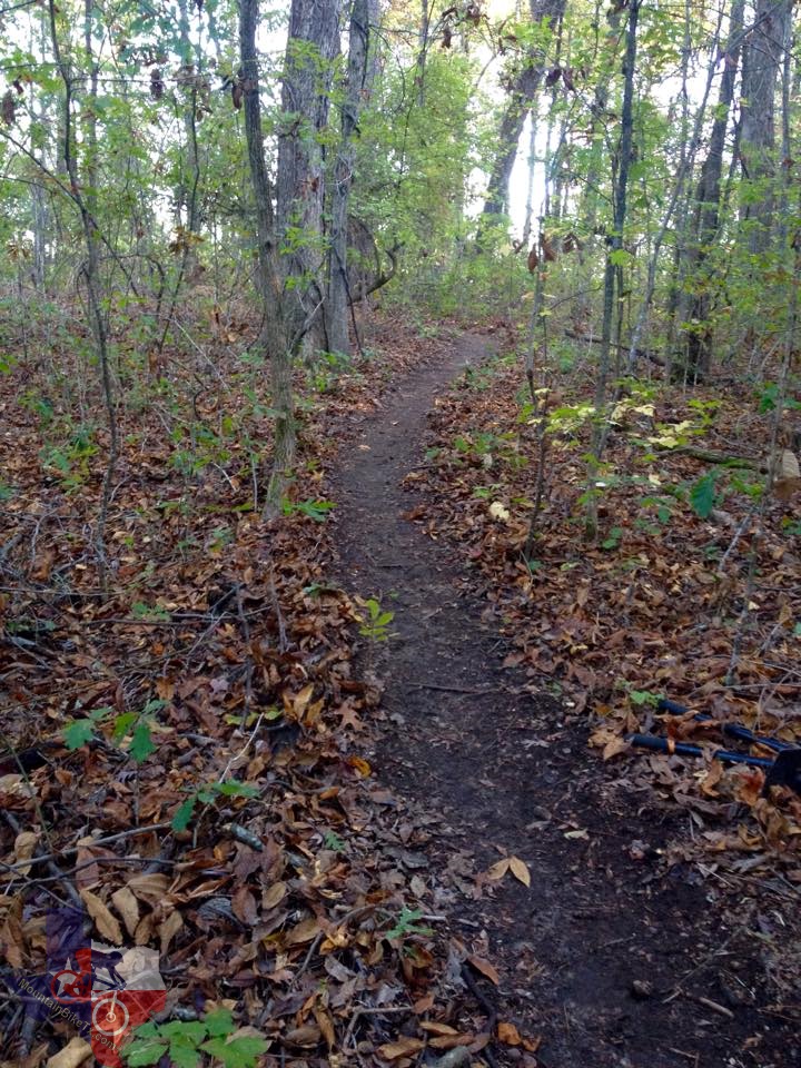
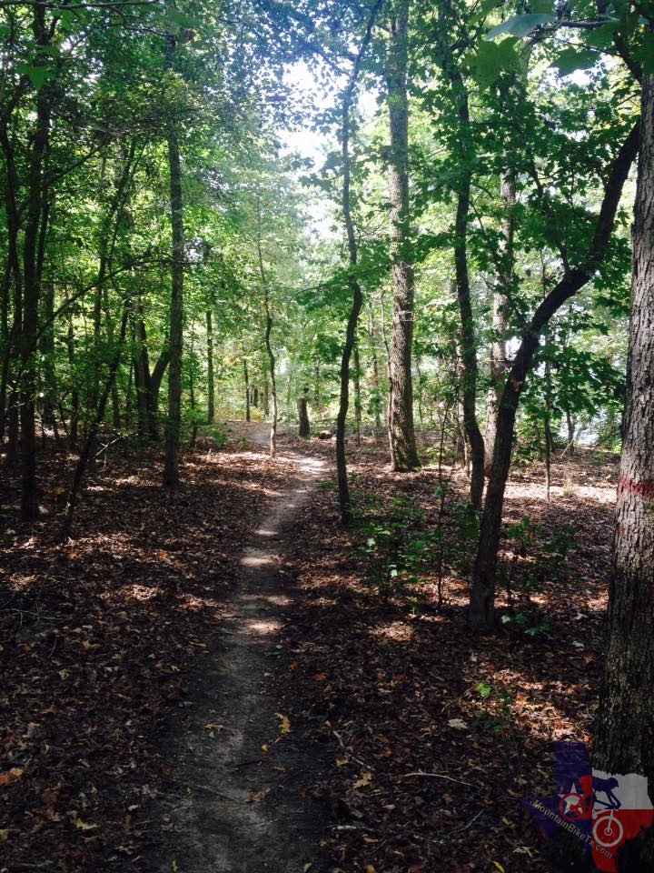
• A nice 3-loop trail system development on Texarkana, Texas city property
around Bringle Lake. Starts easy and gets more difficult as loops progress.
Lots of natural and man-made features. Will be 10-12 miles when completed
in 2016.
unavailable
unavailable
Last modified: 3 January 2016