MountainBikeTx.com
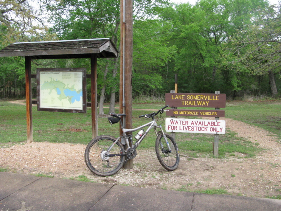
Lake Somerville Trailway
Somerville, TX
Click here for help on how to read this trail guide
Directions:
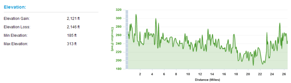
Length:
Technical Level:
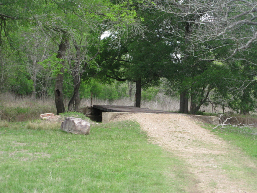
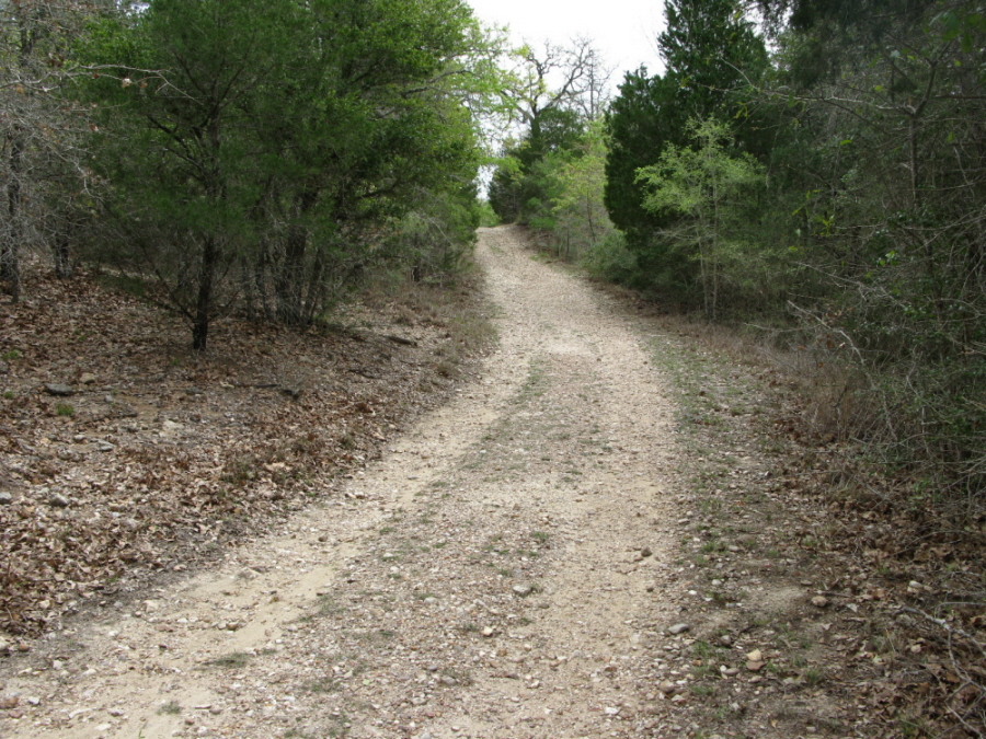
Trail Type:
Configuration:
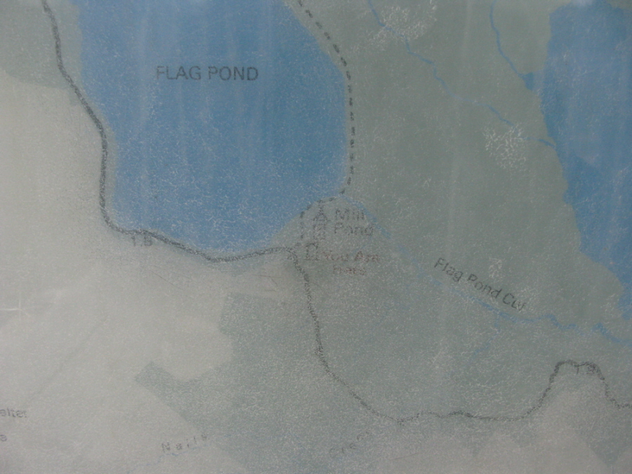
Trail Map(s):
Fee:
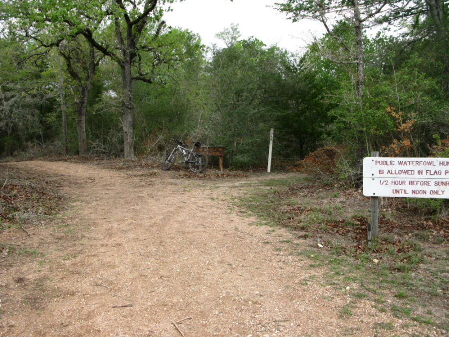
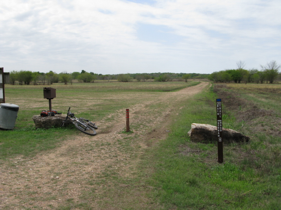
Trails:
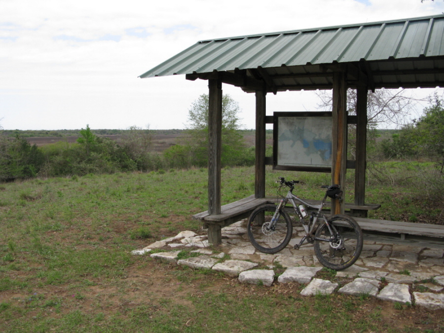
Amenities:
Links:
Contact:
Comments:
Photos:
Video:
Trail Review:
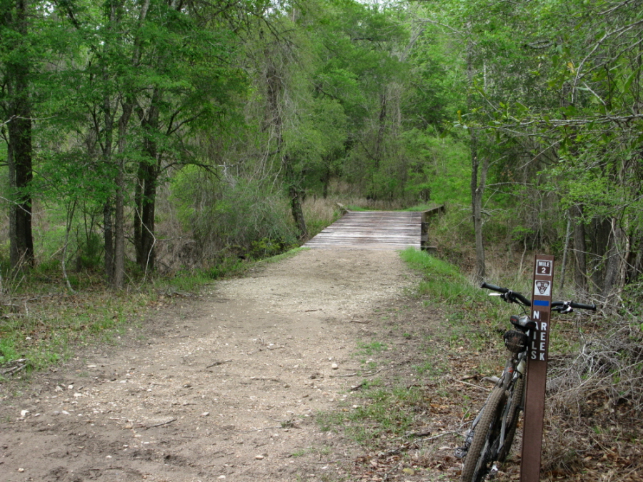
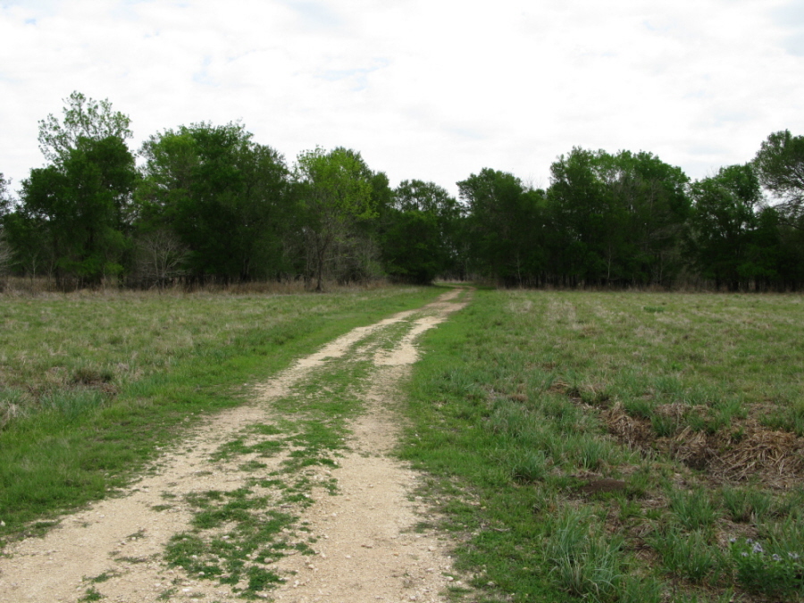
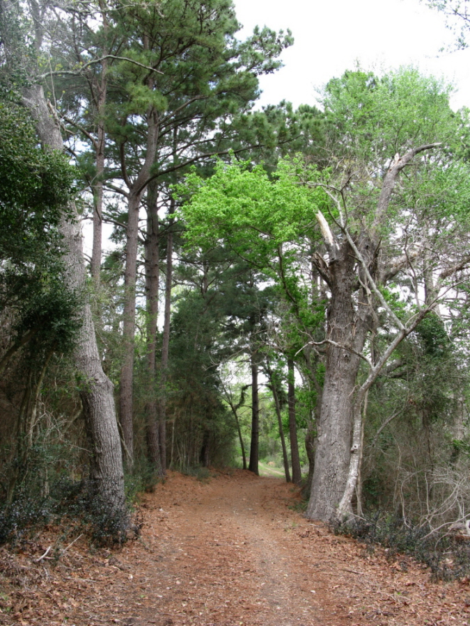
13 miles (one way)
2
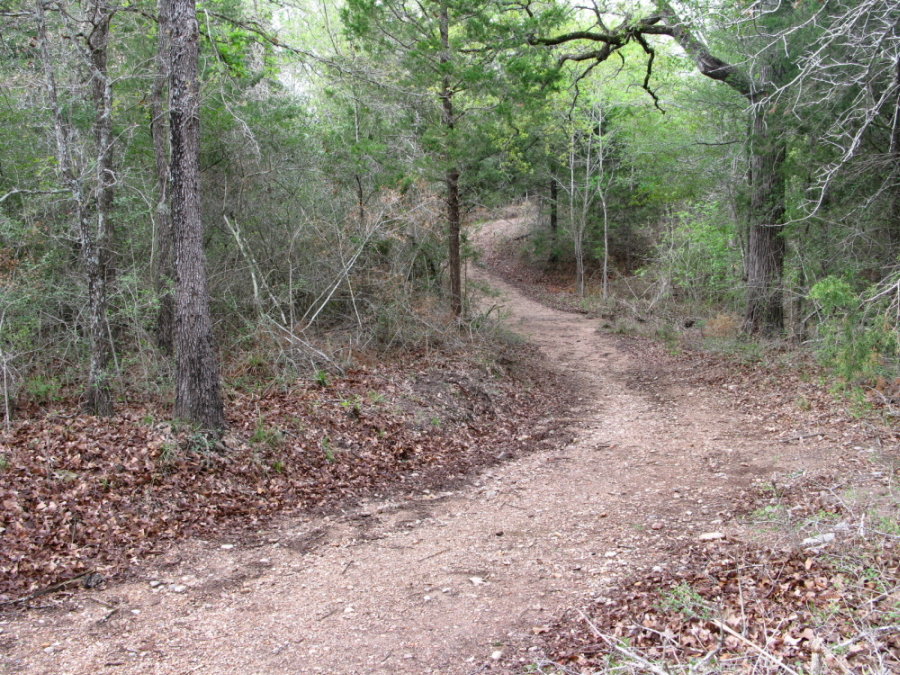
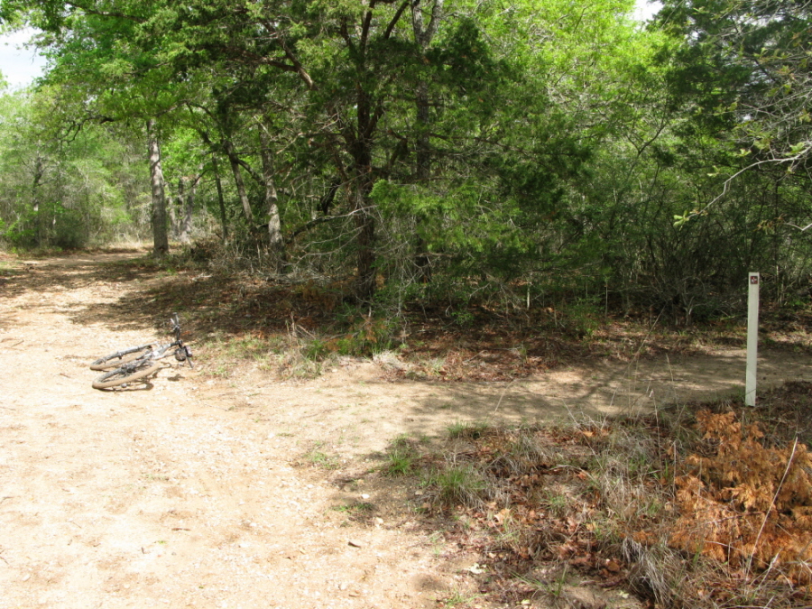
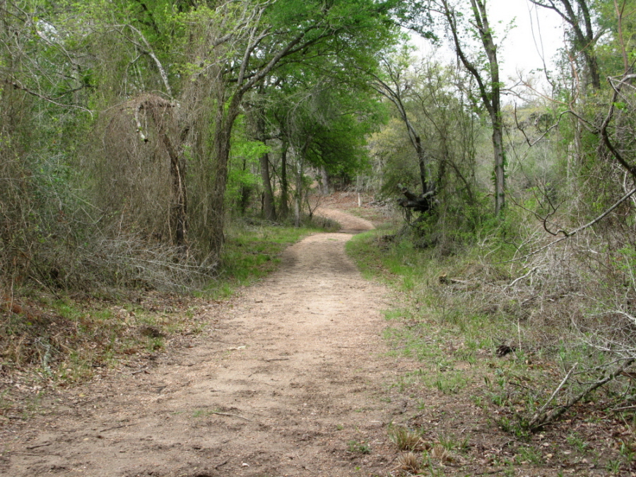
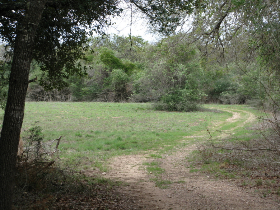
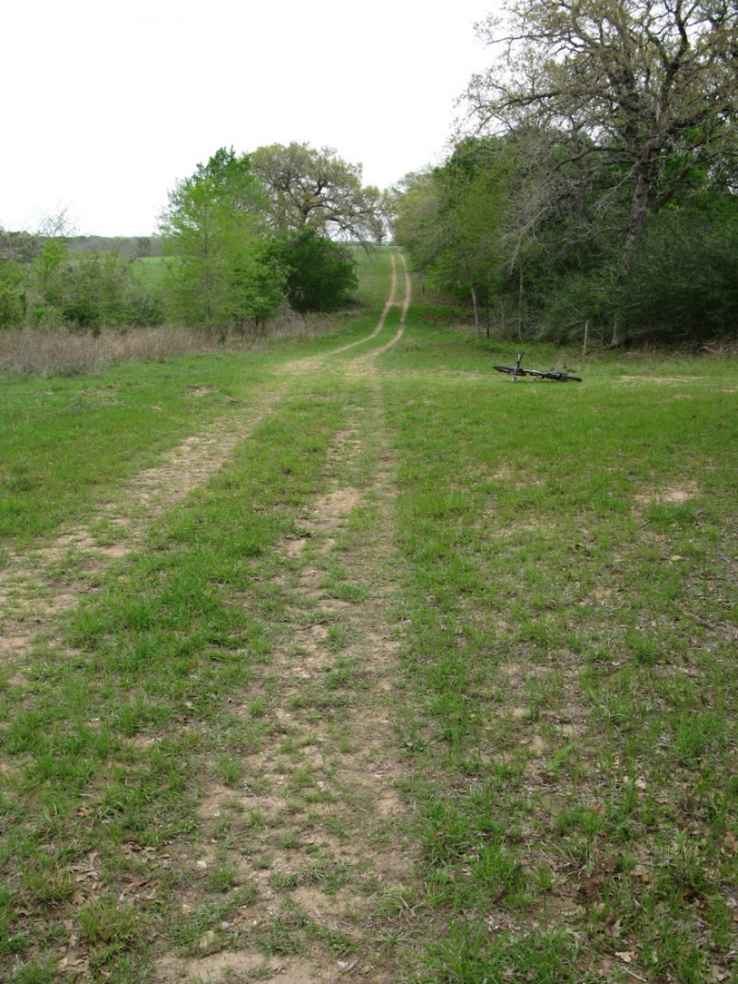
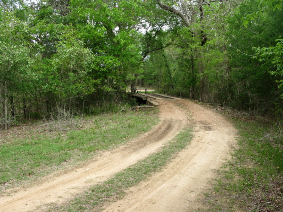
doubletrack; wide path
out and back
TPWD I |
TPWD II |
TPWD III
GPS/Google (.kml) |
.gpx file |
Elevation Profile
$4 per person 13 and older/day use (annual pass available for $70)
Main Trail | Flag Pond Loop Trail | Neuman Road
• Primitive camping
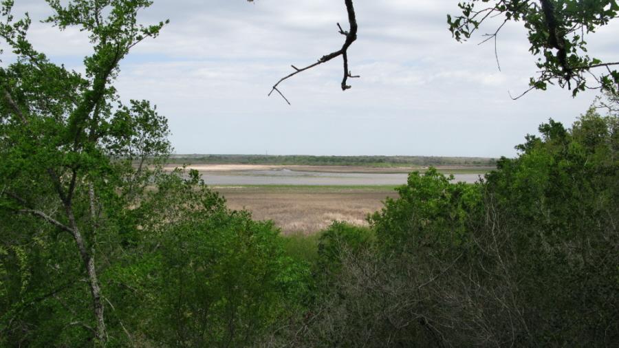
See Lake Somerville
State Park (Nails Creek Unit) for additional amenities
(979) 289-2392
Click here to send an
email
![]()
![]()
![]()
unavailable
unavailable