MountainBikeTx.com
Harry S. Moss Park
Dallas, TX
Click here for help on how to read this trail guide
Directions:
Length:
Technical Level:
Trail Type:
Configuration:
Trail Map(s):
Fee:
Trails:
Amenities:
Links:
Contact:
Comments:
Photos:
Video:
Trail Review:
5.46 miles
2
singletrack
5 connected loops
none
see Comments
(214) 670-4100 - City of Dallas Parks and Recreation Dept.
ŌĆó Hours: 5 a.m. - 11 p.m.
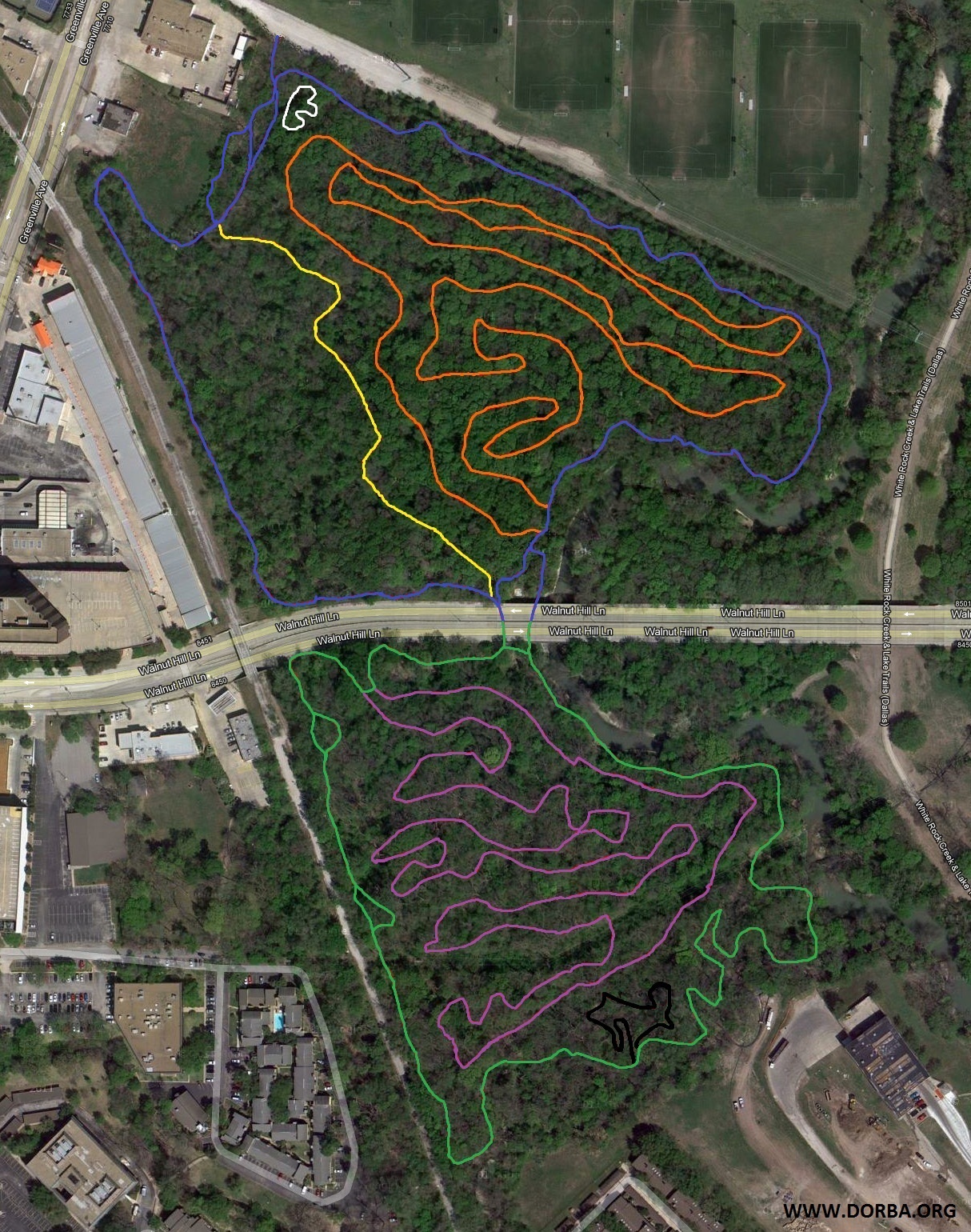
ŌĆó Blue Loop: 1.06 miles
ŌĆó Yellow By-Pass: 0.24 mile
ŌĆó Green Loop: 1.05 mile
ŌĆó Purple Loop: 1.54 miles
ŌĆó Black Loop: 0.15 mile
ŌĆó Orange Loop: 1.65 miles
ŌĆó White Tot Loop: 0.025 miles
unavailable
Updated Description:
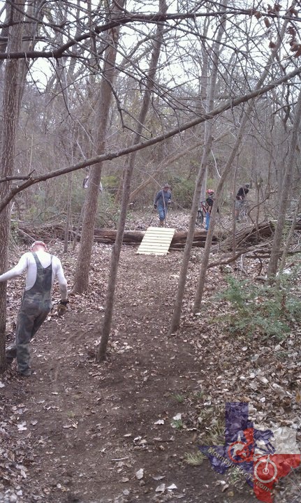
The Harry Moss Park Trail is the product of a partnership between the City
of Dallas and DORBA. As of November 2010 construction of the off-road
bike trail began. It is 5.46 miles long. Harry Moss Park Trail is currently
comprised of 5 connected ŌĆ£loopsŌĆØ ŌĆō BLUE, GREEN, PURPLE, BLACK and ORANGE.
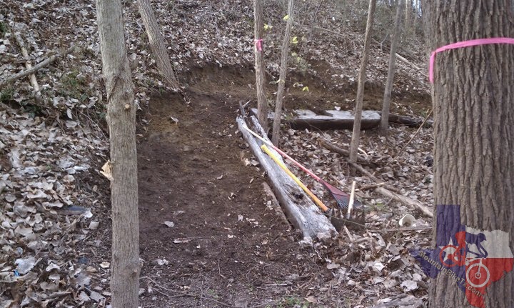
All trails are mostly in the trees, providing for some tight and twisting
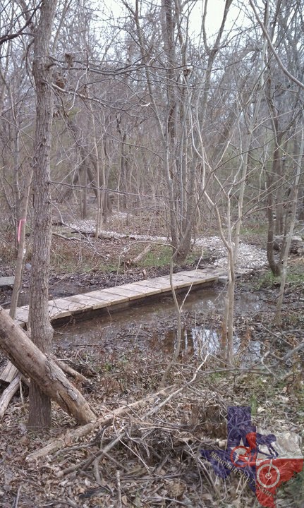
areas with some long flowing areas, Dips, Dirt Mounds, Tree Gates, 7
Wooden Bridges, and some short Hills. A number of areas of the trail
come close to the edge of White Rock Creek, making for a very pleasant
environment. This is a multi-use trail so please be considerate of all
other trail users.
~ H. Kincaid (Oct 2012)
This is the newest mtb trail in Dallas, opened in Dec 2010. As of 20 Aug 2011
there are 3 main loops (Blue, Green, Orange) and a Yellow Bypass section
[ed. now 5 1/4 loops]. Start with the Blue section in the front,
it starts with easy singletrack, a narrow tree-gate and a bridge crossing
with a couple of crossings over rock piles.
At the split, either take the Yellow Bypass to the left (easy route) or continue
on the Blue Loop to the right. This part of the Blue winds up and down
along the bank of the creek and the railroad right-of-way; intermediate
level for the first half of Blue Loop. You can get a really good workout
if you push it. The Blue meets back up with the Yellow at the bridge
for Walnut Hill Road. Go left to stay on the Blue Loop back to the parking
lot (this section is mostly flowy and fast), or go right under the bridge
to the Green Loop.
The Green Loop climbs up and down the bank of Walnut Hill Road and then along
the bank of the DART line, lots of off-camber. The second half of the
Green Loop is flat with some twisty parts and tree gates. Shortly after
you cross under the Walnut Hill Bridge again, you can enter Orange Loop
on left. It has some fast, flowing sections for about 2 miles.
We plan to add more trail inside the Green Loop. There are 4 miles now and
should be about 6 miles of trail when finished.
~ H. Kincaid (Aug 2011)