MountainBikeTx.com
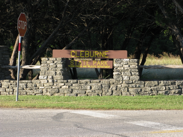
Cleburne State Park
Cleburne, TX
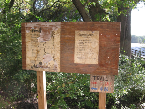
Click here for help on how to read this trail guide
Directions:
Length:
Technical Level:
Trail Type:
Configuration:
Trail Map(s):
Fee:
Trails:
Amenities:
Links:
Contact:
Comments:
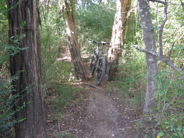
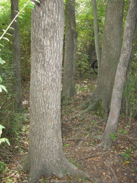
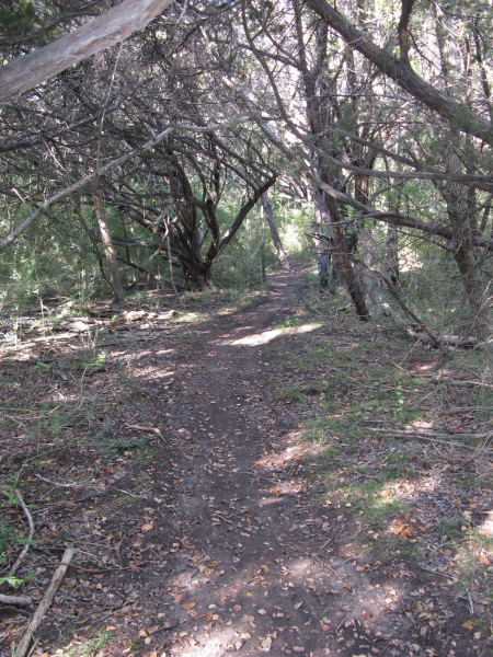
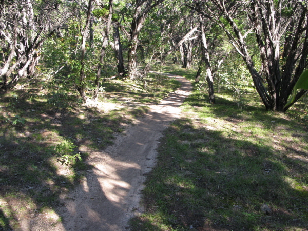
Photos:
Video:
Trail Review:
9.1 miles
2-3
singletrack; doubletrack
multiple loops
$5 per person 13 and older/day use (annual pass available for $70)
Coyote Run Nature Trail
| Fossil Ridge Trail | Spillway Hiking Trail
Whispering Meadow Trail | White-tail Hollow Trail
ŌĆó Restrooms with hot showers
ŌĆó Camping
(all campsites provide a picnic table and grill,
along with a campfire ring)
ŌĆó Screened shelters
ŌĆó Back-in campsites with utilities and shelters
ŌĆó Dining hall and kitchen
(817) 645-4215
unavailable
When you arrive at Cleburne
State Park park at the trailhead right past the bathrooms on your left.
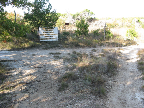
Shortly after hitting the trail you will come to a split and you will
be facing a quarry sign, go ahead and make a left which will have you
riding the trails counterclockwise. Sure, you can go clockwise, but
then you will have to read this review backwards.
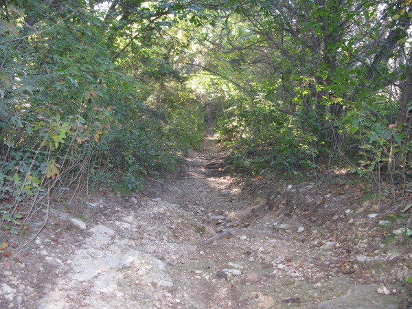
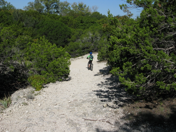
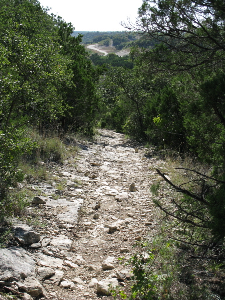
The initial section, Camp Creek Loop, features a few steep, though short
descents that I recommend you watch your speed on. Many of these fast
descents like to throw in a switchback or sharp turn at the bottom.
One nice thing about the climbs and descents, you donŌĆÖt seem to climb
much in order to enjoy the quick drops in elevation. Another noteworthy
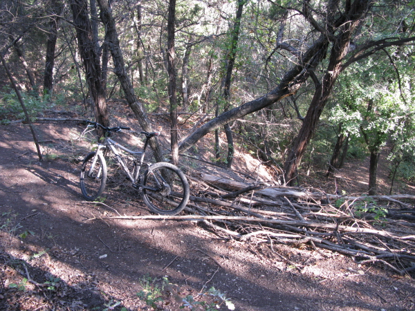
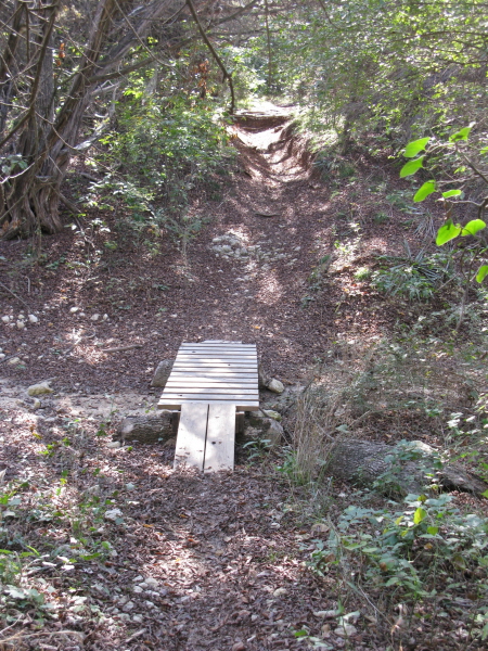
feature of this section is the numerous log crossings. Mostly made up
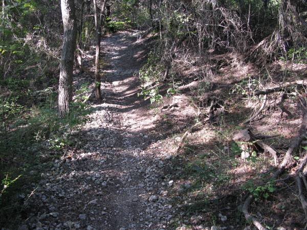
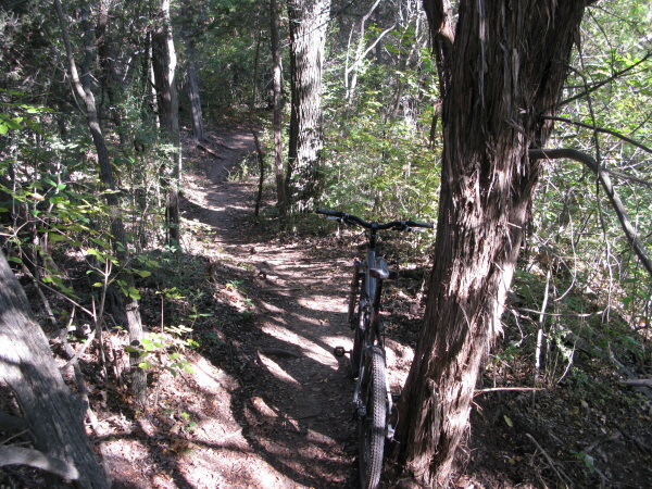
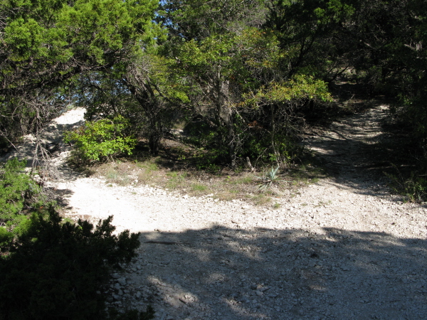
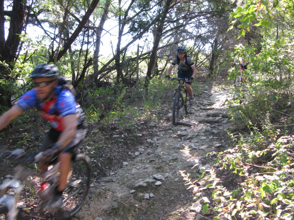
of nice, packed singletrack, there are some rather rocky sections along
Camp Creek Loop, so beginners beware.
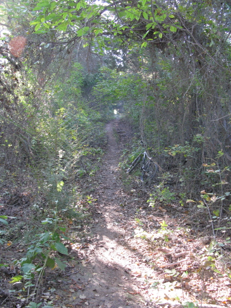
A really welcomed feature of CleburneŌĆÖs trails is that 95% of them are in
the shade. This, of course doesnŌĆÖt change when you find yourself crossing
the park road and dropping down along the Spillway Hiking Trail. If
you have anyone that isnŌĆÖt ready for the technical sections of Camp
Creek Loop, this is a great place to start since its right down the
road from the trailhead. The Spillway Hiking Trail on this side of the
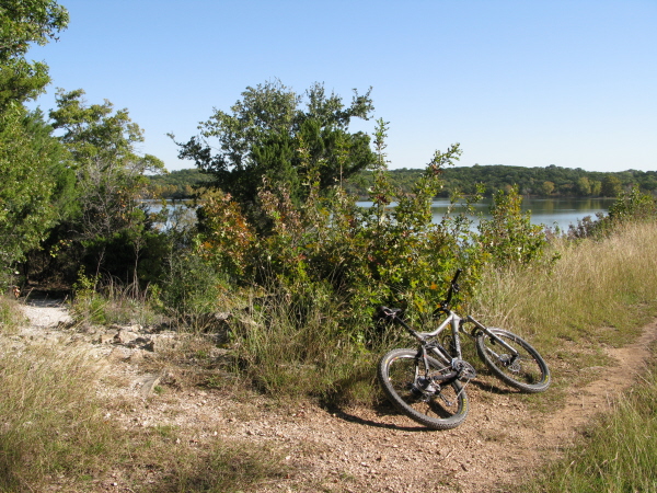
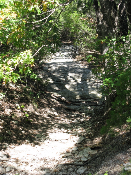
actual spillway combined with the White-tail Hollow Trail offers up
the best singletrack you will find at Cleburne and is what makes Cleburne
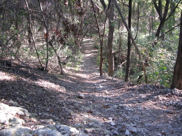
a must-ride if you are in the area. Nice, packed singletrack is the
norm from this point on until you cross the actual spillway, so get
ready to smile. The trail is fast, winding and laced with the occasional
log crossing. Oh, and some spots are a bit tight, so watch those handlebars.
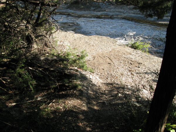
YouŌĆÖll eventually come out to the spillway and find yourself riding
along side of it until you come to a 4-way intersection. If you make
a right youŌĆÖll continue along the Spillway Hiking Trail (the not so
fun part of it).
If you take my advice, ignore the choices and just go straight at the 4-way
and continue following the spillway until the trail dips in the trees.
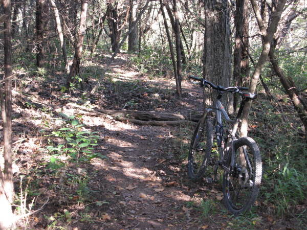
Welcome to White-tail Hollow Trail. Almost nothing but pure singletrack
with great grip, more twists than you can count, and more tight squeezes
through the trees. This winding singletrack has ŌĆśSŌĆÖ curves and ŌĆśSSŌĆÖ
curves (is there such a thing?) all over the place. As long as you are
capable at staying upright at a very slow speed while navigating turns
between trees, youŌĆÖll be good. At one point you will find yourself at
a split overlooking the actual spillway. At this point, take the trail
leading back in to the trees, donŌĆÖtŌĆÖ go up along the spillway or you
will be heading uphill (make it a downhill by saving it for the return
trip). At another point you may end up at the park road again. If you
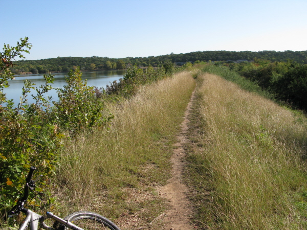
do, turn right, following alongside the road, and youŌĆÖll see the trail
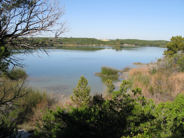
drop down towards the lake. DonŌĆÖt take the rocky section where the trail
splits, just follow the long stretch of singletrack that puts you up
against the lake. Remember that uphill at the actual spillway? Get ready
to go down it, on your way back to the 4-way intersection.
Personally, I say just keep riding along White-tail Hollow Trail, but if
you wish to hit the entire trail and complete your trip around Cedar
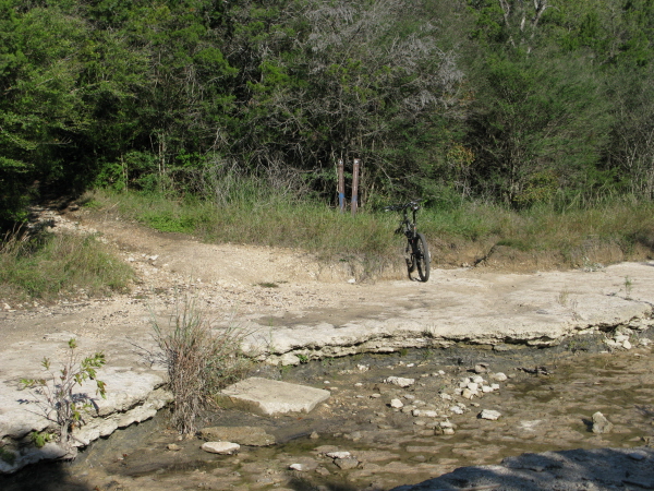
Lake, go ahead and cross the spillway at the 4-way intersection. Across
the spillway the trail now seems to split three ways. DonŌĆÖt worry; they
all come out to the same trail/road where you will then turn left. As
you continue along youŌĆÖll hit a few splits in the trail. No worry, they
all come back together, though the first one is a ridiculous climb regardless
of which way you go. Perhaps thatŌĆÖs their way of welcoming you to Coyote
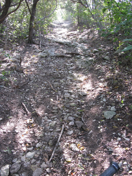
Run Nature Trail, a rather rocky stretch of trail whose climbs and descents
are at about a 1:1 Ratio.
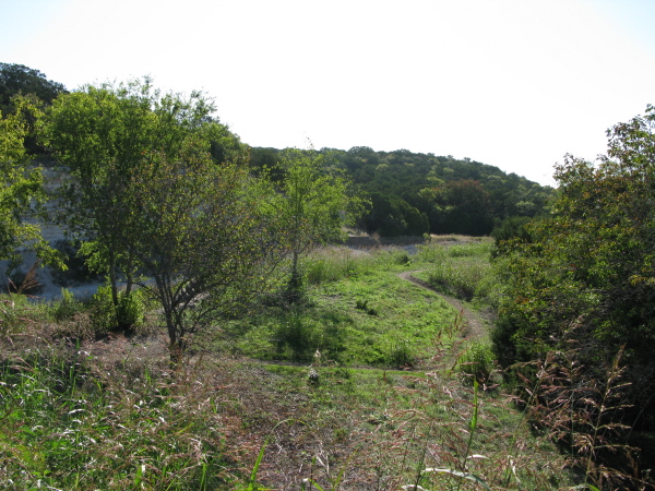
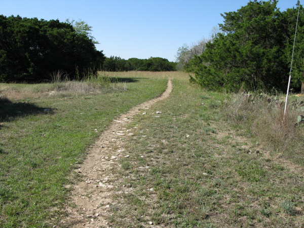
After the rocks of Coyote Run Nature Trail, youŌĆÖll come to Whispering Meadow
Trail, a relaxing stretch of singletrack that is nice and smooth. If
you end up like I did, though, youŌĆÖll pop out of the woods around campsites
24-31 (ŌĆ£KeyholeŌĆØ on the map), just ride along the road to the right
and youŌĆÖll see the trail pick back up. Enjoy it while you can, Fossil
Ridge Trail is next.
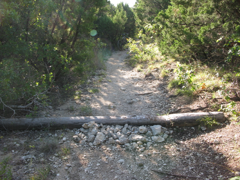
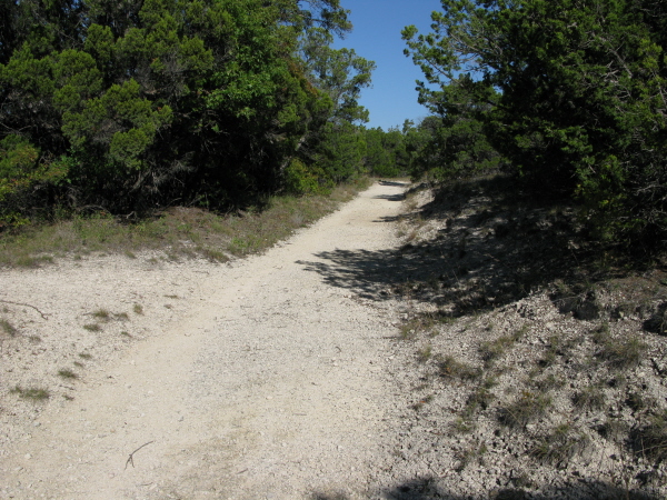
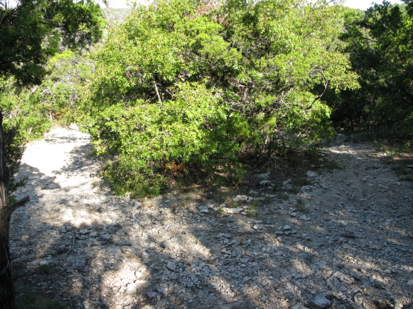
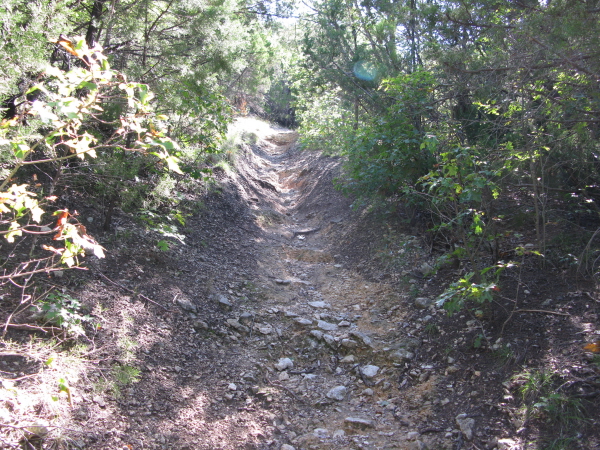
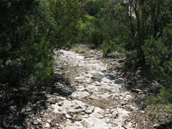
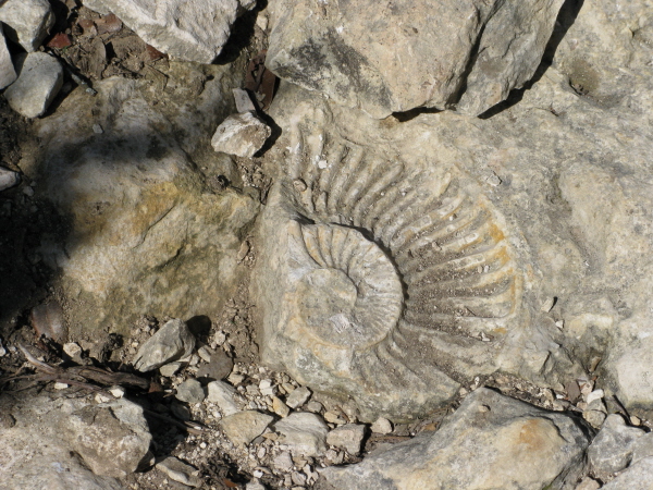
Fossil Ridge Trail is well-named as there are in fact fossils here and there
along the trail if you look closely. The bad news, however? Fossils
are found in rocks, which mean that the trail is going to be quite rocky
from this point on, with only the occasional shot of hard packed singletrack.
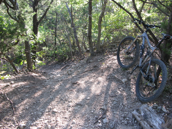
Fossil Ridge Trail does provide some long fast descents, mind you, though
they are very rocky which make things seem a little out of your control
if you donŌĆÖt watch your speed. Besides being a little unstable, the
other bad part about the descents is that they rapidly transition into
equally long, steep climbs. YouŌĆÖll have to contend with 3 or 4 of these
quick downs, slow ups until you reach the final descent. At the bottom
of which it appears as if you are about to come out to the road again,
but you will see the trail cut to the right. Once you make that descent
itŌĆÖs nice, smooth singletrack all the way back to the quarry sign, back
to the trailhead.
~ MountainBikeTx.com(Nov 2008)