MountainBikeTx.com
Caprock Canyons State Park
Quitaque, TX
Click here for help on how to read this trail guide
Directions:
Length:
Technical Level:
Trail Type:
Configuration:
Trail Map(s):
Fee:
Trails:
Amenities:
Links:
Contact:
Comments:
Photos:
Video:
Trail Review:
16 miles
2-3
singletrack; doubletrack
out and back | loop
$4 per person 13 and older/day use (annual pass available for $70)
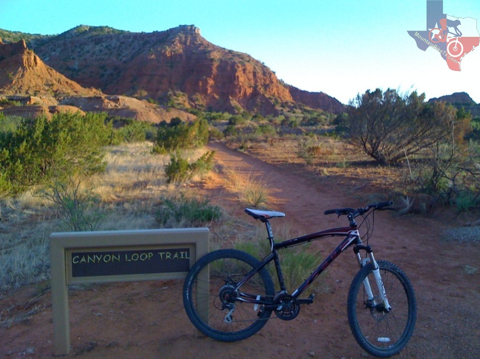
Canyon Loop Trail
| Haynes Ridge Overlook Trail
Lower Canyon Trail | Mesa Trail | Old Ranch
Road
• Restrooms
• Showers
• Trailer dump station
• Boat ramp
• Fishing pier
• Swimming beach
• Various types of campsites(e.g., primitive, equestrian, etc.)
• Group picnic pavilions (50 & 100 person)
• Amphitheater
(806) 455-1492
unavailable
Canyon Loop Trail:
It's called Canyon Loop Trail, but it's really an out and back. It does
connect with the Upper Canyon Trail, which is for horse and hiker only
(according to their sign), and with the Lower Canyon Trail.
It's a beautiful trail with some of the best views of the park. It's pretty
flat but it's got a few fast downhills and a couple good uphills. Nothing
too technical (at least I'm guessing, but I'm a beginner so what do
I know). I never ate it but there were a couple parts where I got a
little worried.
~ Mel McRee (Aug 2011)